Entschenkopf
Located in Oberstdorf, Markt, Landkreis Oberallgäu Coordinates: 47°26′12″ N 10°19′47″ E
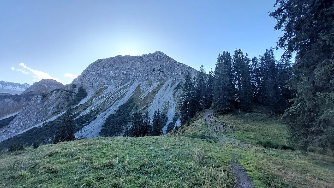
- Elevation
- 1,964 m
- above sea level
- Local time
- UTC+01:00
- Europe/Berlin · UTC+01:00
- Airports
- ACH Sankt Gallen Altenrhein Airport58 km
- FMM Memmingen Allgau Airport62 km
About Entschenkopf
Entschenkopf is a mountain. Location: Oberstdorf, Markt, Landkreis Oberallgäu. Elevation: 1,964 m.
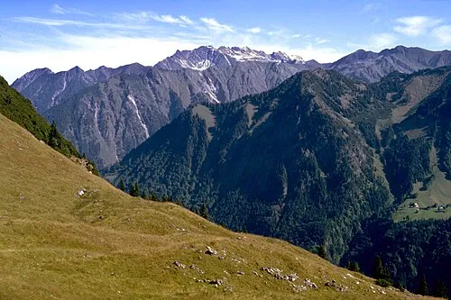
Entschenkopf is a mountain in the Allgäu Alps of Bavaria, Germany. Its mountain ridge, which stretches southwards, forms the eastern boundary of the Gaisalp valley. The Entschenkopf can be reached both from the north (from the Falkenjoch) and from the south (from the Upper Gaisalp Lake).
Source: Wikipedia · CC BY-SA 4.0
At a glance
- Topographic prominence
- 208 m
Source: Wikidata
Photos of Entschenkopf
-

Ricardalovesmonuments · CC BY-SA 4.0 -

Pascal Dihé · CC BY-SA 4.0 -

Sandro Halank, Wikimedia Commons · CC BY-SA 4.0 -

Johannes Robalotoff · CC BY-SA 4.0 -

Hansueli Krapf This file was uploaded with Commonist · CC BY-SA 3.0


Climate of Entschenkopf
This month · November
A wet month
Day 0° · Night -8° · Rain 117 mm
- Hottest month
- July (day 14°)
- Coldest month
- January (night -12°)
- Wettest month
- July (192 mm)
- Driest month
- October (99 mm)
Bars: average monthly low and high temperature. Below: precipitation. Monthly averages for 1970–2000 at about 18 km resolution, adjusted for elevation. Highlighted months are mild and relatively dry. Source: WorldClim 2.1 (CC BY 4.0).
Show values as a table
| Month | Jan | Feb | Mar | Apr | May | Jun | Jul | Aug | Sep | Oct | Nov | Dec |
|---|---|---|---|---|---|---|---|---|---|---|---|---|
| Average high (°C) | -4° | -3° | 0° | 3° | 9° | 12° | 14° | 14° | 11° | 6° | 0° | -3° |
| Average low (°C) | -12° | -11° | -8° | -5° | -1° | 2° | 4° | 4° | 1° | -3° | -8° | -10° |
| Precipitation (mm) | 100 | 100 | 105 | 108 | 127 | 178 | 192 | 177 | 127 | 99 | 117 | 110 |
How to get to Entschenkopf
The nearest airport is Sankt Gallen Altenrhein Airport (ACH), 58 km to the west as the crow flies. For international flights: Memmingen Allgau Airport (FMM) (62 km). The nearest large city is Innsbruck, 83 km to the east.
Airports
- Sankt Gallen Altenrhein Airport (ACH) St. Gallen 58 kmwest
- Memmingen Allgau Airport (FMM) Memmingen 62 kmnorth
- Bodensee Airport Friedrichshafen (FDH) Friedrichshafen 67 kmnorthwest
Nearby large cities
- Innsbruck Population: 132.5K 83 kmeast
- Ulm Population: 120.5K 110 kmnorth
- Augsburg Population: 301.1K 112 kmnorth
- Winterthur Population: 111.8K 121 kmwest
- Munich Population: 1.5M 122 kmnortheast
Straight-line distances; road distances are longer. Airport data: OurAirports.
Day trips from Entschenkopf
Within 100 km: 395 historic and cultural sites, 5,404 natural sites, 1,264 lakes, rivers and coasts.
0–25 km693 places
- Vilsalpsee Lake 13 kmE
- Traualpsee Lake 14 kmE
- Haldensee Lake 19 kmE
- Alplsee Lake 12 kmE
25–60 km2,312 places
- Weiher Diepoldsau Lake 50 kmW
- Alter Rhein Lake 52 kmW
- Nollen Lake 51 kmW
- Nollen Lake 50 kmW
60–100 km4,058 places
- Bayerisches Oberland Mountain 82 kmE
- Mainau Island 90 kmW
- Schloss Hirschberg am Haarsee Historic site 79 kmNE
- Dominikanerinsel Konstanz Island 90 kmW
Straight-line distances.
Nearest towns and villages
-
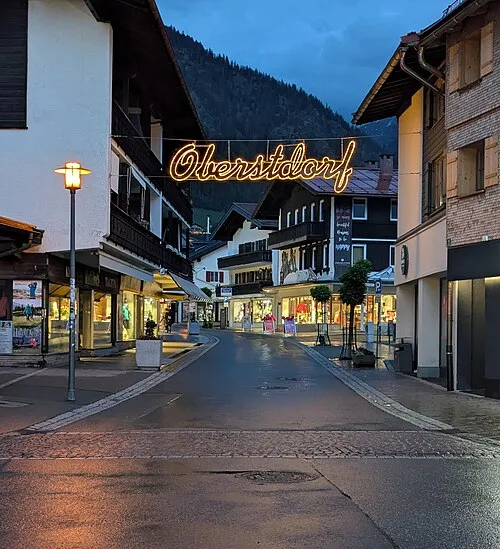 Oberstdorf Town, Oberstdorf, Markt5 km SW
-
Fischen i.Allgäu Village, Landkreis Oberallgäu5.1 km NW
-
Reichenbach bei Oberstdorf Village, Oberstdorf, Markt2.8 km W
-
Rubi Village, Oberstdorf, Markt3.2 km W
-
Schöllang Village, Oberstdorf, Markt3.7 km NW
-
Langenwang Village, Fischen i.Allgäu4.1 km W
Nearby attractions & nature
Everything nearby-
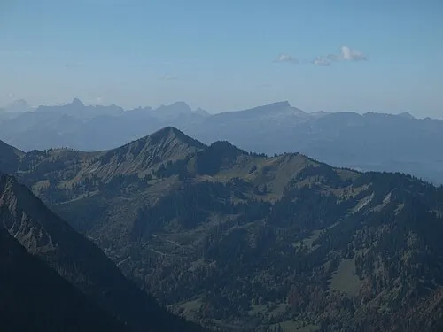 Schnippenkopf Mountain, Oberstdorf, Markt1.6 km N
-
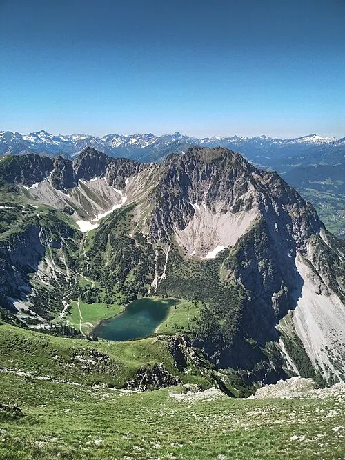 Rubihorn Mountain, Oberstdorf, Markt1.8 km SW
-
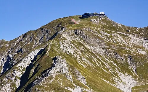 Nebelhorn Mountain, Oberstdorf, Markt1.9 km SE
-
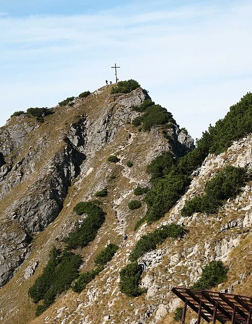 Geißalphorn Mountain, Oberstdorf, Markt2.1 km SW
-
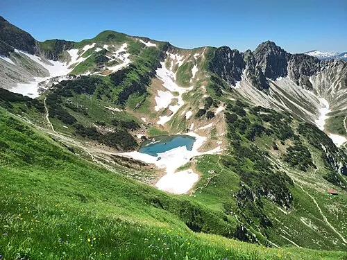 Gaißfuß Mountain, Oberstdorf, Markt2.1 km S
-
Heidelbeerkopf Mountain, Oberstdorf, Markt2.1 km N
-
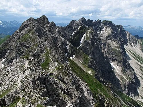 Wengenkopf Mountain, Bad Hindelang, M2.4 km SE
-
Gundkopf Mountain, Oberstdorf, Markt1.7 km S
More nature in Germany
-
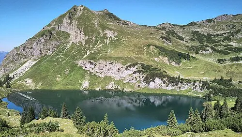 Seeköpfl Mountain, Oberstdorf, Markt4 km S
-
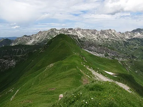 Kleiner Seekopf Mountain, Oberstdorf, Markt4.4 km SE
-
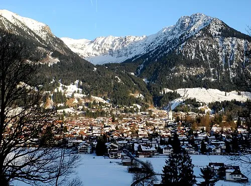 Schattenberg Mountain, Oberstdorf, Markt4 km S
-
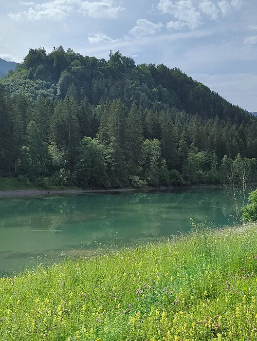 Burgberg Mountain, Oberstdorf, Markt3.8 km NW
-
 Vorder Riffenkopf Mountain, Oberstdorf, Markt6.1 km S
-
 Riffenkopf Mountain, Oberstdorf, Markt6.5 km S
Sources & licences
Data last updated: · 2 independent sources