Schärtenspitze
Located in Ramsau b.Berchtesgaden, Berchtesgadener Land Coordinates: 47°34′52″ N 12°52′28″ E
- Elevation
- 1,994 m
- above sea level
- Local time
- UTC+01:00
- Europe/Berlin · UTC+01:00
- Airports
- SZG Salzburg Airport26 km
- MUC Munich Airport118 km
About Schärtenspitze
Schärtenspitze is a mountain. Location: Ramsau b.Berchtesgaden, Berchtesgadener Land. Elevation: 1,994 m. The nearest airport is Salzburg Airport (26 km). Nearby sights include Wasserwandkopf and Steinberg.
Photos of Schärtenspitze
-
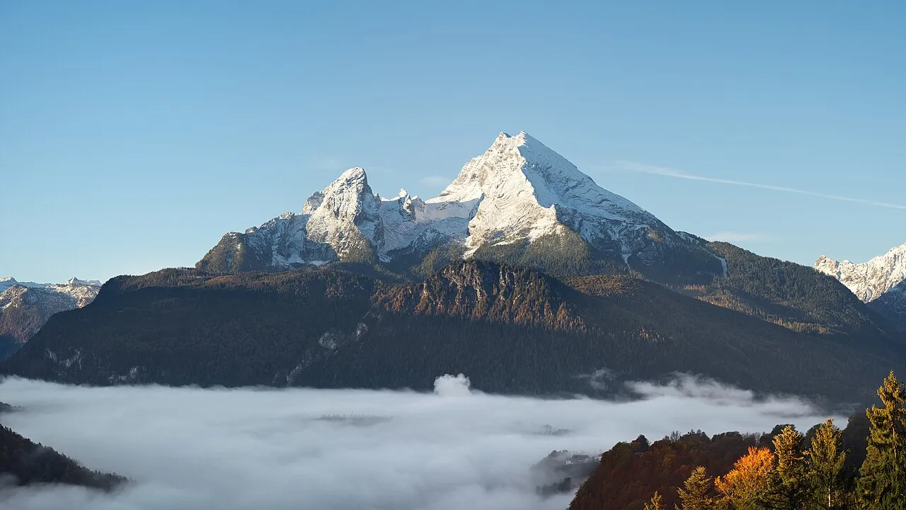
Watzmann Jörg Braukmann · CC BY-SA 4.0 -
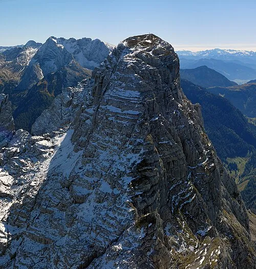
Stadelhorn Jörg Braukmann · CC BY-SA 4.0 -
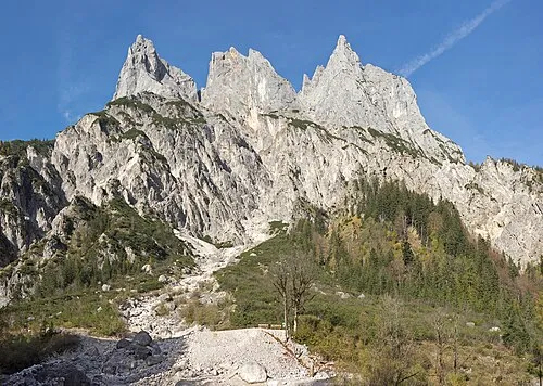
Mühlsturzhorn Jörg Braukmann · CC BY-SA 4.0 -
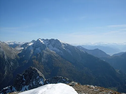
Hocheisspitze J. Braukmann Milseburg · CC BY-SA 3.0 -
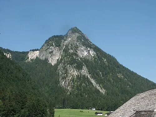
Grünstein Bernd Haynold · CC BY 2.5


Climate of Schärtenspitze
This month · November
A cold month
Day -1° · Night -7° · Rain 98 mm
- Hottest month
- July (day 13°)
- Coldest month
- January (night -11°)
- Wettest month
- July (188 mm)
- Driest month
- February (76 mm)
Bars: average monthly low and high temperature. Below: precipitation. Monthly averages for 1970–2000 at about 18 km resolution, adjusted for elevation. Highlighted months are mild and relatively dry. Source: WorldClim 2.1 (CC BY 4.0).
Show values as a table
| Month | Jan | Feb | Mar | Apr | May | Jun | Jul | Aug | Sep | Oct | Nov | Dec |
|---|---|---|---|---|---|---|---|---|---|---|---|---|
| Average high (°C) | -4° | -4° | -1° | 2° | 8° | 11° | 13° | 13° | 10° | 5° | -1° | -4° |
| Average low (°C) | -11° | -11° | -8° | -5° | -1° | 2° | 4° | 4° | 1° | -3° | -7° | -10° |
| Precipitation (mm) | 85 | 76 | 96 | 99 | 123 | 171 | 188 | 165 | 118 | 90 | 98 | 100 |
How to get to Schärtenspitze
The nearest airport is Salzburg Airport (SZG), 26 km to the north as the crow flies. The nearest large city is Salzburg, 27 km to the northeast.
Airports
- Salzburg Airport (SZG) Salzburg 26 kmnorth
- Munich Airport (MUC) Munich 118 kmnorthwest
- Innsbruck Airport (INN) Innsbruck 121 kmwest
Nearby large cities
- Salzburg Population: 157.2K 27 kmnortheast
- Munich Population: 1.5M 115 kmnorthwest
- Innsbruck Population: 132.5K 117 kmwest
- Linz Population: 204.8K 133 kmnortheast
- Klagenfurt Population: 100.3K 152 kmsoutheast
Straight-line distances; road distances are longer. Airport data: OurAirports.
Day trips from Schärtenspitze
Within 100 km: 254 historic and cultural sites, 4,008 natural sites, 1,180 lakes, rivers and coasts.
0–25 km475 places
- Wiesensee Lake 21 kmSW
- Piller See Lake 24 kmW
- Dießbachstausee Lake 9 kmSW
- Seehornsee Lake 8 kmS
25–60 km1,765 places
- Hoher Dachstein Mountain 56 kmE
- Frauenchiemsee Island 47 kmNW
- Herreninsel Island 47 kmNW
- Fürlegsee Lake 53 kmS
60–100 km3,202 places
- Sille River 95 kmS
- Vorderer Langtalsee Lake 65 kmS
- Seeriessee Lake 71 kmE
- Untersee Lake 60 kmSE
Straight-line distances.
Nearest towns and villages
-
 Hintersee Village, Ramsau b.Berchtesgaden3.2 km NW
-
Ramsau bei Berchtesgaden Village, Ramsau b.Berchtesgaden3.5 km NE
-
Ramsau Village, Ramsau b.Berchtesgaden4.4 km NE
-
Au Village, Ramsau b.Berchtesgaden3.4 km NE
-
Antenbichl Village, Ramsau b.Berchtesgaden3.6 km N
-
Taubensee Village, Ramsau b.Berchtesgaden3.9 km N
Nearby attractions & nature
Everything nearby-
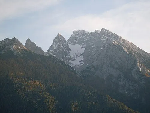 Wasserwandkopf Mountain, Ramsau b.Berchtesgaden1 km W
-
Steinberg Mountain, Ramsau b.Berchtesgaden0.7 km N
-
Schneelöcher Natural site, Bavaria0.7 km E
-
Blaueisspitze Mountain, Ramsau b.Berchtesgaden1.1 km S
-
Schottmal Höhe Mountain, Ramsau b.Berchtesgaden0.9 km SE
-
Stanglahner Kopf Mountain, Ramsau b.Berchtesgaden1.3 km E
-
Kleiner Kalter Mountain, Ramsau b.Berchtesgaden1.3 km SW
-
Blaueis Natural site, Bavaria1 km SW
More nature in Germany
-
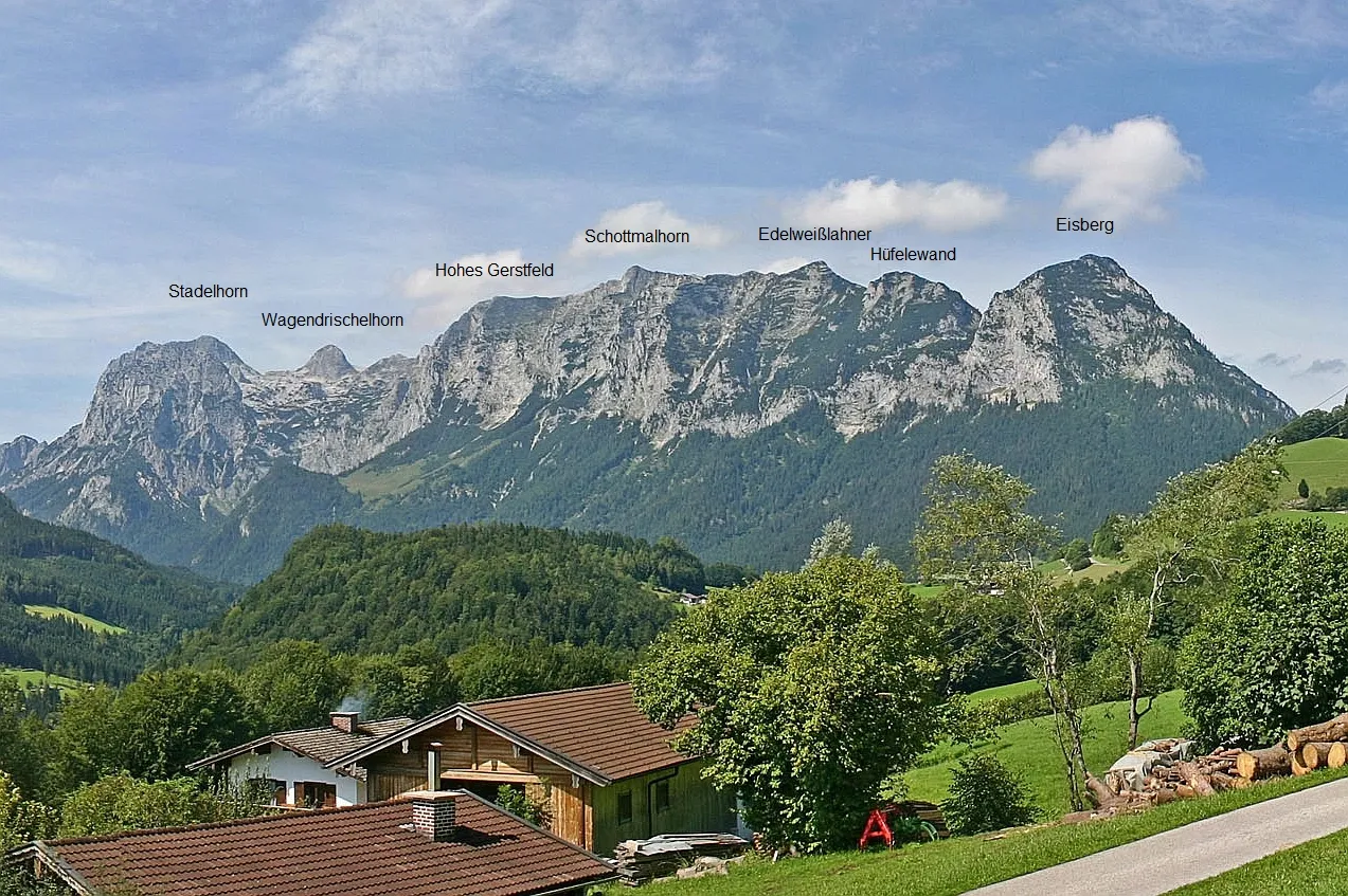 Edelweißlahner Kopf Mountain, Ramsau b.Berchtesgaden5 km NW
-
Hocheck Mountain, Ramsau b.Berchtesgaden1.9 km E
-
Ofentalhörnl Mountain, Ramsau b.Berchtesgaden2.3 km SW
-
Stadelhorn Mountain, Ramsau b.Berchtesgaden6.1 km W
-
Steintalhörndl Mountain, Ramsau b.Berchtesgaden2.8 km SW
-
Mühlsturzhorn Mountain, Ramsau b.Berchtesgaden5.7 km W
Sources & licences
Data last updated: · 2 independent sources