Ebenhorn
Located in Schönau am Königssee, Berchtesgadener Land Coordinates: 47°29′35″ N 12°58′30″ E
- Elevation
- 2,371 m
- above sea level
- Local time
- UTC+01:00
- Europe/Berlin · UTC+01:00
- Airports
- SZG Salzburg Airport33 km
- LNZ Linz-Hörsching Airport123 km
About Ebenhorn
Ebenhorn is a mountain. Location: Schönau am Königssee, Berchtesgadener Land. Elevation: 2,371 m. The nearest airport is Salzburg Airport (33 km). Nearby sights include Hochscheibe and Stuhljoch.
Photos of Ebenhorn
-
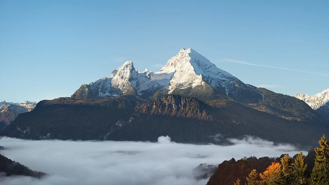
Watzmann Jörg Braukmann · CC BY-SA 4.0 -
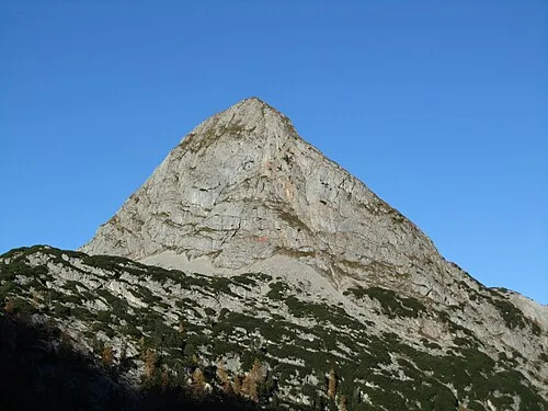
Viehkogel Jörg Braukmann Milseburg · CC BY-SA 3.0 -
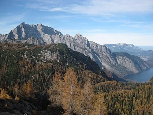
Simetsberg Thorsten Hartmann · CC BY-SA 3.0 -
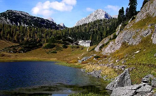
Schneiber No machine-readable author provided. Tobi Kellner~commonswiki assumed · Public domain -
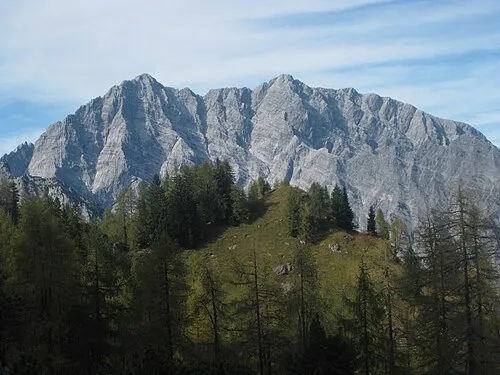
Hals Köpfl Thorsten Hartmann · CC BY-SA 3.0


Climate of Ebenhorn
This month · November
A cold month
Day -2° · Night -10° · Rain 96 mm
- Hottest month
- July (day 11°)
- Coldest month
- January (night -14°)
- Wettest month
- July (181 mm)
- Driest month
- February (70 mm)
Bars: average monthly low and high temperature. Below: precipitation. Monthly averages for 1970–2000 at about 18 km resolution, adjusted for elevation. Highlighted months are mild and relatively dry. Source: WorldClim 2.1 (CC BY 4.0).
Show values as a table
| Month | Jan | Feb | Mar | Apr | May | Jun | Jul | Aug | Sep | Oct | Nov | Dec |
|---|---|---|---|---|---|---|---|---|---|---|---|---|
| Average high (°C) | -6° | -6° | -3° | 1° | 6° | 9° | 11° | 11° | 8° | 4° | -2° | -5° |
| Average low (°C) | -14° | -13° | -11° | -8° | -3° | 0° | 2° | 2° | -1° | -5° | -10° | -13° |
| Precipitation (mm) | 78 | 70 | 90 | 95 | 117 | 164 | 181 | 159 | 117 | 92 | 96 | 93 |
How to get to Ebenhorn
The nearest airport is Salzburg Airport (SZG), 33 km to the north as the crow flies. The nearest large city is Salzburg, 34 km to the north.
Airports
- Salzburg Airport (SZG) Salzburg 33 kmnorth
- Linz-Hörsching Airport (LNZ) Linz 123 kmnortheast
- Innsbruck Airport (INN) Innsbruck 126 kmwest
Nearby large cities
- Salzburg Population: 157.2K 34 kmnorth
- Innsbruck Population: 132.5K 122 kmwest
- Munich Population: 1.5M 127 kmnorthwest
- Linz Population: 204.8K 133 kmnortheast
- Klagenfurt Population: 100.3K 140 kmsoutheast
Straight-line distances; road distances are longer. Airport data: OurAirports.
Day trips from Ebenhorn
Within 100 km: 250 historic and cultural sites, 4,101 natural sites, 1,191 lakes, rivers and coasts.
0–25 km449 places
- Lake Zell Lake 24 kmSW
- Dießbachstausee Lake 11 kmW
- Seehornsee Lake 11 kmW
- Bürgerberg Mountain 9 kmSW
25–60 km2,233 places
- Hoher Dachstein Mountain 48 kmE
- Frauenchiemsee Island 59 kmNW
- Herreninsel Island 59 kmNW
- Fürlegsee Lake 48 kmSW
60–100 km2,860 places
- Sille River 89 kmSW
- Seeriessee Lake 61 kmE
- Eissee Lake 65 kmSW
- Windhagersee Lake 98 kmE
Straight-line distances.
Nearest towns and villages
-
Saalfelden am Steinernen Meer Municipality, Zell am See District12 km SW
-
Schönau am Königssee Town, Schönau am Königssee12 km N
-
Werfen Municipality, St. Johann im Pongau District11 km E
-
Maria Alm am Steinernen Meer Municipality, Zell am See District11 km SW
-
Saalfelden am Steinernen Meer Town, Saalfelden am Steinernen Meer12 km SW
-
Dörfl Village, Schönau am Königssee8.2 km N
Nearby attractions & nature
Everything nearby-
Hochscheibe Mountain, Schönau am Königssee0.6 km S
-
Stuhljoch Mountain, Schönau am Königssee0.7 km SW
-
Kuhscheibe Mountain, Schönau am Königssee1 km N
-
Leiterhorn Mountain, Carinthia1.2 km SE
-
Feldkogel Mountain, Schönau am Königssee1.3 km W
-
Steinernes Meer Mountain, Austria1 km NW
-
Hals Köpfl Mountain, Schönau am Königssee2 km N
-
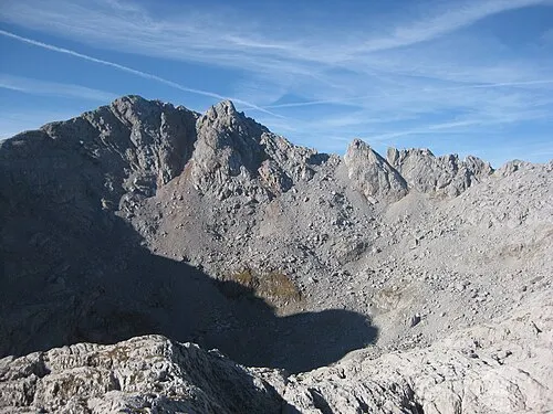 Grießkogel Mountain, Bavaria2 km S
More nature in Germany
-
Simetsberg Mountain, Schönau am Königssee3.2 km NW
-
Graskopf Mountain, Schönau am Königssee2.2 km SE
-
Glunkerer Mountain, Schönau am Königssee2.2 km W
-
Wildtorkopf Mountain, Schönau am Königssee3.3 km E
-
Rosentalhörnl Mountain, Schönau am Königssee3.3 km SE
-
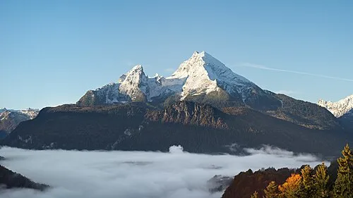 Watzmann Mountain, Schönau am Königssee7.9 km NW
Sources & licences
Data last updated: · 2 independent sources