Wildtorkopf
Located in Schönau am Königssee, Berchtesgadener Land Coordinates: 47°29′00″ N 13°01′00″ E
- Elevation
- 1,954 m
- above sea level
- Local time
- UTC+01:00
- Europe/Vienna · UTC+01:00
- Airports
- SZG Salzburg Airport34 km
- LNZ Linz-Hörsching Airport121 km
About Wildtorkopf
Wildtorkopf is a mountain. Location: Schönau am Königssee, Berchtesgadener Land. Elevation: 1,954 m. The nearest airport is Salzburg Airport (34 km). Nearby sights include Graskopf and Rosentalhörnl.
Photos of Wildtorkopf
-
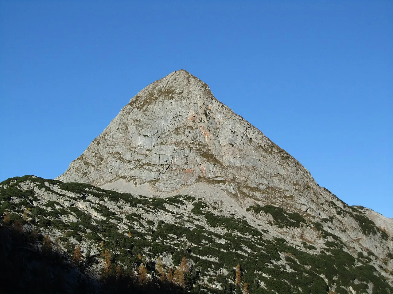
Viehkogel Jörg Braukmann Milseburg · CC BY-SA 3.0 -
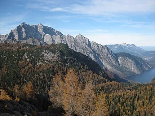
Simetsberg Thorsten Hartmann · CC BY-SA 3.0 -
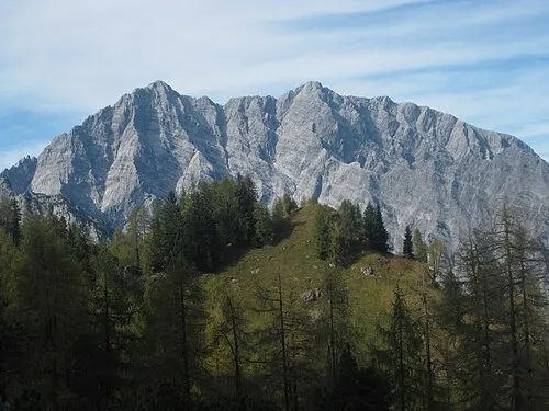
Hals Köpfl Thorsten Hartmann · CC BY-SA 3.0 -
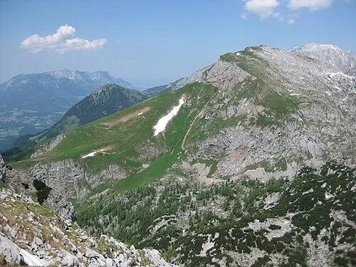
Fagstein Thorsten Hartmann · CC BY-SA 3.0 -
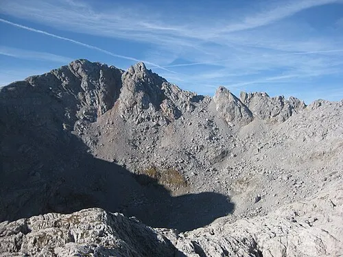
Grießkogel Thorsten Hartmann · CC BY-SA 3.0


Climate of Wildtorkopf
This month · November
A wet month
Day 0° · Night -7° · Rain 100 mm
- Hottest month
- July (day 14°)
- Coldest month
- January (night -11°)
- Wettest month
- July (186 mm)
- Driest month
- February (72 mm)
Bars: average monthly low and high temperature. Below: precipitation. Monthly averages for 1970–2000 at about 18 km resolution, adjusted for elevation. Highlighted months are mild and relatively dry. Source: WorldClim 2.1 (CC BY 4.0).
Show values as a table
| Month | Jan | Feb | Mar | Apr | May | Jun | Jul | Aug | Sep | Oct | Nov | Dec |
|---|---|---|---|---|---|---|---|---|---|---|---|---|
| Average high (°C) | -3° | -3° | 0° | 3° | 8° | 11° | 14° | 13° | 10° | 6° | 0° | -3° |
| Average low (°C) | -11° | -11° | -8° | -5° | -1° | 2° | 4° | 5° | 2° | -2° | -7° | -10° |
| Precipitation (mm) | 80 | 72 | 94 | 102 | 122 | 169 | 186 | 166 | 122 | 96 | 100 | 96 |
How to get to Wildtorkopf
The nearest airport is Salzburg Airport (SZG), 34 km to the north as the crow flies. The nearest large city is Salzburg, 35 km to the north.
Airports
- Salzburg Airport (SZG) Salzburg 34 kmnorth
- Linz-Hörsching Airport (LNZ) Linz 121 kmnortheast
- Innsbruck Airport (INN) Innsbruck 129 kmwest
Nearby large cities
- Salzburg Population: 157.2K 35 kmnorth
- Innsbruck Population: 132.5K 125 kmwest
- Munich Population: 1.5M 130 kmnorthwest
- Linz Population: 204.8K 132 kmnortheast
- Klagenfurt Population: 100.3K 137 kmsoutheast
Straight-line distances; road distances are longer. Airport data: OurAirports.
Day trips from Wildtorkopf
Within 100 km: 252 historic and cultural sites, 4,080 natural sites, 1,188 lakes, rivers and coasts.
0–25 km456 places
- Kleiner Paarsee Lake 23 kmS
- Großer Paarsee Lake 23 kmS
- Lake Zell Lake 25 kmSW
- Seewaldsee Lake 24 kmNE
25–60 km2,299 places
- Hoher Dachstein Mountain 44 kmE
- Fürlegsee Lake 49 kmSW
- Vorderer Langtalsee Lake 57 kmS
- Seeriessee Lake 57 kmE
60–100 km2,765 places
- Frauenchiemsee Island 62 kmNW
- Herreninsel Island 63 kmNW
- Klamm Natural site 98 kmE
- Sille River 90 kmSW
Straight-line distances.
Nearest towns and villages
-
Werfen Municipality, St. Johann im Pongau District7.9 km E
-
Golling an der Salzach Municipality, Hallein District12 km NE
-
Schönau am Königssee Town, Schönau am Königssee13 km N
-
Maria Alm am Steinernen Meer Municipality, Zell am See District12 km SW
-
Mühlbach am Hochkönig Municipality, St. Johann im Pongau District12 km SE
-
Hinterthal Village, Maria Alm am Steinernen Meer10 km S
Nearby attractions & nature
Everything nearby-
Graskopf Mountain, Schönau am Königssee1.3 km W
-
Rosentalhörnl Mountain, Schönau am Königssee1.3 km SW
-
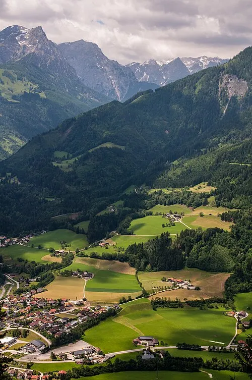 Reisshorn Mountain, Werfen2.2 km SE
-
Kleines Teufelshorn Mountain, Werfen1.3 km E
-
Großes Teufelshorn Mountain, Werfen1.3 km E
-
Alpriedlhorn Mountain, Maria Alm am Steinernen Meer1.9 km S
-
Neuhüttalm Historic site, Schönau am Königssee<0.1 km N
-
Eisgraben Natural site, Bavaria1.8 km NE
More nature in Germany
-
Hals Köpfl Mountain, Schönau am Königssee4.4 km NW
-
Bramersofen Kopf Mountain, Schönau am Königssee3.1 km NE
-
Hochfeld Köpfe Mountain, Schönau am Königssee3.1 km NE
-
Hochscheibe Mountain, Schönau am Königssee3.2 km W
-
Ebenhorn Mountain, Schönau am Königssee3.3 km W
-
Hochsäul Mountain, Schönau am Königssee3.6 km N
Sources & licences
Data last updated: · 2 independent sources