Himmelfahrtkirche
Located in Munich, Munich, Urban District Coordinates: 48°09′11″ N 11°27′19″ E
- Local time
- UTC+01:00
- Europe/Berlin · UTC+01:00
- Elevation
- 526 m
- above sea level
About Himmelfahrtkirche
Himmelfahrtkirche is a tourist attraction. Location: Munich, Munich, Urban District.
In comparison
- 95 sights and natural places within 10 km Pipping, kath. Filialkirche St. Wolfgang, Schloß Blutenburg
Nearby attractions & nature
Everything nearby-
Pipping, kath. Filialkirche St. Wolfgang Attraction, Munich0.4 km NE
-
Schloß Blutenburg Historic site, Munich1.1 km N
-
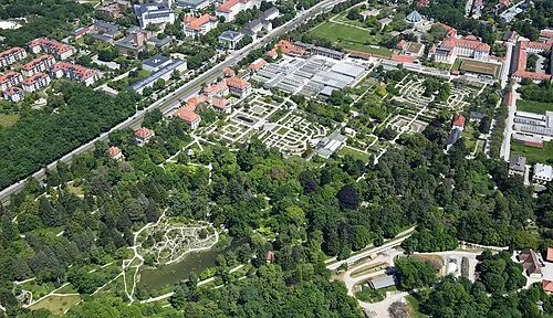 Botanischer Garten München-Nymphenburg Attraction, Munich3.6 km E
-
Obermenzing Nymphenburg Creek Natural site, Munich1.4 km E
-
St. Willibald-Kirche Attraction, Munich2.6 km SE
-
Untermenzing, Kirche St. Martin Attraction, Munich2.8 km N
-
München-Allach Concentration Camp (Porzellanmanufaktur) Historic site, Munich4.2 km N
-
St. Ulrich-Kirche Attraction, Munich3.6 km SE
Nearest towns and villages
More sights in Munich
-
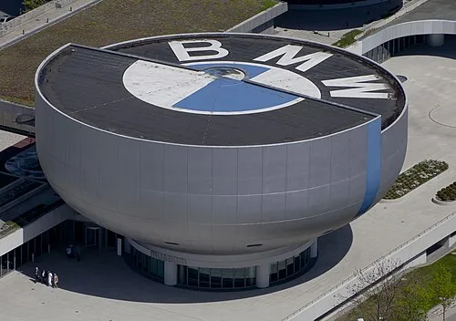 BMW Museum Museum, Munich8.2 km E
-
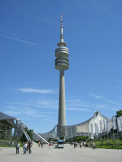 Olympia Tower Landmark, Munich7.7 km E
-
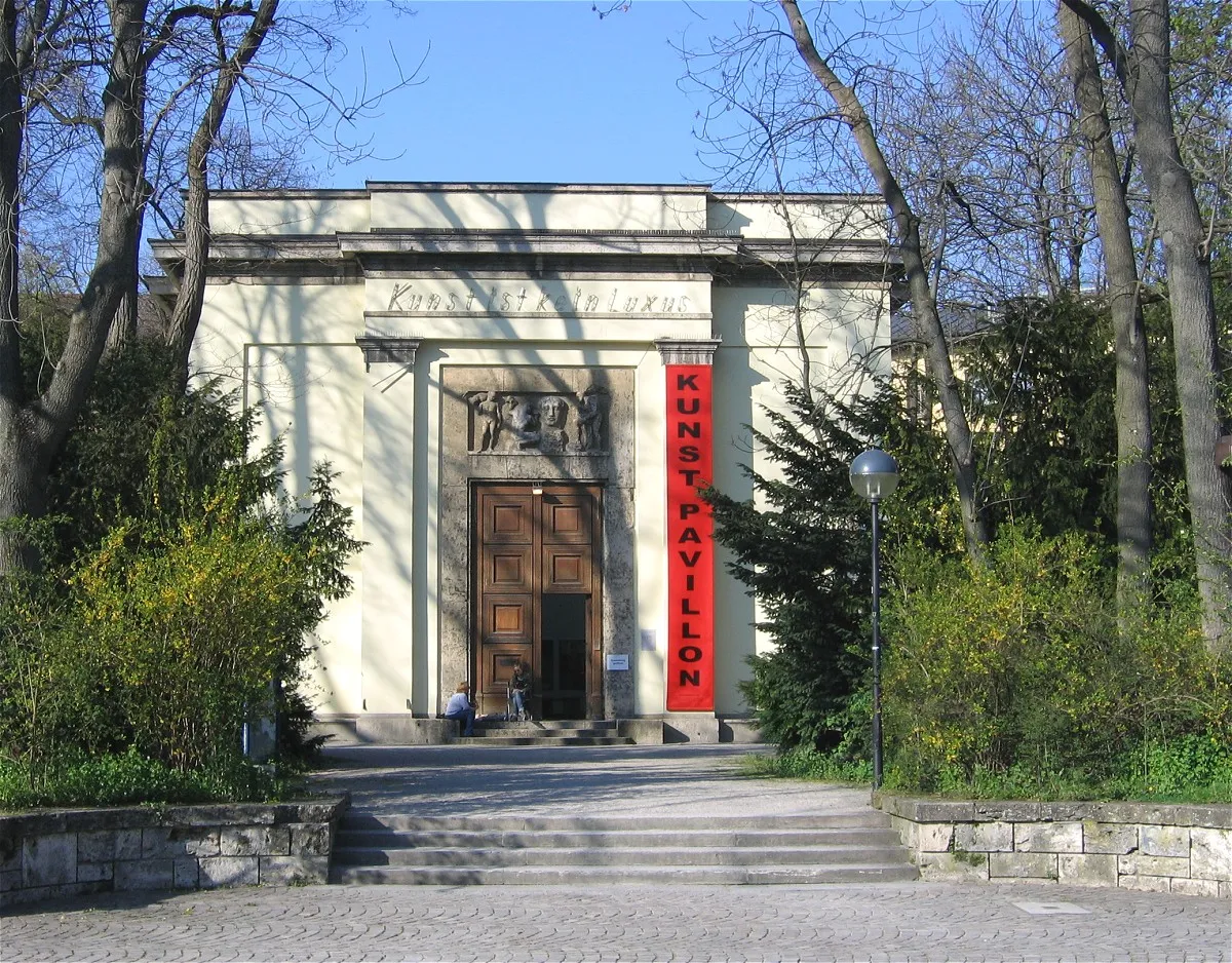 Alter Botanischer Garten Attraction, Munich8.2 km E
-
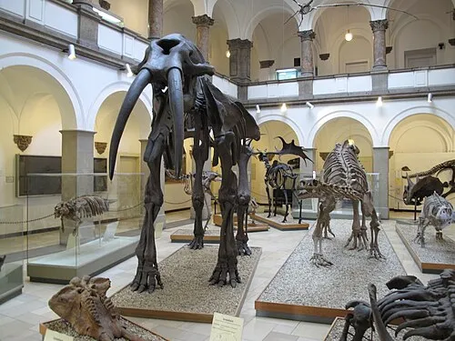 Paläontologisches Museum München Museum, Munich8.1 km E
-
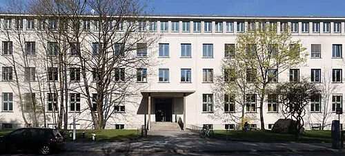 Geologisches Museum München Museum, Munich8.2 km E
-
Nymphenburg Palace Historic site, Munich3.6 km E
Sources & licences
Data last updated: