Furth
Located in Oberhaching, Munich Coordinates: 48°01′45″ N 11°35′47″ E
- Population
- 1,160
- 1.2K
- Elevation
- 570 m
- above sea level
- Local time
- UTC+01:00
- Europe/Berlin · UTC+01:00
About Furth
Furth is a village. Location: Oberhaching, Munich. Population: 1,160. Elevation: 570 m.
Furth is a part of Oberhaching, located in the Munich district of Bavaria, Germany. It lies at the junction of the Pegnitz and Rednitz rivers, where they form the Regnitz, and is first mentioned in written sources in 1172. The district of Furth borders in the north on the Perlacher Forst, in the south on the district of Deisenhofen (Oberhaching), in the west on the district of Grünwald and in the east on the district of Taufkirchen. Furth is well known for its excursion restaurant and beer garden Kugler Alm.
Read more on Wikipedia Text: Wikipedia contributors · CC BY-SA 4.0 · shortened
In comparison
- No. 3 of 6 places in Oberhaching by population
- Nearest larger town: Oberhaching, 1 km S
- 14 sights and natural places within 10 km Grünwalder Forst, Gleißental
Nearby attractions & nature
Everything nearby-
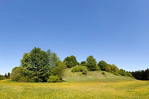 Perlacher Mugl Mountain, Unterhaching4.7 km N
-
Gleißental Natural site, Bavaria3.9 km SW
-
Grünwalder Forst Natural site, Bavaria3.3 km W
-
Deisenhofener Forst Natural site, Bavaria4.3 km S
-
Perlacher Forst Natural site, Bavaria4.5 km N
-
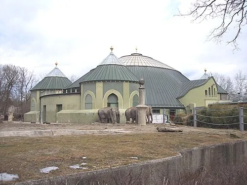 Hellabrunn Zoo Attraction, Munich8.3 km N
Sources & licences
Data last updated: · 2 independent sources