Muhrgraben
Located in Brandenburg, Germany Coordinates: 52°36′04″ N 13°09′14″ E
- Elevation
- 32 m
- above sea level
- Local time
- UTC+01:00
- Europe/Berlin · UTC+01:00
About Muhrgraben
Muhrgraben is a river. Location: Brandenburg, Germany.
In comparison
- 78 sights and natural places within 10 km Schönheide, Dammsmühle Concentration Camp
Nearest towns and villages
-
Schönwalde-Glien Village, Landkreis Havelland2.2 km NW
-
Hennigsdorf Village, Landkreis Oberhavel5.3 km NE
-
Falkensee Village, Landkreis Havelland5.7 km SW
-
Falkenhagener Feld Neighbourhood, Berlin5.6 km S
-
Konradshöhe Neighbourhood, Berlin5.3 km E
-
Heiligensee Neighbourhood, Berlin6.4 km E
Nearby attractions & nature
Everything nearby-
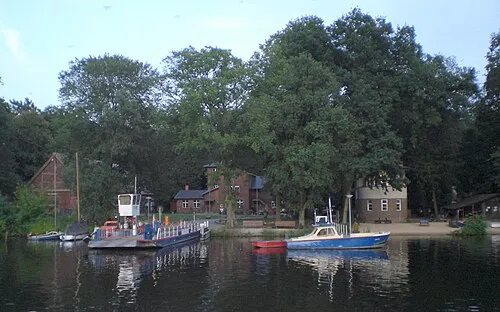 Scharfenberg Island, State of Berlin7 km SE
-
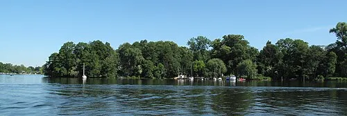 Valentinswerder Island, State of Berlin6.8 km SE
-
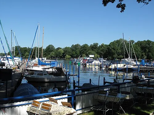 Maienwerder Island, State of Berlin7.1 km SE
-
Wansdorfer Unterheide Natural site, Brandenburg3.1 km NW
-
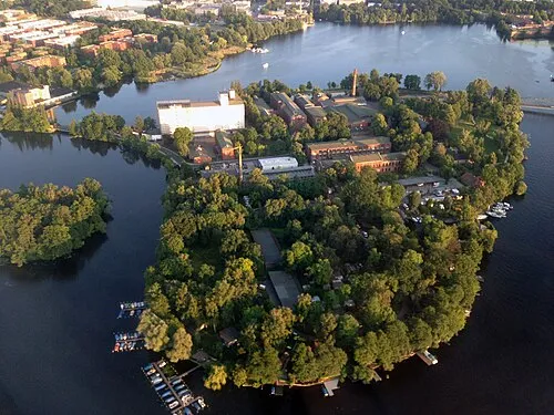 Eiswerder Island, State of Berlin7.3 km SE
-
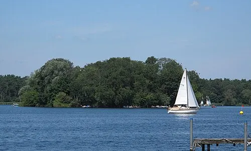 Lindwerder Island, State of Berlin7.2 km E
-
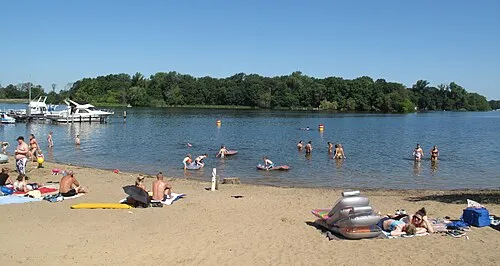 Baumwerder Island, State of Berlin7.3 km SE
-
Berliner Forst Spandau Natural site, State of Berlin3 km SE
Sources & licences
Data last updated: