Langenberg
Located in Hesse, Germany Coordinates: 51°16′34″ N 8°33′32″ E
- Elevation
- 843 m
- above sea level
- Local time
- UTC+01:00
- Europe/Berlin · UTC+01:00
About Langenberg
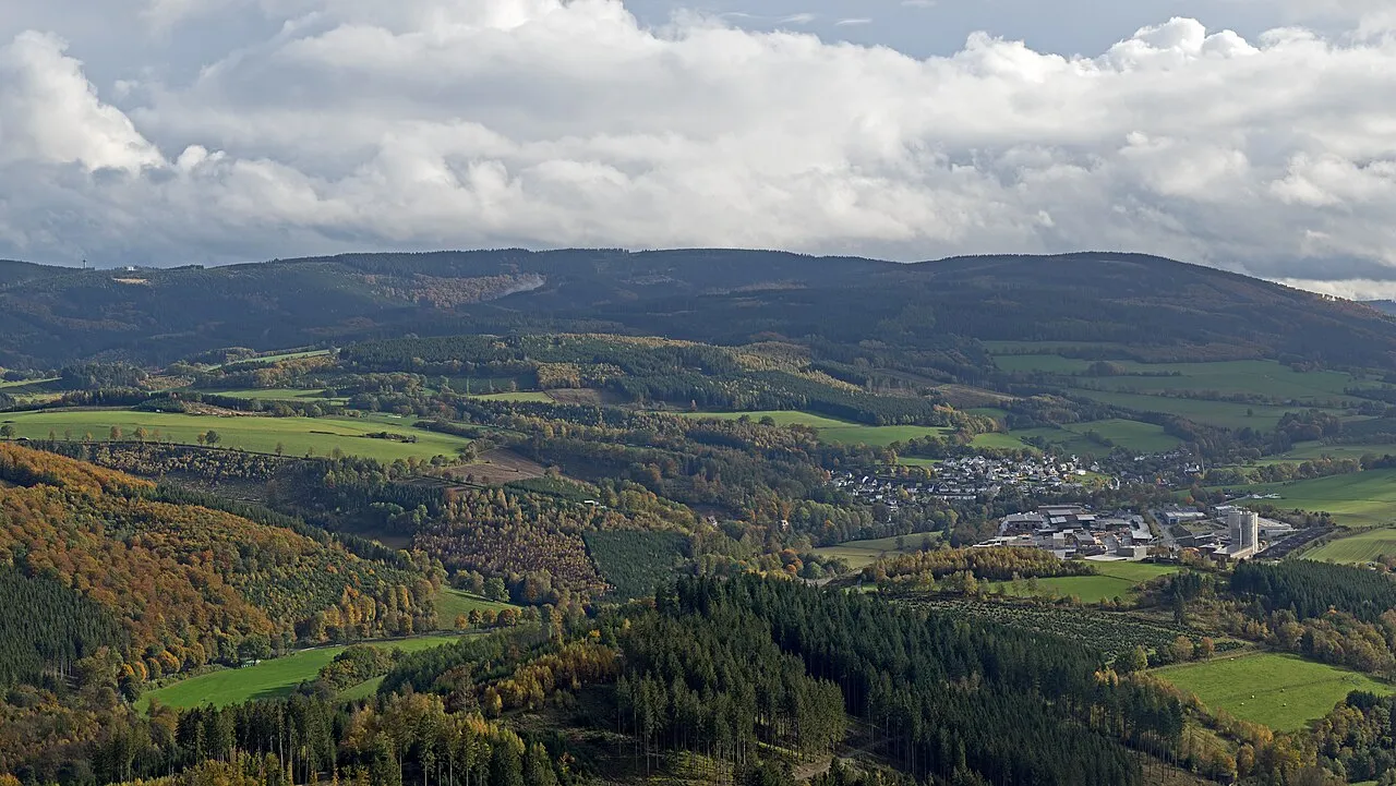
Langenberg is a mountain. Location: Hesse, Germany. Elevation: 843 m.
The Langenberg (German pronunciation: [ˈlaŋənbɛʁk] ) rises on the state border between North Rhine-Westphalia and Hesse in Germany and, at 843.2 m above sea level (NN), is the highest peak in the Rothaar mountain range, as well as the highest point in the North Rhine-Westphalia and also in the north of Germany outside the Harz Mountains.
Read more on Wikipedia Text: Wikipedia contributors · CC BY-SA 4.0 · shortened
At a glance
- Topographic prominence
- 557 m
Source: Wikidata
In comparison
- No. 2224 of 25787 mountains in Germany by elevation
- 98 sights and natural places within 10 km Rehhorn, Auf dem Sternrodt
Nearest towns and villages
-
Willingen (Upland) Village, Landkreis Waldeck-Frankenberg4.8 km NE
-
Winterberg Village, Hochsauerlandkreis5.6 km S
-
Willingen Town, Willingen (Upland)4 km NE
-
Niedersfeld Village, Winterberg2.6 km SW
-
Siedlinghausen Village, Winterberg6.6 km SW
-
Olsberg Village, Hochsauerlandkreis8.4 km NW
Nearby attractions & nature
Everything nearby-
Rehhorn Mountain, Olsberg1 km NW
-
Auf dem Sternrodt Mountain, Winterberg1.3 km W
-
Öhrenstein Mountain, Olsberg1.7 km W
-
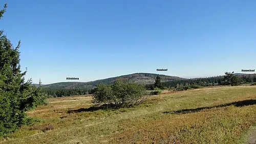 Hegekopf Mountain, Willingen (Upland)2.2 km E
-
Mittels-Berg Mountain, Willingen (Upland)1.7 km E
-
Bleieck Mountain, Olsberg2.4 km NW
-
Hoppern-Kopf Mountain, Brilon2.2 km NE
-
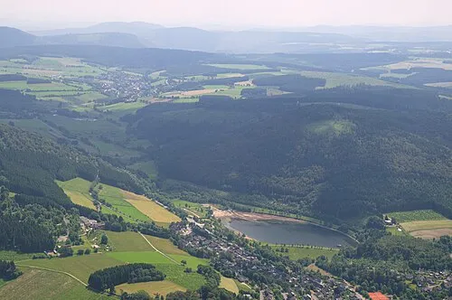 Rimberg Mountain, Winterberg3.6 km SW
More nature in Germany
-
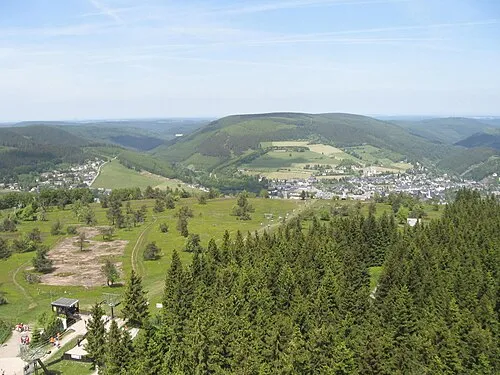 Hoher Eimberg Mountain, Willingen (Upland)4.9 km NE
-
Hohe Pön Mountain, Willingen (Upland)4.6 km E
-
Musenberg Mountain, Willingen (Upland)4.6 km E
-
Treiskopf Mountain, Willingen (Upland)6.5 km NE
-
 Osterkopf Mountain, Willingen (Upland)8 km E
-
Hermannsberg Mountain, Willingen (Upland)7.2 km NE
Sources & licences
Data last updated: · 2 independent sources