Willingen (Upland)
Located in Landkreis Waldeck-Frankenberg, Regierungsbezirk Kassel Coordinates: 51°18′00″ N 8°37′00″ E
- Population
- 5,672
- 5.7K
- Elevation
- 619 m
- above sea level
- Local time
- UTC+01:00
- Europe/Berlin · UTC+01:00
- Places inside
- 36
- listed under Willingen (Upland)
- Airports
- PAD Paderborn Lippstadt Airport35 km
- KSF Kassel Airport56 km
About Willingen (Upland)
Willingen (Upland) is a village. Location: Landkreis Waldeck-Frankenberg, Regierungsbezirk Kassel. Population: 5,672. Elevation: 619 m. The best months to visit are June–August. The nearest airport is Paderborn Lippstadt Airport (35 km). Nearby sights include Hoppern-Kopf and Rehkopf.
Photos of Willingen (Upland)
-
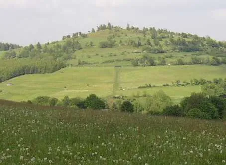
Osterkopf Schilling2001 · Public domain -
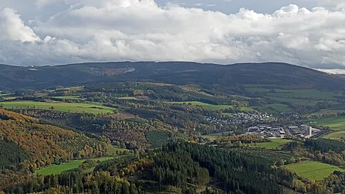
Langenberg Jörg Braukmann · CC BY-SA 4.0 -
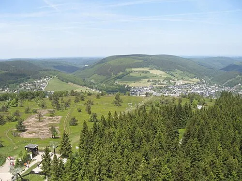
Hoher Eimberg Dirk Schmidt · CC BY-SA 3.0 -
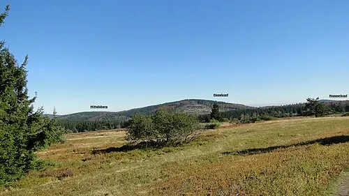
Hegekopf Sorpetaler07 · CC BY 3.0 -
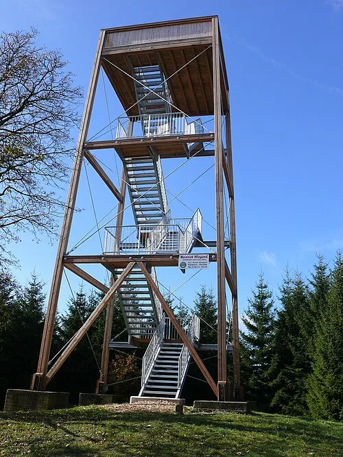
Dommel Nawi112 · CC BY-SA 3.0


Climate of Willingen (Upland)
Best months for sightseeingBest months for sightseeing: June–August.
This month · November
A wet month
Day 5° · Night 0° · Rain 118 mm
- Hottest month
- July (day 19°)
- Coldest month
- February (night -4°)
- Wettest month
- December (137 mm)
- Driest month
- August (82 mm)
Bars: average monthly low and high temperature. Below: precipitation. Monthly averages for 1970–2000 at about 18 km resolution, adjusted for elevation. Highlighted months are mild and relatively dry. Source: WorldClim 2.1 (CC BY 4.0).
Show values as a table
| Month | Jan | Feb | Mar | Apr | May | Jun | Jul | Aug | Sep | Oct | Nov | Dec |
|---|---|---|---|---|---|---|---|---|---|---|---|---|
| Average high (°C) | 2° | 2° | 5° | 9° | 15° | 17° | 19° | 19° | 15° | 11° | 5° | 3° |
| Average low (°C) | -3° | -4° | -1° | 1° | 5° | 8° | 10° | 10° | 7° | 4° | 0° | -2° |
| Precipitation (mm) | 133 | 93 | 113 | 87 | 86 | 95 | 101 | 82 | 97 | 102 | 118 | 137 |
How to get to Willingen (Upland)
The nearest airport is Paderborn Lippstadt Airport (PAD), 35 km to the north as the crow flies. The nearest large city is Paderborn, 48 km to the north.
Airports
- Paderborn Lippstadt Airport (PAD) Büren 35 kmnorth
- Kassel Airport (KSF) Calden 56 kmeast
- Dortmund Airport (DTM) Dortmund 74 kmwest
Nearby large cities
- Paderborn Population: 142.2K 48 kmnorth
- Kassel Population: 197.2K 62 kmeast
- Siegen Population: 107.2K 63 kmsouthwest
- Hamm Population: 179K 70 kmnorthwest
- Hagen Population: 199K 80 kmwest
Straight-line distances; road distances are longer. Airport data: OurAirports.
Day trips from Willingen (Upland)
Within 100 km: 319 historic and cultural sites, 4,433 natural sites, 809 lakes, rivers and coasts.
0–25 km593 places
- Valme River 17 kmNW
- Ogge River 12 kmSE
- Liese River 19 kmS
- Elpe River 16 kmNW
25–60 km2,013 places
- Wande River 37 kmE
- Erpe River 38 kmE
- Else River 53 kmW
- Ohe River 57 kmS
60–100 km2,955 places
- Else River 75 kmW
- Weibe River 70 kmSW
- Lumda River 73 kmS
- Felda River 74 kmSE
Straight-line distances.
Places in Willingen (Upland)
36 placesBar: population relative to the most populous place in this list.
Cities & villages9
- Bömighausen · Village
- Eimelrod · Village
- Hemmighausen · Village
- Neerdar · Village
- Rattlar · Village
- Schwalefeld · Village
- Stryck · Village
- Usseln · Village
- Welleringhausen · Village
Mountains & nature26
- Bockelau · Mountain
- Eideler Berg · Mountain
- Emmet · Mountain
- Ettels-Berg · Mountain
- Grotenberg · Mountain
- Hardt · Mountain
- Hegeberg · Mountain
- Hegekopf · Mountain
- Hegekopf · Mountain
- Hermannsberg · Mountain
- Hohe Pön · Mountain
- Hoher Eimberg · Mountain
- Lüerberg · Mountain
- Mittels-Berg · Mountain
- Mühlenberg · Mountain
- Musenberg · Mountain
- Ohrenberg · Mountain
- Osterkopf · Mountain
- Rothekopf · Mountain
- Sähre · Mountain
- Schetenkopf · Mountain
- Schneeberg · Mountain
- Sonder · Mountain
- Sonnenberg · Mountain
- Treiskopf · Mountain
- Werbelberg · Mountain
Nearby attractions & nature
Everything nearby-
Hoppern-Kopf Mountain, Brilon3 km W
-
Rehkopf Mountain, Brilon4 km NW
-
Langenberg Mountain, Hesse4.8 km SW
-
Dommel Mountain, Diemelsee5.1 km NE
-
Hömberg Mountain, Olsberg4.4 km W
-
Kreuzhabuche Mountain, Brilon4.6 km N
Other cities and towns in Landkreis Waldeck-Frankenberg
-
Diemelsee Village, Landkreis Waldeck-Frankenberg13 km NE
-
Deisfeld Village, Diemelsee8.1 km E
-
Ottlar Village, Diemelsee6.7 km NE
-
Benkhausen Village, Diemelsee13 km E
-
Stormbruch Village, Diemelsee7.8 km NE
-
 Adorf Village, Diemelsee15 km NE
Sources & licences
Data last updated: