Landkreis Waldeck-Frankenberg
Located in Regierungsbezirk Kassel, Hesse Coordinates: 51°12′26″ N 8°55′52″ E
- Population
- 155,126
- 155.1K
- Elevation
- 374 m
- above sea level
- Local time
- UTC+01:00
- Europe/Berlin · UTC+01:00
- Places inside
- 21
- listed under Landkreis Waldeck-Frankenberg
- Airports
- KSF Kassel Airport40 km
- PAD Paderborn Lippstadt Airport50 km
About Landkreis Waldeck-Frankenberg
Landkreis Waldeck-Frankenberg is a municipality. Location: Regierungsbezirk Kassel, Hesse. Population: 155,126. Elevation: 374 m. The best months to visit are June–August. The nearest airport is Kassel Airport (40 km). Nearby sights include Aselbach and Forst Vöhl.
Photos of Landkreis Waldeck-Frankenberg
-
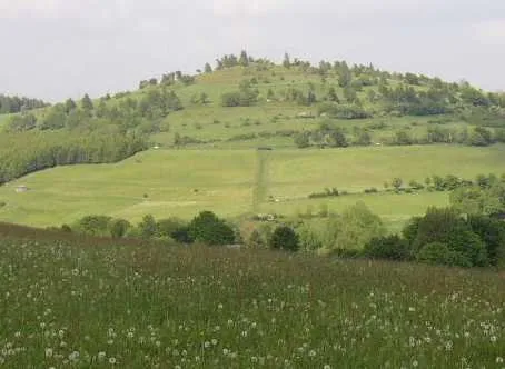
Osterkopf Schilling2001 · Public domain -
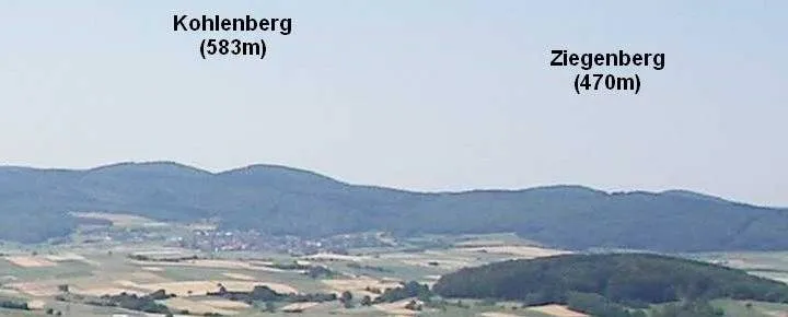
Kohlenberg Elop · CC BY-SA 3.0 -
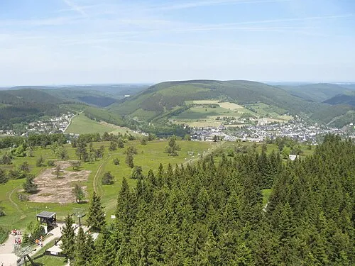
Hoher Eimberg Dirk Schmidt · CC BY-SA 3.0 -
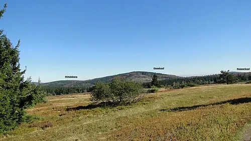
Hegekopf Sorpetaler07 · CC BY 3.0 -
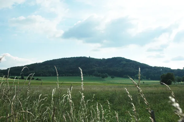
Eisenberg M. Ross · CC BY-SA 3.0


Climate of Landkreis Waldeck-Frankenberg
Best months for sightseeingBest months for sightseeing: June–August.
This month · November
A cold month
Day 6° · Night 1° · Rain 74 mm
- Hottest month
- August (day 22°)
- Coldest month
- February (night -3°)
- Wettest month
- December (82 mm)
- Driest month
- February (56 mm)
Bars: average monthly low and high temperature. Below: precipitation. Monthly averages for 1970–2000 at about 18 km resolution, adjusted for elevation. Highlighted months are mild and relatively dry. Source: WorldClim 2.1 (CC BY 4.0).
Show values as a table
| Month | Jan | Feb | Mar | Apr | May | Jun | Jul | Aug | Sep | Oct | Nov | Dec |
|---|---|---|---|---|---|---|---|---|---|---|---|---|
| Average high (°C) | 2° | 3° | 7° | 11° | 17° | 19° | 21° | 22° | 17° | 12° | 6° | 3° |
| Average low (°C) | -3° | -3° | -1° | 2° | 6° | 9° | 11° | 10° | 7° | 4° | 1° | -1° |
| Precipitation (mm) | 75 | 56 | 66 | 56 | 70 | 79 | 74 | 66 | 67 | 67 | 74 | 82 |
How to get to Landkreis Waldeck-Frankenberg
The nearest airport is Kassel Airport (KSF), 40 km to the northeast as the crow flies. The nearest large city is Kassel, 42 km to the east.
Airports
- Kassel Airport (KSF) Calden 40 kmnortheast
- Paderborn Lippstadt Airport (PAD) Büren 50 kmnorthwest
- Dortmund Airport (DTM) Dortmund 98 kmwest
Nearby large cities
- Kassel Population: 197.2K 42 kmeast
- Paderborn Population: 142.2K 58 kmnorth
- Siegen Population: 107.2K 74 kmsouthwest
- Göttingen Population: 122.1K 79 kmnortheast
- Hamm Population: 179K 93 kmnorthwest
Straight-line distances; road distances are longer. Airport data: OurAirports.
Day trips from Landkreis Waldeck-Frankenberg
Within 100 km: 322 historic and cultural sites, 5,192 natural sites, 788 lakes, rivers and coasts.
0–25 km558 places
- Ogge River 13 kmW
- Liese River 24 kmW
- Eder Stausee Lake 7 kmE
- Diemeltalsperre Lake 23 kmNW
25–60 km2,089 places
- Wande River 27 kmNE
- Erpe River 27 kmNE
- Valme River 41 kmNW
- Ohe River 49 kmS
60–100 km3,655 places
- Else River 98 kmW
- Else River 74 kmW
- Weibe River 83 kmSW
- Lumda River 65 kmS
Straight-line distances.
Landkreis Waldeck-Frankenberg and similar cities
Side by side with cities of similar size in the same country: population, elevation and climate.
| Measure | Landkreis Waldeck-Frankenberg | Neuss | Regensburg | Oldenburg |
|---|---|---|---|---|
| Population | 155.1K | 152.5K | 151.4K | 159.2K |
| Elevation | 374 m | 44 m | 341 m | 10 m |
| Summer day (hottest month) | 22° | 24° | 24° | 22° |
| Winter night (coldest month) | -3° | 1° | -4° | -1° |
| Annual rainfall | 832 mm | 788 mm | 656 mm | 742 mm |
| Best months | Jun–Aug | Jun–Sep | May–Sep | Jun–Aug |
| Distance | — | 157 km | 333 km | 221 km |
Climate values are 1970–2000 monthly averages; straight-line distance.
Places in Landkreis Waldeck-Frankenberg
21 places- 1 Korbach, Kreisstadt 22.9K
- 2 Frankenberg (Eder) 17.6K
- 3 Bad Wildungen 17.4K
- 4 Bad Arolsen 16K
- 5 Allendorf (Eder) 7.5K
- 6 Waldeck 6.9K
- 7 Volkmarsen 6.5K
- 8 Edertal 6.2K
- 9 Willingen (Upland) 5.7K
- 10 Vöhl 5.5K
- 11 Battenberg (Eder) 5.4K
- 12 Diemelstadt 5.2K
- 13 Burgwald 4.9K
- 14 Diemelsee 4.5K
- 15 Twistetal 4.2K
- 16 Lichtenfels 4.1K
- 17 Gemünden (Wohra) 3.6K
- 18 Haina (Kloster) 3.3K
- 19 Hatzfeld (Eder) 2.9K
- 20 Frankenau 2.8K
- 21 Rosenthal 2.1K
Bar: population relative to the most populous place in this list.
Nearby attractions & nature
Everything nearbySources & licences
Data last updated: