Adlersberg
Located in Lower Saxony, Germany Coordinates: 51°41′00″ N 10°25′00″ E
- Elevation
- 535 m
- above sea level
- Local time
- UTC+01:00
- Europe/Berlin · UTC+01:00
About Adlersberg
Adlersberg is a mountain. Location: Lower Saxony, Germany. Elevation: 535 m.
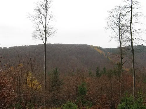
The Adlersberg is a hill in the Harz mountains of central Germany that lies south of Sieber in the district of Göttingen in Lower Saxony. It is 593.2 m high and is situated west of the Aschentalshalbe. It also separates the valley of Breitental ("wide valley") with its river, the Tiefenbeek, from the Langental ("long valley"). To the northwest the Adlersberg transitions to the Kloppstert and the Fissenkenkopf hills.
Read more on Wikipedia Text: Wikipedia contributors · CC BY-SA 4.0 · shortened
At a glance
- Topographic prominence
- 53 m
Source: Wikidata
In comparison
- No. 7205 of 25787 mountains in Germany by elevation
- 103 sights and natural places within 10 km Breitentalsberg, Höxterberg
Nearest towns and villages
-
Sieber Village, Herzberg am Harz1.9 km N
-
Lauenförde Village, Lower Saxony3 km SW
-
Bad Lauterberg im Harz Village, Landkreis Göttingen7.2 km SE
-
Würgassen Village, Lower Saxony3.7 km S
-
Herzberg am Harz Village, Landkreis Göttingen8.5 km SW
-
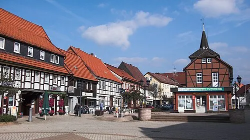 Herzberg am Harz Town, Herzberg am Harz6.2 km SW
Nearby attractions & nature
Everything nearby-
Höxterberg Mountain, Lower Saxony1.9 km S
-
Breitentalsberg Mountain, Lower Saxony1.2 km E
-
Übelsberg Mountain, Lower Saxony2.3 km E
-
Grimmberg Mountain, Lower Saxony2.2 km SW
-
Großer Knollen Mountain, Lower Saxony2 km SE
-
Langfast Mountain, Lower Saxony2.1 km NW
-
 Großer Teichtalskopf Mountain, Lower Saxony3.5 km W
-
Grafenforst Natural site, Lower Saxony2.2 km SW
Sources & licences
Data last updated: · 2 independent sources