Höxterberg
Located in Lower Saxony, Germany Coordinates: 51°40′00″ N 10°25′00″ E
- Elevation
- 522 m
- above sea level
- Local time
- UTC+01:00
- Europe/Berlin · UTC+01:00
About Höxterberg
Höxterberg is a mountain. Location: Lower Saxony, Germany. Elevation: 522 m.
The Höxterberg is a hill in the Harz Mountains of central Germany, that lies south of Sieber in the district of Göttingen in Lower Saxony. It is 584 metres high and lie 0.9 kilometres west of the Pagelsburg, 1.5 kilometres south of the Fissenkenkopf, 1.8 km west of the Großer Knollen and 1 kilometre north of the Mittelecke. The hill is mostly covered by beech woods. Towards the northwest the Höxterberg transitions into the Steile Wand.
Read more on Wikipedia Text: Wikipedia contributors · CC BY-SA 4.0 · shortened
At a glance
- Topographic prominence
- 84 m
Source: Wikidata
In comparison
- No. 7724 of 25787 mountains in Germany by elevation
- 92 sights and natural places within 10 km Kleiner Knollen, Großer Knollen
Nearest towns and villages
-
Würgassen Village, Lower Saxony1.9 km S
-
Bad Lauterberg im Harz Village, Landkreis Göttingen5.5 km SE
-
Lauenförde Village, Lower Saxony2.3 km W
-
Herzberg am Harz Village, Landkreis Göttingen7.3 km SW
-
Bad Lauterberg im Harz Town, Bad Lauterberg im Harz5.3 km SE
-
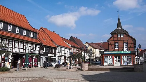 Herzberg am Harz Town, Herzberg am Harz5.5 km W
Nearby attractions & nature
Everything nearby-
Kleiner Knollen Mountain, Lower Saxony0.6 km S
-
Grimmberg Mountain, Lower Saxony1.2 km W
-
Großer Knollen Mountain, Lower Saxony0.8 km E
-
Adlersberg Mountain, Lower Saxony1.9 km N
-
Grafenforst Natural site, Lower Saxony1.2 km W
-
Brandkopf Mountain, Lower Saxony2.2 km SW
-
Eichelnkopf Mountain, Lower Saxony1.7 km SW
-
Übelsberg Mountain, Lower Saxony3 km NE
More nature in Germany
-
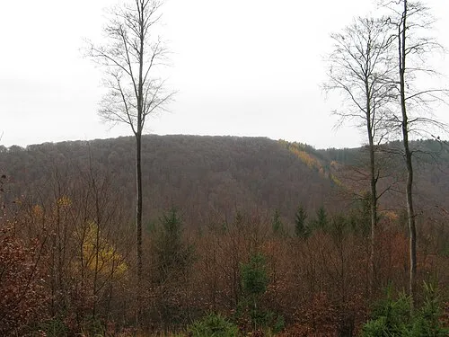 Großer Teichtalskopf Mountain, Lower Saxony3.9 km NW
-
Herbstberg Mountain, Lower Saxony2.8 km S
-
Wahrberg Mountain, Lower Saxony3 km SW
-
Mittelberg Mountain, Lower Saxony3.7 km SE
-
Frauenstein Mountain, Lower Saxony3.7 km S
-
Liedberg Mountain, Lower Saxony3.9 km S
Sources & licences
Data last updated: · 2 independent sources