Helmstedt (district)
Located in Lower Saxony, Germany Coordinates: 52°16′41″ N 10°54′30″ E
- Population
- 90,227
- 90.2K
- Elevation
- 142 m
- above sea level
- Local time
- UTC+01:00
- Europe/Berlin · UTC+01:00
- Places inside
- 24
- listed under Helmstedt (district)
About Helmstedt (district)
Helmstedt (district) is a municipality. Location: Lower Saxony, Germany. Population: 90,227. Elevation: 142 m.
In comparison
- No. 38 of 47 places in Lower Saxony by population
- Nearest larger town: Wolfsburg, 18 km NW
- 29 sights and natural places within 10 km Fuchsberg, Heineberg
- Listed here: Village: 23, Mountain: 1
Places in Helmstedt (district)
24 places-
Helmstedt Village25.1K
-
Königslutter am Elm Village15.4K
-
Lehre Village11.9K
-
Schöningen Village11.1K
-
Velpke Village4.9K
-
Groß Twülpstedt Village2.8K
-
Danndorf Village2.5K
-
Grasleben Village2.3K
-
Bahrdorf Village1.7K
-
Süpplingen Village1.7K
-
Söllingen Village1.5K
-
Jerxheim Village1K
-
Grafhorst Village1.1K
-
Mariental Village973
-
Wolsdorf Village925
-
Warberg Village790
-
Frellstedt Village832
-
Räbke Village788
-
Rennau Village728
-
Gevensleben Village605
-
Süpplingenburg Village642
-
Querenhorst Village495
-
Beierstedt Village363
-
Warberg Mountain
Nearby attractions & nature
Everything nearby-
Staatsforst Mariental Natural site, Lower Saxony4.2 km E
-
Forst Fallersleben Natural site, Lower Saxony4.6 km N
-
Steinberg Mountain, Lower Saxony5.2 km NE
-
Uhrau River, Lower Saxony5.9 km W
-
Der Schieren Natural site, Lower Saxony6.9 km S
-
Lelmer Forst Natural site, Lower Saxony7.1 km SW
-
Feuerberg Mountain, Oebisfelde-Weferlingen7.4 km E
-
Sundern Natural site, Lower Saxony8.9 km W
Other cities and towns in Lower Saxony
-
Kreisfreie Stadt Wolfsburg Municipality, Lower Saxony19 km NW
-
Königslutter am Elm Town, Königslutter am Elm6.9 km SW
-
Landkreis Wolfenbüttel Municipality, Lower Saxony22 km SW
-
Helmstedt Town, Helmstedt8.9 km SE
-
Kreisfreie Stadt Braunschweig Municipality, Lower Saxony25 km W
-
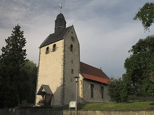 Cremlingen Town, Cremlingen18 km W
Sources & licences
Data last updated: