Norderney
Located in Landkreis Aurich, Lower Saxony Coordinates: 53°42′26″ N 7°08′49″ E
- Population
- 5,343
- 5.3K
- Elevation
- 6 m
- above sea level
- Local time
- UTC+01:00
- Europe/Berlin · UTC+01:00
- Places inside
- 8
- listed under Norderney
About Norderney
Norderney is a village. Location: Landkreis Aurich, Lower Saxony. Population: 5,343. Elevation: 6 m.
Norderney (German pronunciation: [ˌnɔʁdɐˈnaɪ] ; Low German: Nördernee) is one of the seven populated East Frisian Islands off the North Sea coast of Germany. The island is 14 by 2.5 kilometres (8.7 by 1.6 mi), having a total area of about 26.3 square kilometres (10.2 sq mi) and is therefore Germany's ninth-largest island. Norderney's population amounts to about 5,850 people. In 1946 Norderney gained municipal status and belongs to the Aurich "Kreis" (county).
Read more on Wikipedia Text: Wikipedia contributors · CC BY-SA 4.0 · shortened
At a glance
- Area
- 26.3 km²
Source: Wikidata
In comparison
- No. 11 of 24 places in Landkreis Aurich by population
- Nearest larger town: Norderney, 1 km E
- 11 sights and natural places within 10 km Westbad, Georgshöhe
- Listed here: Natural site: 3, Beach: 2, Neighbourhood: 1, Town: 1
Places in Norderney
8 places-
Norderney Town5.9K
-
Am Leuchtturm Village
-
Aussichtsdüne Natural site
-
Möwendüne Natural site
-
Nordstrand Beach
-
Ostbad Beach
-
Rattendüne Natural site
-
Siedlung Nordhelm Neighbourhood
Nearby attractions & nature
Everything nearby-
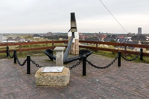 Georgshöhe Mountain, Lower Saxony1.1 km N
-
Westbad Beach, Lower Saxony0.8 km S
-
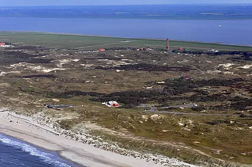 Möwendüne Natural site, Lower Saxony2.9 km E
-
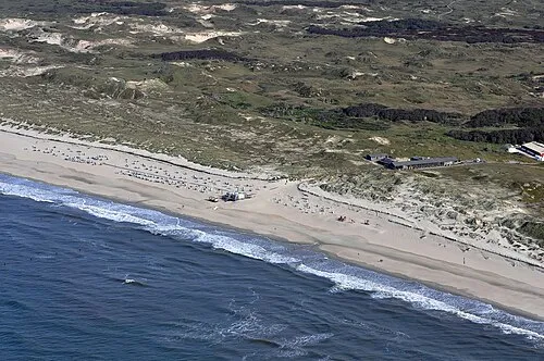 Weiße Düne Natural site, Lower Saxony4.5 km E
-
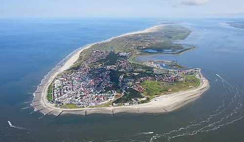 Norderney Island, Lower Saxony6.3 km E
-
Kalfamer Natural site, Juist4.9 km SW
Sources & licences
Data last updated: · 2 independent sources