Landkreis Cuxhaven
Located in Lower Saxony, Germany Coordinates: 53°36′10″ N 8°50′58″ E
- Population
- 198,842
- 198.8K
- Elevation
- 5 m
- above sea level
- Local time
- UTC+01:00
- Europe/Berlin · UTC+01:00
- Places inside
- 29
- listed under Landkreis Cuxhaven
About Landkreis Cuxhaven
Landkreis Cuxhaven is a municipality. Location: Lower Saxony, Germany. Population: 198,842. Elevation: 5 m.
In comparison
- No. 10 of 47 places in Lower Saxony by population
- Nearest larger town: Landkreis Stade, 37 km E
- 44 sights and natural places within 10 km Neue Falle, Galgenberg
- Listed here: Village: 29
Places in Landkreis Cuxhaven
29 places-
Cuxhaven Village49.7K
-
Geestland Village31.1K
-
Wurster Nordseeküste Village16.8K
-
Loxstedt Village16K
-
Schiffdorf Village14.6K
-
Beverstedt Village13.4K
-
Hagen im Bremischen Village10.7K
-
Hemmoor Village8.7K
-
Otterndorf Village7.5K
-
Cadenberge Village3.9K
-
Hechthausen Village3.7K
-
Lamstedt Village3.3K
-
Wingst Village3.3K
-
Wanna Village2.2K
-
Osten Village1.7K
-
Ihlienworth Village1.5K
-
Oberndorf Village1.4K
-
Neuenkirchen Village1.3K
-
Neuhaus (Oste), Flecken Village1.1K
-
Nordleda Village950
-
Hollnseth Village844
-
Bülkau Village824
-
Steinau Village803
-
Belum Village782
-
Armstorf Village689
-
Mittelstenahe Village580
-
Stinstedt Village519
-
Osterbruch Village467
-
Odisheim Village461
Nearby attractions & nature
Everything nearby-
Hohe Falle Natural site, Lower Saxony2.7 km S
-
Obere Wittgeeste River, Lower Saxony2.8 km S
-
Bederkesaer See Lake, Lower Saxony2.9 km N
-
Kührstedter Holz Natural site, Lower Saxony4.4 km W
-
Holzurburg Natural site, Lower Saxony4.5 km N
-
Schnee Natural site, Lower Saxony5.4 km W
-
Schweinesöhle Natural site, Lower Saxony5.5 km W
-
Kiefhorst Natural site, Lower Saxony5.7 km W
Other cities and towns in Lower Saxony
-
Landkreis Stade Municipality, Lower Saxony37 km E
-
Landkreis Osterholz Municipality, Lower Saxony38 km S
-
Schiffdorf Town, Schiffdorf15 km SW
-
Langen Town, Geestland17 km W
-
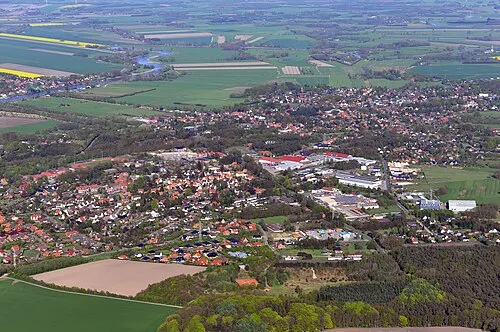 Hemmoor Town, Hemmoor22 km NE
-
Landkreis Wesermarsch Municipality, Lower Saxony44 km SW
Sources & licences
Data last updated: