Meinolfushalle
Located in Lower Saxony, Germany Coordinates: 51°46′39″ N 9°11′30″ E
- Local time
- UTC+01:00
- Europe/Berlin · UTC+01:00
- Elevation
- 185 m
- above sea level
About Meinolfushalle
Meinolfushalle is a tourist attraction. Location: Lower Saxony, Germany.
In comparison
- 74 sights and natural places within 10 km Meinolfuskirche, Horst-D.-Krus-Denkmal
Nearby attractions & nature
Everything nearby-
Meinolfuskirche Attraction, Lower Saxony0.1 km SW
-
Horst-D.-Krus-Denkmal Landmark, Lower Saxony0.1 km S
-
Rammelsberg Mountain, Lower Saxony0.9 km E
-
Bökerberg Mountain, Lower Saxony1.8 km E
-
Kneppen Mountain, Lower Saxony2.8 km SW
-
Kapenberg II Mountain, Lower Saxony2.8 km SE
-
Schmandberg Mountain, Brakel2.1 km SW
-
Masterholz Natural site, North Rhine-Westphalia1.8 km W
Nearest towns and villages
-
Bellersen Village, Brakel0.2 km S
-
Marienmünster Village, Kreis Höxter5.6 km NE
-
Nieheim Village, Kreis Höxter5.8 km NW
-
Bökendorf Village, Brakel2.1 km SE
More sights in Lower Saxony
-
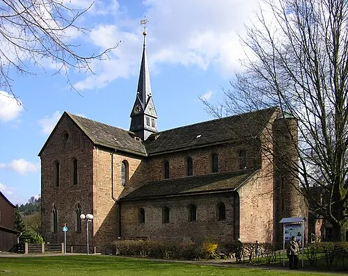 Kloster Kemnade Attraction, Bodenwerder32 km NE
-
Holzen bei Eschershausen Concentration Camp (Hecht) Historic site, Holzen37 km NE
-
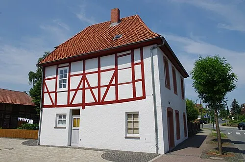 Early Camp Moringen Historic site, Moringen48 km E
-
Amelungsborn Kloster Attraction, Negenborn31 km NE
-
Uslar Stadtkirche St. Johannis Attraction, Uslar33 km SE
-
Ruine Lauenburg Historic site, Heyen33 km NE
Sources & licences
Data last updated: