Early Camp Moringen
Located in Moringen, Landkreis Northeim Coordinates: 51°42′03″ N 9°52′18″ E
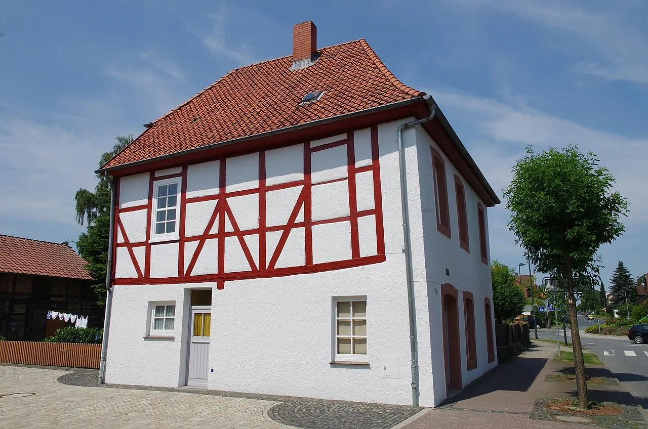
- Local time
- UTC+01:00
- Europe/Berlin · UTC+01:00
- Elevation
- 179 m
- above sea level
- Airports
- KSF Kassel Airport46 km
- HAJ Hannover Airport86 km
About Early Camp Moringen
Early Camp Moringen is a historic site. Location: Moringen, Landkreis Northeim.
Three concentration camps operated in succession in Moringen, Lower Saxony, from April 1933 to April 1945. KZ Moringen, established in the centre of the town on site of former 19th century workhouses (German: Landeswerkhäuser), originally housed mostly male political inmates. From November 1933 to March 1938 Moringen housed a women's concentration camp; from June 1940 to April 1945 a juvenile prison. A total of 4,300 people were prisoners of Moringen; an estimated ten percent of them died in the camp.
Source: Wikipedia · CC BY-SA 4.0
Climate of Early Camp Moringen
Best months for sightseeingBest months for sightseeing: June–August.
This month · November
A cold month
Day 7° · Night 2° · Rain 59 mm
- Hottest month
- August (day 22°)
- Coldest month
- February (night -2°)
- Wettest month
- June (69 mm)
- Driest month
- February (46 mm)
Bars: average monthly low and high temperature. Below: precipitation. Monthly averages for 1970–2000 at about 18 km resolution, adjusted for elevation. Highlighted months are mild and relatively dry. Source: WorldClim 2.1 (CC BY 4.0).
Show values as a table
| Month | Jan | Feb | Mar | Apr | May | Jun | Jul | Aug | Sep | Oct | Nov | Dec |
|---|---|---|---|---|---|---|---|---|---|---|---|---|
| Average high (°C) | 3° | 4° | 8° | 12° | 18° | 20° | 22° | 22° | 18° | 13° | 7° | 4° |
| Average low (°C) | -2° | -2° | 1° | 3° | 7° | 10° | 12° | 12° | 9° | 5° | 2° | 0° |
| Precipitation (mm) | 61 | 46 | 55 | 47 | 63 | 69 | 66 | 63 | 54 | 51 | 59 | 66 |
How to get to Early Camp Moringen
The nearest airport is Kassel Airport (KSF), 46 km to the southwest as the crow flies. The nearest large city is Göttingen, 19 km to the south.
Airports
- Kassel Airport (KSF) Calden 46 kmsouthwest
- Hannover Airport (HAJ) Hannover 86 kmnorth
- Paderborn Lippstadt Airport (PAD) Büren 87 kmwest
Nearby large cities
- Göttingen Population: 122.1K 19 kmsouth
- Kassel Population: 197.2K 50 kmsouthwest
- Salzgitter Population: 105K 63 kmnortheast
- Hanover Population: 515.1K 75 kmnorth
- Paderborn Population: 142.2K 77 kmwest
Straight-line distances; road distances are longer. Airport data: OurAirports.
Day trips from Early Camp Moringen
Within 100 km: 429 historic and cultural sites, 4,595 natural sites, 847 lakes, rivers and coasts.
0–25 km413 places
- Zwersberg Mountain 21 kmSW
- Ziegenberg Mountain 20 kmE
- Ziegenberg Mountain 3 kmE
- Weper Mountain 4 kmW
25–60 km2,028 places
- Schalk River 41 kmE
- Ohe River 54 kmN
- Naure River 59 kmW
- Frieda River 60 kmS
60–100 km3,430 places
- Wande River 61 kmSW
- Erpe River 61 kmSW
- Ogge River 94 kmSW
- Grimke River 79 kmW
Straight-line distances.
Nearby attractions & nature
Everything nearby-
KZ Moringen Historic site, Moringen<0.1 km W
-
Böllenberg Mountain, Moringen3 km NE
-
Hohe Rodt Mountain, Moringen2.5 km SW
-
Südlieth Mountain, Moringen3.6 km N
-
Ziegenberg Mountain, Moringen3.1 km E
-
Ducksteinberg Mountain, Moringen3.9 km N
-
Scheerenberg Mountain, Northeim3.7 km SE
-
Hundeberg Mountain, Northeim4.7 km SE
Nearest towns and villages

Sources & licences
Data last updated: · 2 independent sources