Barsinghausen
Located in Region Hannover, Lower Saxony Coordinates: 52°18′38″ N 9°27′22″ E
- Population
- 33,941
- 33.9K
- Elevation
- 96 m
- above sea level
- Local time
- UTC+01:00
- Europe/Berlin · UTC+01:00
- Places inside
- 20
- listed under Barsinghausen
About Barsinghausen
Barsinghausen is a village. Location: Region Hannover, Lower Saxony. Population: 33,941. Elevation: 96 m.
Barsinghausen (German pronunciation: [ˌbaʁzɪŋˈhaʊzn̩] ) is a town in the district of Hanover, in Lower Saxony, Germany. It is situated at the Deister chain of hills approx. 20 km west of Hanover. Barsinghausen belongs to the historic landscape Calenberg Land and was first mentioned in 1193.
Read more on Wikipedia Text: Wikipedia contributors · CC BY-SA 4.0 · shortened
At a glance
- Area
- 103 km²
Source: Wikidata
In comparison
- No. 9 of 21 places in Region Hannover by population
- Nearest larger town: Wunstorf, 13 km N
- 30 sights and natural places within 10 km Barsinghausener Forst, Klosterforst Wennigsen
- Listed here: Village: 17, Town: 2, Mountain: 1
Places in Barsinghausen
20 places-
Barsinghausen Town14.2K
-
Egestorf Town8K
-
Großgoltern Village1.3K
-
Groß Munzel Village1.2K
-
Langreder Village1K
-
Bantorf Village
-
Barrigsen Village
-
Eckerde Village
-
Göxe Village
-
Hohenbostel Village
-
Holtensen bei Wunstorf Village
-
Kirchdorf Village
-
Landringhausen Village
-
Luttringhausen Village
-
Nordgoltern Village
-
Ostermunzel Village
-
Stemmen Village
-
Stemmer Berg Mountain
-
Wichtringhausen Village
-
Winninghausen Village
Nearby attractions & nature
Everything nearby-
Barsinghausener Forst Natural site, Lower Saxony1.2 km S
-
Klosterforst Wennigsen Natural site, Lower Saxony3.1 km S
-
Strutzberg Mountain, Bad Nenndorf4.4 km W
-
Egge Mountain, Lauenau, Flecken3.8 km SW
-
Fernmeldeturm Barsinghausen Landmark, Lauenau, Flecken3.9 km SW
-
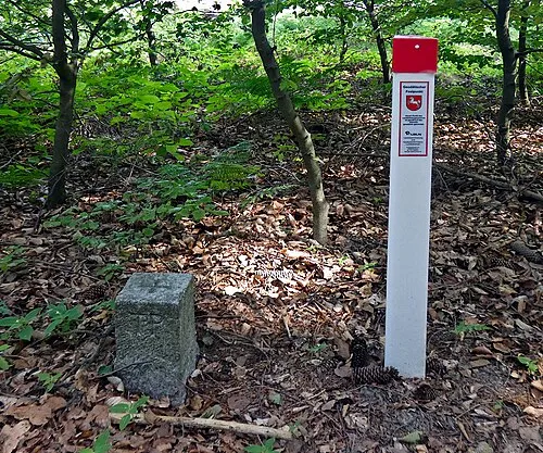 Hohe Warte Mountain, Springe6.3 km S
Sources & licences
Data last updated: · 2 independent sources