Gehrden
Located in Region Hannover, Lower Saxony Coordinates: 52°18′40″ N 9°36′18″ E
- Population
- 15,301
- 15.3K
- Elevation
- 74 m
- above sea level
- Local time
- UTC+01:00
- Europe/Berlin · UTC+01:00
- Places inside
- 14
- listed under Gehrden
About Gehrden
Gehrden is a village. Location: Region Hannover, Lower Saxony. Population: 15,301. Elevation: 74 m.
Gehrden (German pronunciation: [ˈɡeːɐ̯dn̩] ) is a town in the district of Hanover, in Lower Saxony, Germany. It is situated approximately 10 km (6.21 mi) southwest of Hanover and next to the recreation area Deister.
Read more on Wikipedia Text: Wikipedia contributors · CC BY-SA 4.0 · shortened
At a glance
- Area
- 43.2 km²
Source: Wikidata
In comparison
- No. 19 of 21 places in Region Hannover by population
- Nearest larger town: Ronnenberg, 4 km E
- 29 sights and natural places within 10 km Burgberg, Sürser Berg
- Listed here: Village: 8, Mountain: 4, Landmark: 1, Town: 1
Places in Gehrden
14 places-
Gehrden Town15K
-
Benthe Village
-
Benther Berg Mountain
-
Burgberg Mountain
-
Ditterke Village
-
Everloh Village
-
Kniggenberg Mountain
-
Lemmie Village
-
Lenthe Village
-
Leveste Village
-
Magnus Denkmal Landmark
-
Northen Village
-
Redderse Village
-
Sürser Berg Mountain
Nearby attractions & nature
Everything nearby-
Gipsberg Mountain, Ronnenberg4.2 km E
-
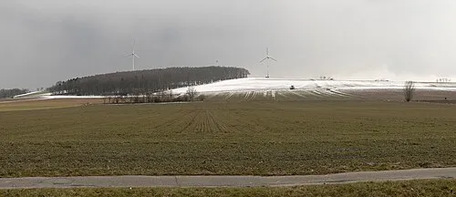 Vörier Berg Mountain, Wennigsen (Deister)6.3 km SE
-
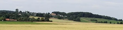 Wolfsberg Mountain, Ronnenberg6.5 km SE
-
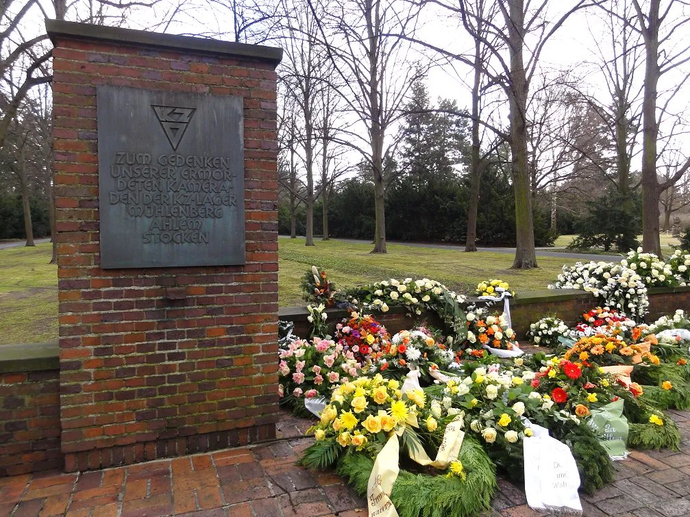 Hannover-Mühlenberg Concentration Camp Historic site, Hanover6.9 km NE
-
Tönniesberg Mountain, Hanover7.8 km NE
-
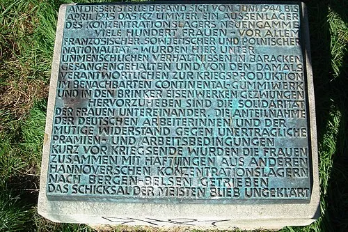 Hannover-Limmer Concentration Camp Historic site, Hanover9.2 km NE
Sources & licences
Data last updated: · 2 independent sources