- Elevation
- 156 m
- above sea level
- Local time
- UTC+01:00
- Europe/Berlin · UTC+01:00
- Airports
- HAJ Hannover Airport18 km
- BRE Bremen Airport98 km
About Burgberg
Burgberg is a mountain. Location: Gehrden, Region Hannover. Elevation: 156 m. The best months to visit are June–August. The nearest airport is Hannover Airport (18 km). Nearby sights include Sürser Berg and Kniggenberg.
Photos of Burgberg
-
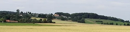
Wolfsberg Den man tau · CC BY-SA 3.0 -
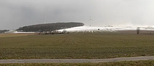
Vörier Berg Nifoto · CC BY 3.0 -
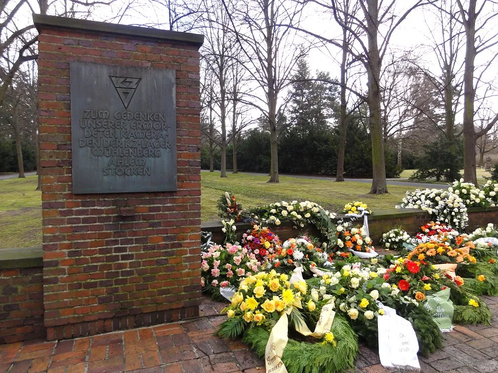
Hannover-Mühlenberg Concentration Camp Railweh10 · CC BY-SA 3.0


Climate of Burgberg
Best months for sightseeingBest months for sightseeing: June–August.
This month · November
A cold month
Day 7° · Night 2° · Rain 60 mm
- Hottest month
- August (day 22°)
- Coldest month
- February (night -2°)
- Wettest month
- June (74 mm)
- Driest month
- February (46 mm)
Bars: average monthly low and high temperature. Below: precipitation. Monthly averages for 1970–2000 at about 18 km resolution, adjusted for elevation. Highlighted months are mild and relatively dry. Source: WorldClim 2.1 (CC BY 4.0).
Show values as a table
| Month | Jan | Feb | Mar | Apr | May | Jun | Jul | Aug | Sep | Oct | Nov | Dec |
|---|---|---|---|---|---|---|---|---|---|---|---|---|
| Average high (°C) | 4° | 4° | 8° | 12° | 18° | 20° | 22° | 22° | 18° | 13° | 7° | 5° |
| Average low (°C) | -1° | -2° | 1° | 3° | 7° | 10° | 12° | 12° | 9° | 6° | 2° | 0° |
| Precipitation (mm) | 63 | 46 | 60 | 50 | 59 | 74 | 69 | 67 | 61 | 56 | 60 | 72 |
How to get to Burgberg
The nearest airport is Hannover Airport (HAJ), 18 km to the north as the crow flies. The nearest large city is Hanover, 12 km to the northeast.
Airports
- Hannover Airport (HAJ) Hannover 18 kmnorth
- Bremen Airport (BRE) Bremen 98 kmnorthwest
- Kassel Airport (KSF) Calden 101 kmsouth
Nearby large cities
- Hanover Population: 515.1K 12 kmnortheast
- Salzgitter Population: 105K 59 kmeast
- Braunschweig Population: 244.7K 64 kmeast
- Bielefeld Population: 331.9K 79 kmsouthwest
- Wolfsburg Population: 123.1K 82 kmeast
Straight-line distances; road distances are longer. Airport data: OurAirports.
Day trips from Burgberg
Within 100 km: 325 historic and cultural sites, 3,332 natural sites, 789 lakes, rivers and coasts.
0–25 km245 places
- Ohe River 18 kmSE
- Badeinsel Island 23 kmNW
- Lake Steinhude Lake 25 kmNW
- Rothenküler Teich Lake 15 kmNW
25–60 km1,255 places
- Sundern Natural site 56 kmN
- Wiehe River 58 kmNE
- Leine River 45 kmN
- Bergsee Oberlübbe Lake 59 kmW
60–100 km2,946 places
- Warnau River 63 kmN
- Schalk River 79 kmSE
- Naure River 96 kmS
- Grimke River 84 kmSW
Straight-line distances.
Nearest towns and villages
-
Gehrden Town, Gehrden1 km E
-
Wennigsen (Deister) Village, Region Hannover4.5 km S
-
 Ronnenberg Village, Region Hannover5.4 km E
-
 Leveste Village, Gehrden2.3 km W
-
Ditterke Village, Gehrden2.2 km N
-
Redderse Village, Gehrden2.2 km SW
Nearby attractions & nature
Everything nearby-
Sürser Berg Mountain, Gehrden1.8 km S
-
Kniggenberg Mountain, Gehrden2.4 km S
-
Magnus Denkmal Landmark, Gehrden1.7 km NW
-
Benther Berg Mountain, Gehrden3.9 km NE
-
Vörier Berg Mountain, Wennigsen (Deister)7.3 km SE
-
Wolfsberg Mountain, Ronnenberg7.7 km SE
-
Stemmer Berg Mountain, Barsinghausen5.3 km NW
-
Gipsberg Mountain, Ronnenberg5.5 km E
Sources & licences
Data last updated: