Garbsen
Located in Region Hannover, Lower Saxony Coordinates: 52°26′07″ N 9°36′40″ E
- Population
- 59,903
- 59.9K
- Elevation
- 57 m
- above sea level
- Local time
- UTC+01:00
- Europe/Berlin · UTC+01:00
- Places inside
- 20
- listed under Garbsen
About Garbsen
Garbsen is a village. Location: Region Hannover, Lower Saxony. Population: 59,903. Elevation: 57 m.
Garbsen (German pronunciation: [ˈɡaʁpsn̩] ) is a town in the district of Hanover, in Lower Saxony, Germany. It is situated on the river Leine, approximately 11 kilometres (6.8 mi) northwest of Hanover. The name Garbsen can be traced back to 1223. Today's 13 city districts have partly developed independently until the city of Garbsen was formed within its current boundaries during the regional reform in 1974.
Read more on Wikipedia Text: Wikipedia contributors · CC BY-SA 4.0 · shortened
At a glance
- Area
- 79.5 km²
Source: Wikidata
In comparison
- No. 2 of 21 places in Region Hannover by population
- Nearest larger town: Garbsen, 2 km S
- 29 sights and natural places within 10 km Berenbosteler See, Roßbruchgraben
- Listed here: Village: 11, Neighbourhood: 4, Lake: 2, Landmark: 1
Places in Garbsen
20 places-
Garbsen Town63.4K
-
Garbsen-Mitte Neighbourhood7.5K
-
Auf der Horst Neighbourhood7K
-
Berenbostel Village
-
Berenbosteler See Lake
-
Blauer See Lake
-
Frielingen Village
-
Havelse Village
-
Heitlingen Village
-
Horst Village
-
Klingenberg Neighbourhood
-
Leistlingen Neighbourhood
-
Meyenfeld Village
-
NDB-Funkfeuer HW Landmark
-
Osterwald (Garbsen) Village
-
Osterwald Oberende Village
-
Osterwald Unterende Village
-
Schloß Ricklingen Village
-
Stelingen Village
Nearby attractions & nature
Everything nearby-
Roßbruchgraben River, Hanover2.9 km SE
-
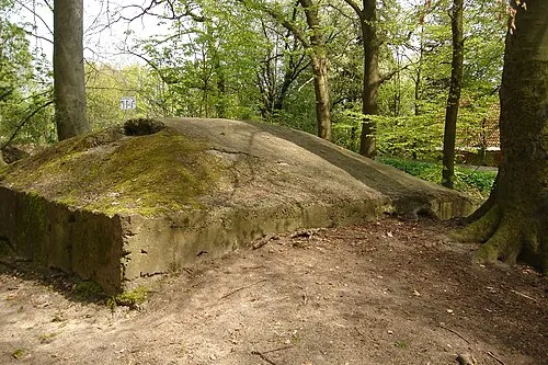 Hannover-Stöcken Concentration Camp (AkkumuIatorenwerke) Historic site, Hanover4 km SE
-
Hannover-Stöcken Concentration Camp (Continental) Historic site, Hanover4 km SE
-
Mecklenheide Natural site, Hanover4.5 km E
-
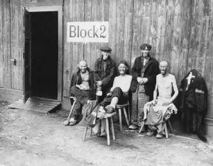 Hannover-Ahlem Concentration Camp (Döbel, A 12) Historic site, Hanover6.7 km SE
-
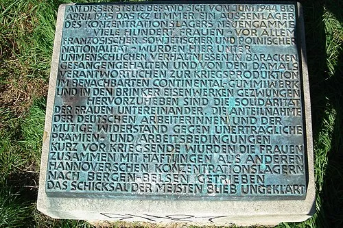 Hannover-Limmer Concentration Camp Historic site, Hanover8.1 km SE
Sources & licences
Data last updated: · 2 independent sources