Engelbostel
Located in Langenhagen, Region Hannover Coordinates: 52°26′49″ N 9°39′42″ E
- Elevation
- 54 m
- above sea level
- Local time
- UTC+01:00
- Europe/Berlin · UTC+01:00
About Engelbostel
Engelbostel is a village. Location: Langenhagen, Region Hannover. Elevation: 54 m.
Engelbostel is a district of the city of Langenhagen in the Hanover region. It was independent until 1974 when the village was incorporated into Langenhagen. The town is located southwest of the Hannover-Langenhagen airport. To the east is Schulenburg, and to the west are the town of Garbsen and the villages of Berenbostel and Stelingen.
Read more on Wikipedia Text: Wikipedia contributors · CC BY-SA 4.0 · shortened
At a glance
- Area
- 14.3 km²
Source: Wikidata
In comparison
- Nearest larger town: Garbsen, 4 km W
- 38 sights and natural places within 10 km Mecklenheide, Hannover-Stöcken Concentration Camp (AkkumuIatorenwerke)
Nearby attractions & nature
Everything nearby-
Mecklenheide Natural site, Hanover2.5 km S
-
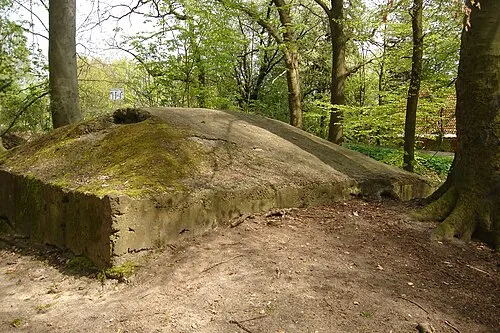 Hannover-Stöcken Concentration Camp (AkkumuIatorenwerke) Historic site, Hanover3.3 km S
-
Hannover-Stöcken Concentration Camp (Continental) Historic site, Hanover3.3 km S
-
Naturschutzgebiet Kananohe Natural site, Langenhagen4.1 km N
-
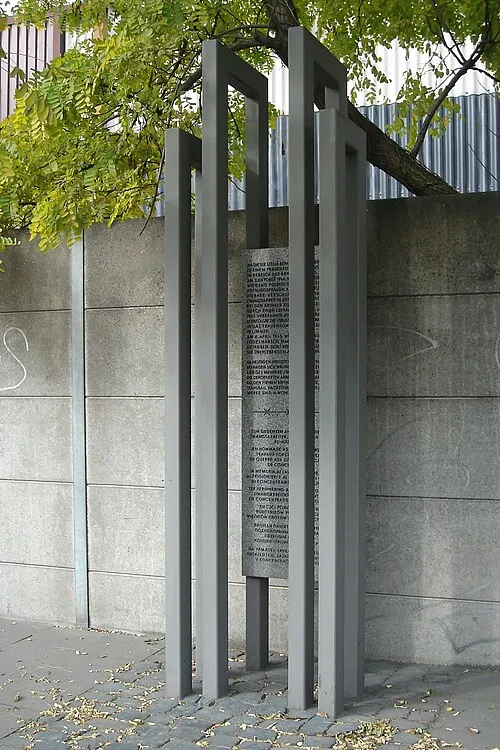 Hannover-Langenhagen Concentration Camp Historic site, Langenhagen5.7 km E
-
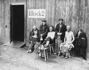 Hannover-Ahlem Concentration Camp (Döbel, A 12) Historic site, Hanover6.9 km S
Sources & licences
Data last updated: · 2 independent sources