Forst Erndtebrück
Located in North Rhine-Westphalia, Germany Coordinates: 50°57′43″ N 8°12′52″ E
- Elevation
- 643 m
- above sea level
- Local time
- UTC+01:00
- Europe/Berlin · UTC+01:00
About Forst Erndtebrück
Forst Erndtebrück is a natural site. Location: North Rhine-Westphalia, Germany.
In comparison
- 97 sights and natural places within 10 km Schmale Scheid, Ahornsberg
Airports nearest to Forst Erndtebrück
- Dortmund Airport (DTM) Dortmund 75 km
- Cologne Bonn Airport (CGN) Köln (Cologne) 76 km
- Paderborn Lippstadt Airport (PAD) Büren 78 km
Straight-line distance; airports with scheduled flights only. Source: OurAirports (public domain).
Nearest towns and villages
-
Kreis Siegen-Wittgenstein Municipality, Regierungsbezirk Arnsberg2.2 km NE
-
Erndtebrück Village, Kreis Siegen-Wittgenstein4.4 km NE
-
Erndtebrück Town, Erndtebrück4.1 km NE
-
Hilchenbach Village, Kreis Siegen-Wittgenstein8 km W
-
Lützel Village, Hilchenbach3 km W
-
Benfe Village, Erndtebrück3.7 km SE
Nearby attractions & nature
Everything nearby-
Schmale Scheid Mountain, Erndtebrück0.5 km SE
-
Ahornsberg Mountain, Erndtebrück0.7 km N
-
Seebach Mountain, Erndtebrück1 km E
-
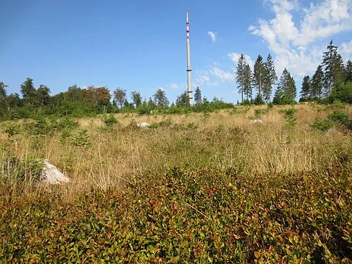 Oberste Henn Mountain, Netphen2 km S
-
Kühlberg Mountain, Hilchenbach1.7 km SW
-
Ederkopf Mountain, Netphen2.4 km S
-
Graberg Mountain, Erndtebrück2.1 km E
-
Dicker Rücken Mountain, Hilchenbach2.3 km W
More nature in Germany
-
Jagdberg Mountain, Erndtebrück2.7 km S
-
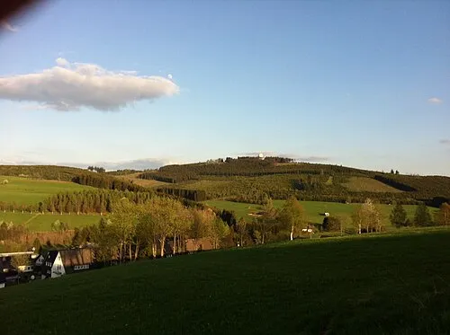 Ebschloh Mountain, Erndtebrück4.1 km E
-
Pfaffenhain Mountain, Hilchenbach3.6 km W
-
Weibelskopf Mountain, Bad Laasphe3.7 km SE
-
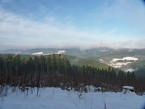 Alte Burg Mountain, Netphen5.2 km SW
-
Gickelsberg Mountain, Erndtebrück3.1 km NE
Sources & licences
Data last updated: