Kreis Siegen-Wittgenstein
Located in Regierungsbezirk Arnsberg, North Rhine-Westphalia Coordinates: 50°58′28″ N 8°14′23″ E
- Population
- 274,074
- 274.1K
- Elevation
- 616 m
- above sea level
- Local time
- UTC+01:00
- Europe/Berlin · UTC+01:00
- Places inside
- 11
- listed under Kreis Siegen-Wittgenstein
- Airports
- DTM Dortmund Airport75 km
- PAD Paderborn Lippstadt Airport76 km
About Kreis Siegen-Wittgenstein
Kreis Siegen-Wittgenstein is a municipality. Location: Regierungsbezirk Arnsberg, North Rhine-Westphalia. Population: 274,074. Elevation: 616 m. The best months to visit are June–August. The nearest airport is Dortmund Airport (75 km). Nearby sights include Forst Erndtebrück and Benfe River.
Photos of Kreis Siegen-Wittgenstein
-
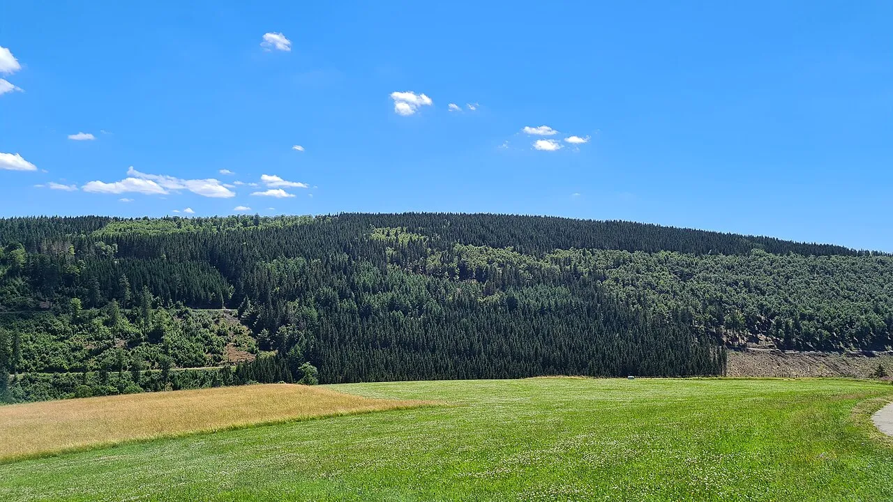
Zwistberg Mollseifer · CC BY-SA 4.0 -
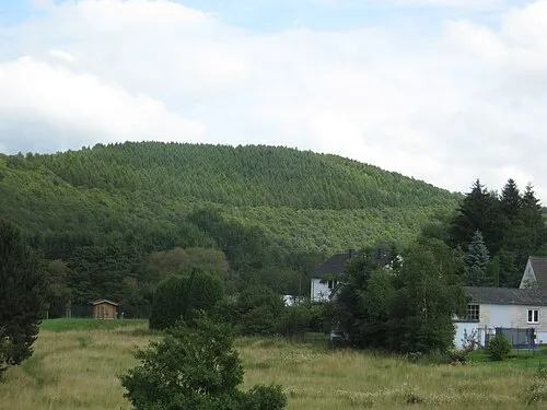
Simrich Dbawwsnrw · CC BY 3.0 -
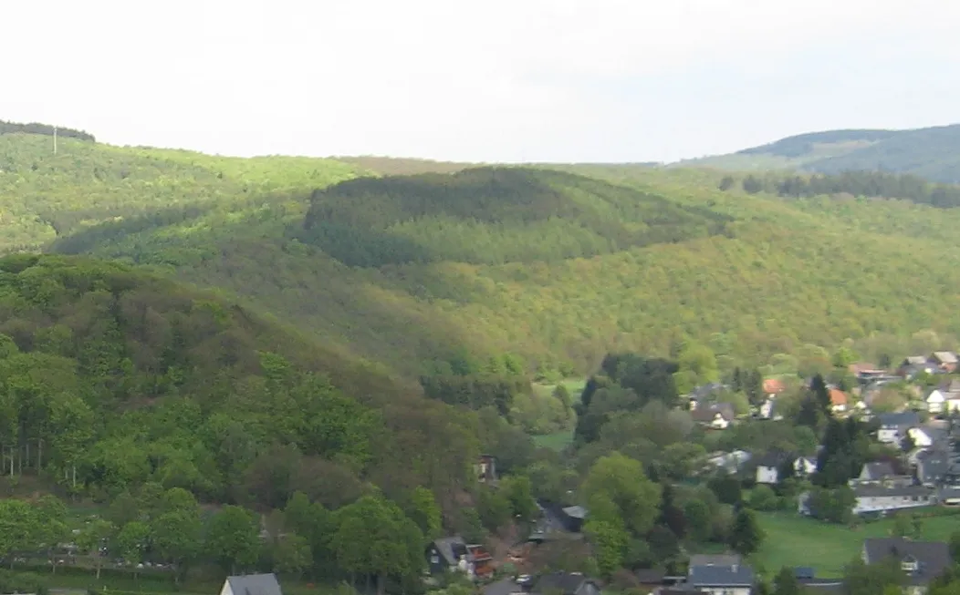
Simberg Dbawwsnrw · CC BY 3.0 -
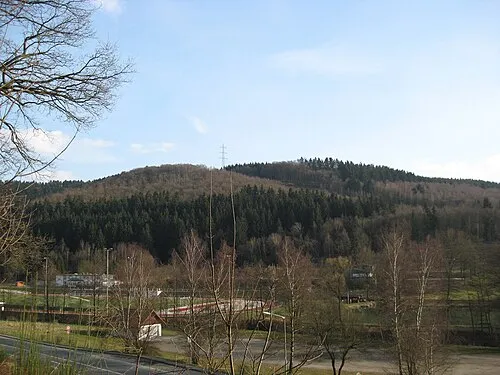
Raßberg Dbawwsnrw · CC BY-SA 3.0 -
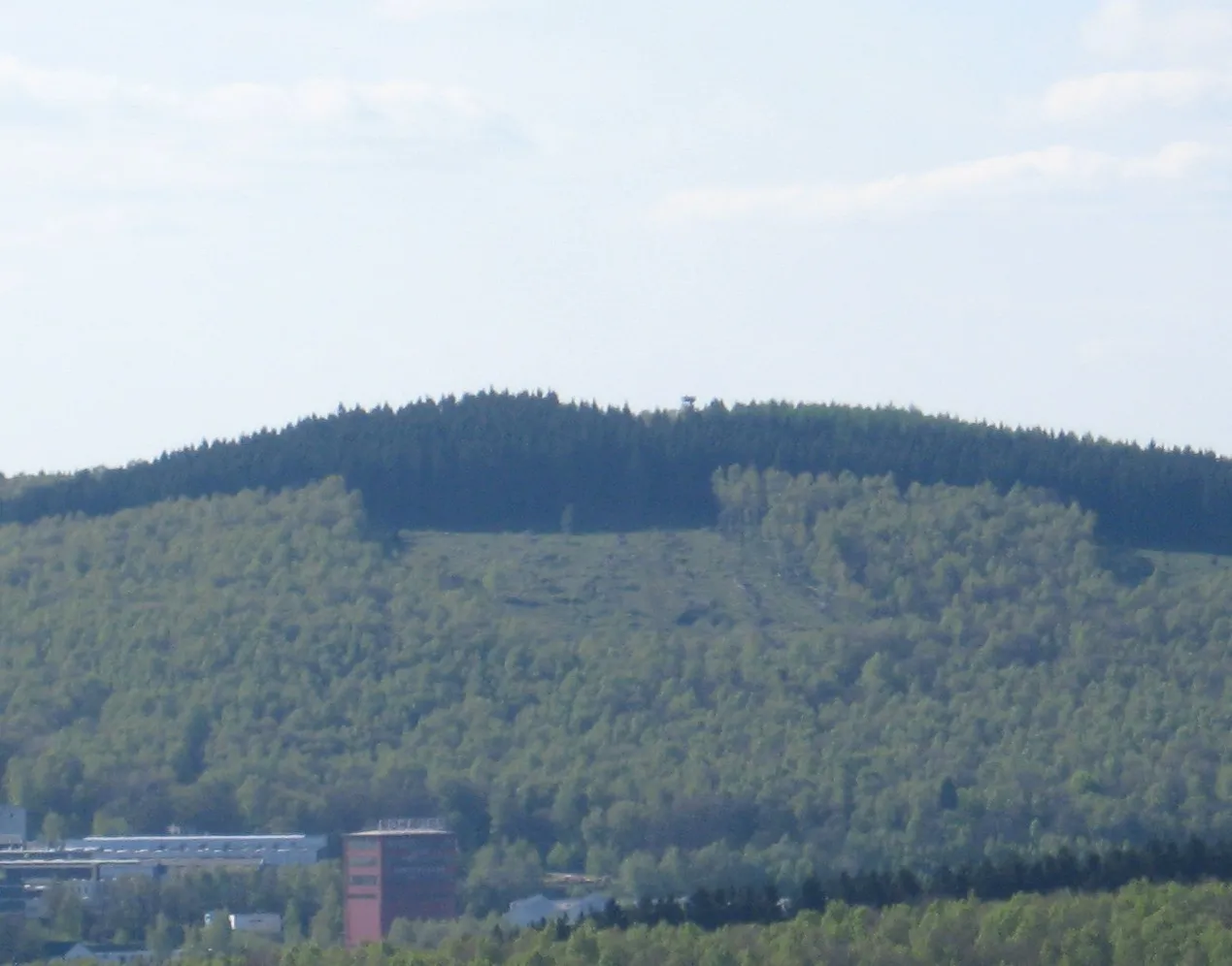
Pfannenberg Dbawwsnrw · CC BY 3.0


Climate of Kreis Siegen-Wittgenstein
Best months for sightseeingBest months for sightseeing: June–August.
This month · November
A wet month
Day 5° · Night 0° · Rain 104 mm
- Hottest month
- July (day 20°)
- Coldest month
- February (night -4°)
- Wettest month
- December (123 mm)
- Driest month
- April (71 mm)
Bars: average monthly low and high temperature. Below: precipitation. Monthly averages for 1970–2000 at about 18 km resolution, adjusted for elevation. Highlighted months are mild and relatively dry. Source: WorldClim 2.1 (CC BY 4.0).
Show values as a table
| Month | Jan | Feb | Mar | Apr | May | Jun | Jul | Aug | Sep | Oct | Nov | Dec |
|---|---|---|---|---|---|---|---|---|---|---|---|---|
| Average high (°C) | 1° | 3° | 6° | 10° | 16° | 18° | 20° | 20° | 16° | 11° | 5° | 2° |
| Average low (°C) | -4° | -4° | -1° | 1° | 6° | 9° | 10° | 10° | 7° | 3° | 0° | -2° |
| Precipitation (mm) | 114 | 81 | 98 | 71 | 75 | 83 | 87 | 74 | 83 | 92 | 104 | 123 |
How to get to Kreis Siegen-Wittgenstein
The nearest airport is Dortmund Airport (DTM), 75 km to the northwest as the crow flies. The nearest large city is Siegen, 19 km to the southwest.
Airports
- Dortmund Airport (DTM) Dortmund 75 kmnorthwest
- Paderborn Lippstadt Airport (PAD) Büren 76 kmnorth
- Cologne Bonn Airport (CGN) Köln (Cologne) 78 kmwest
Nearby large cities
- Siegen Population: 107.2K 19 kmsouthwest
- Hagen Population: 199K 69 kmnorthwest
- Remscheid Population: 117.1K 77 kmwest
- Bergisch Gladbach Population: 106.2K 78 kmwest
- Dortmund Population: 588.5K 81 kmnorthwest
Straight-line distances; road distances are longer. Airport data: OurAirports.
Day trips from Kreis Siegen-Wittgenstein
Within 100 km: 581 historic and cultural sites, 4,380 natural sites, 780 lakes, rivers and coasts.
0–25 km602 places
- Breitenbachtalsperre Lake 12 kmW
- Obernaustausee Lake 9 kmSW
- Ziegenberg Mountain 17 kmS
- Walkersdorfer Berg Mountain 23 kmSW
25–60 km2,035 places
- Else River 38 kmNW
- Weibe River 28 kmW
- Valme River 45 kmN
- Ohe River 38 kmSE
60–100 km3,104 places
- Wande River 79 kmNE
- Erpe River 79 kmNE
- Else River 69 kmNW
- Naure River 84 kmNE
Straight-line distances.
Kreis Siegen-Wittgenstein and similar cities
Side by side with cities of similar size in the same country: population, elevation and climate.
| Measure | Kreis Siegen-Wittgenstein | Gelsenkirchen | Aachen | Karlsruhe |
|---|---|---|---|---|
| Population | 274.1K | 270K | 265.2K | 283.8K |
| Elevation | 616 m | 48 m | 266 m | 118 m |
| Summer day (hottest month) | 20° | 24° | 22° | 25° |
| Winter night (coldest month) | -4° | 0° | -1° | -1° |
| Annual rainfall | 1,085 mm | 872 mm | 907 mm | 765 mm |
| Best months | Jun–Aug | Jun–Aug | Jun–Aug | May–Sep |
| Distance | — | 99 km | 153 km | 219 km |
Climate values are 1970–2000 monthly averages; straight-line distance.
Places in Kreis Siegen-Wittgenstein
11 places- 1 Siegen 102.7K
- 2 Kreuztal 30.9K
- 3 Netphen 23.1K
- 4 Wilnsdorf 20K
- 5 Bad Berleburg 18.4K
- 6 Freudenberg 17.4K
- 7 Burbach 14.6K
- 8 Hilchenbach 14.4K
- 9 Bad Laasphe 13.1K
- 10 Neunkirchen 12.7K
- 11 Erndtebrück 6.8K
Bar: population relative to the most populous place in this list.
Nearby attractions & nature
Everything nearby-
Forst Erndtebrück Natural site, North Rhine-Westphalia2.2 km SW
-
Benfe River River, North Rhine-Westphalia2.1 km NE
-
Elberndorfer Bach River, North Rhine-Westphalia3.5 km NE
-
Forst Hilchenbach Natural site, North Rhine-Westphalia4 km SW
-
Eder Quelle Natural site, North Rhine-Westphalia4.9 km SW
-
Hermeskopf Mountain, Kirchhundem6.1 km N
-
Hoherod Mountain, Kirchhundem7.2 km NW
-
Habecke Mountain, Kirchhundem7.7 km NW
Other cities and towns in Regierungsbezirk Arnsberg
-
Erndtebrück Town, Erndtebrück1.9 km NE
-
Hilchenbach Town, Hilchenbach9.4 km W
-
Kreis Olpe Municipality, Regierungsbezirk Arnsberg24 km NW
-
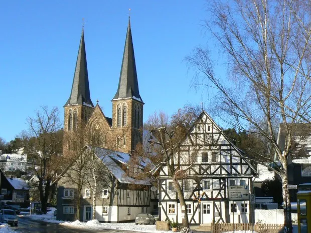 Netphen Town, Netphen12 km SW
-
Bad Laasphe Town, Bad Laasphe14 km E
-
Kreuztal Town, Kreuztal18 km W
Sources & licences
Data last updated: