Mattheiser Wald
Located in Rhineland-Palatinate, Germany Coordinates: 49°42′39″ N 6°38′43″ E
- Elevation
- 353 m
- above sea level
- Local time
- UTC+01:00
- Europe/Berlin · UTC+01:00
About Mattheiser Wald
Mattheiser Wald is a natural site. Location: Rhineland-Palatinate, Germany.
In comparison
- 39 sights and natural places within 10 km Konzer Tälchen, Trier Benediktinerabtei St. Matthias
Nearest towns and villages
-
Konz Village, Landkreis Trier-Saarburg4.2 km SW
-
Trier Village, Kreisfreie Stadt Trier4.8 km N
-
Hockweiler Village, Landkreis Trier-Saarburg3 km SE
-
Irsch Village, Trier4.2 km NE
-
Franzenheim Village, Landkreis Trier-Saarburg4.2 km SE
-
Pellingen Village, Landkreis Trier-Saarburg4.3 km SE
Nearby attractions & nature
Everything nearby-
Konzer Tälchen Natural site, Rhineland-Palatinate2.9 km S
-
Mohrenkopf Mountain, Trier5.5 km NW
-
Petrisberg Mountain, Trier4.6 km N
-
Hardtberg Mountain, Ollmuth5.5 km SE
-
Eurener Wald Natural site, Rhineland-Palatinate5.1 km NW
-
Scharzberg Mountain, Wiltingen6.9 km SW
-
Löberg Mountain, Trier6.9 km NW
-
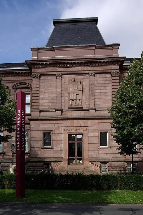 Rheinisches Landesmuseum Trier Museum, Trier4.6 km N
Sources & licences
Data last updated: