Ober-Kunowald
Located in Rhineland-Palatinate, Germany Coordinates: 50°02′43″ N 6°46′34″ E
- Elevation
- 441 m
- above sea level
- Local time
- UTC+01:00
- Europe/Berlin · UTC+01:00
About Ober-Kunowald
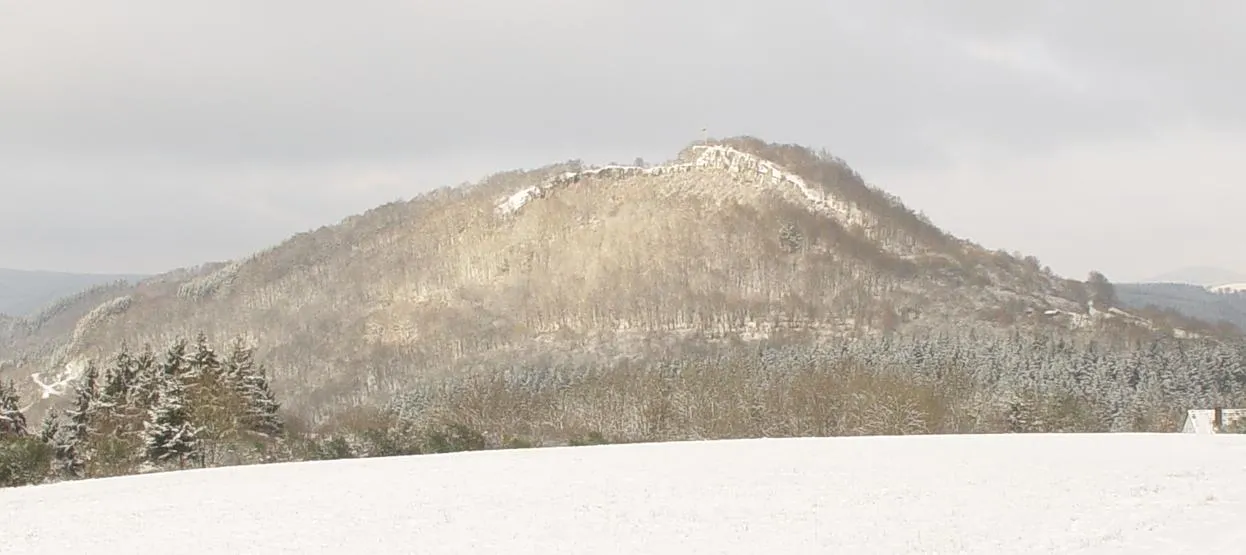
Ober-Kunowald is a natural site. Location: Rhineland-Palatinate, Germany.
In comparison
- 50 sights and natural places within 10 km Hunnenkopf, Unter-Kunowald
Nearest towns and villages
-
Großlittgen Village, Landkreis Bernkastel-Wittlich2.2 km SE
-
Karl Village, Landkreis Bernkastel-Wittlich1.8 km E
-
Karl Village, Karl1.8 km E
-
Großlittgen Village, Großlittgen2.5 km SE
-
Bettenfeld Village, Landkreis Bernkastel-Wittlich4.3 km N
-
Eisenschmitt Village, Landkreis Bernkastel-Wittlich4.3 km W
Nearby attractions & nature
Everything nearby-
Hunnenkopf Mountain, Karl0.2 km N
-
Unter-Kunowald Natural site, Rhineland-Palatinate2.1 km NE
-
Rodenbüsch Mountain, Bettenfeld3 km NW
-
Schärft Bierscheid Natural site, Rhineland-Palatinate2.9 km NW
-
Forst Manderscheid Natural site, Rhineland-Palatinate3 km SW
-
Mosen Berg Mountain, Bettenfeld4 km N
-
Holzbeuel Mountain, Bettenfeld4.6 km NW
-
Backenbach River, Rhineland-Palatinate2.3 km SW
More nature in Germany
-
Jungenland Mountain, Meerfeld6.1 km NW
-
 Buer Berg Mountain, Schutz10 km N
-
Auf der Nöll Mountain, Meerfeld6.9 km N
-
In der Heeg Natural site, Rhineland-Palatinate4.3 km S
-
Birken Mountain, Meerfeld5.1 km NW
-
Staatsforst Wittlich Natural site, Rhineland-Palatinate4.8 km SW
Sources & licences
Data last updated: