Illingen / Saar
Located in Landkreis Neunkirchen, Saarland Coordinates: 49°22′35″ N 7°03′09″ E
- Population
- 15,935
- 15.9K
- Elevation
- 270 m
- above sea level
- Local time
- UTC+01:00
- Europe/Berlin · UTC+01:00
- Places inside
- 29
- listed under Illingen / Saar
About Illingen / Saar
Illingen / Saar is a village. Location: Landkreis Neunkirchen, Saarland. Population: 15,935. Elevation: 270 m.
In comparison
- No. 3 of 7 places in Landkreis Neunkirchen by population
- Nearest larger town: Illingen, 0 km SW
- 74 sights and natural places within 10 km Illingen / Saar - Pfarrkirche St. Stephan, Illingen / Saar - Burg Kerpen
- Listed here: Village: 12, Attraction: 8, Mountain: 5, Historic site: 1
Airports nearest to Illingen / Saar
- Saarbrücken Airport (SCN) Saarbrücken 18 km
- Frankfurt-Hahn Airport (HHN) Frankfurt am Main (Lautzenhausen) 65 km
- Luxembourg-Findel International Airport (LUX) Luxembourg 67 km
Straight-line distance; airports with scheduled flights only. Source: OurAirports (public domain).
Places in Illingen / Saar
29 places-
Illingen Town18.5K
-
Gennweiler Village
-
Götzenberg Mountain
-
Heidenberg Mountain
-
Hexen-Berg Mountain
-
Hirschenhübel Mountain
-
Hirzweiler Village
-
Hirzweiler Evangelische Kirche Attraction
-
Hirzweiler Katholische Kirche Attraction
-
Hosterhof Village
-
Hüttigweiler Village
-
Hüttigweiler Kapelle Attraction
-
Illingen / Saar - Bergkapelle Attraction
-
Illingen / Saar - Burg Kerpen Historic site
-
Illingen / Saar - Pfarrkirche St. Stephan Attraction
-
Kaisen Village
-
Raßweiler Village
-
Rotenberg Mountain
-
Seiterswald Village
-
Steinertshaus Village
-
Uchtelfangen Village
-
Uchtelfangen evangelische Kirche Attraction
-
Uchtelfangen katholische Kirche Attraction
-
Uchtelfangen - Schwimmbad Sonnenborn Landmark
-
Welschbach Village
-
Wustweiler Village
-
Wustweilerhof Village
Nearby attractions & nature
Everything nearby-
Wemmetsweiler - Rosengarten Natural site, Merchweiler2.4 km E
-
Weiersbrunnenberg Mountain, Schiffweiler3.2 km E
-
Uchtelfangen - Sonnenborn - Naturerlebnisweg Natural site, Saarland2.9 km NW
-
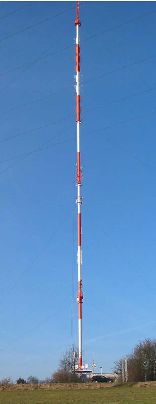 Göttelborner Höhe Mountain, Heusweiler4.7 km SW
-
Kallenberg Mountain, Friedrichsthal4.5 km SE
-
Jungenwald Natural site, Saarland4.2 km S
Sources & licences
Data last updated: