Raßweiler
Located in Illingen / Saar, Landkreis Neunkirchen Coordinates: 49°23′03″ N 7°04′21″ E
- Elevation
- 288 m
- above sea level
- Local time
- UTC+01:00
- Europe/Berlin · UTC+01:00
- Airports
- SCN Saarbrücken Airport19 km
- HHN Frankfurt-Hahn Airport64 km
About Raßweiler
Raßweiler is a village. Location: Illingen / Saar, Landkreis Neunkirchen. Elevation: 288 m. The best months to visit are June–August. The nearest airport is Saarbrücken Airport (19 km). Nearby sights include Hirschenhübel and Hüttigweiler katholische Kirche St. Maria Magdalena.
Photos of Raßweiler
-
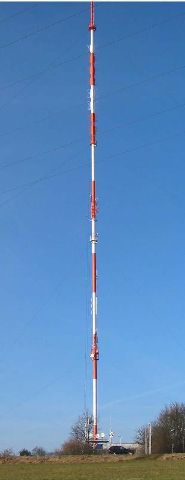
Göttelborner Höhe LoKiLeCh · CC BY-SA 3.0 -
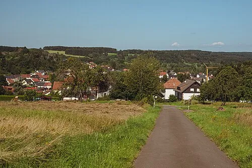
Faulenberg Flocci Nivis · CC BY 4.0


Climate of Raßweiler
Best months for sightseeingBest months for sightseeing: June–August.
This month · November
A cold month
Day 7° · Night 2° · Rain 96 mm
- Hottest month
- July (day 23°)
- Coldest month
- February (night -2°)
- Wettest month
- December (110 mm)
- Driest month
- April (63 mm)
Bars: average monthly low and high temperature. Below: precipitation. Monthly averages for 1970–2000 at about 18 km resolution, adjusted for elevation. Highlighted months are mild and relatively dry. Source: WorldClim 2.1 (CC BY 4.0).
Show values as a table
| Month | Jan | Feb | Mar | Apr | May | Jun | Jul | Aug | Sep | Oct | Nov | Dec |
|---|---|---|---|---|---|---|---|---|---|---|---|---|
| Average high (°C) | 3° | 5° | 9° | 13° | 18° | 21° | 23° | 23° | 18° | 13° | 7° | 4° |
| Average low (°C) | -2° | -2° | 1° | 3° | 7° | 11° | 12° | 12° | 8° | 5° | 2° | 0° |
| Precipitation (mm) | 91 | 78 | 80 | 63 | 79 | 79 | 76 | 63 | 72 | 90 | 96 | 110 |
How to get to Raßweiler
The nearest airport is Saarbrücken Airport (SCN), 19 km to the south as the crow flies. For international flights: Frankfurt-Hahn Airport (HHN) (64 km). The nearest large city is Saarbrücken, 17 km to the south.
Airports
- Saarbrücken Airport (SCN) Saarbrücken 19 kmsouth
- Frankfurt-Hahn Airport (HHN) Frankfurt am Main (Lautzenhausen) 64 kmnorth
- Luxembourg-Findel International Airport (LUX) Luxembourg 68 kmnorthwest
Nearby large cities
- Saarbrücken Population: 183K 17 kmsouth
- Trier Population: 100.1K 52 kmnorthwest
- Metz Population: 123.9K 72 kmsouthwest
- Ludwigshafen am Rhein Population: 163.2K 100 kmeast
- Nancy Population: 105.1K 101 kmsouthwest
Straight-line distances; road distances are longer. Airport data: OurAirports.
Day trips from Raßweiler
Within 100 km: 423 historic and cultural sites, 2,498 natural sites, 620 lakes, rivers and coasts.
0–25 km346 places
- Bostalsee Lake 20 kmN
- Ottweiler Wingertsweier Lake 9 kmE
- Bomberg Mountain 8 kmNE
- Ziegelberg Mountain 22 kmE
25–60 km1,208 places
- Sauer River 56 kmNW
- Gelterswoog Lake 45 kmE
- Talsperre Nonnweiler Lake 27 kmN
- Steinbachtalsperre Lake 45 kmN
60–100 km1,987 places
- Bois Pertot Natural site 100 kmW
- Kindel Busch Natural site 95 kmW
- Jungen Busch Natural site 94 kmW
- Jufferbusch Natural site 90 kmW
Straight-line distances.
Nearby attractions & nature
Everything nearby-
Hirschenhübel Mountain, Illingen / Saar0.7 km SW
-
Hüttigweiler katholische Kirche St. Maria Magdalena Attraction, Illingen / Saar0.2 km NE
-
Hüttigweiler Kapelle Attraction, Illingen / Saar1 km NE
-
Weiersbrunnenberg Mountain, Schiffweiler1.6 km E
-
Illingen / Saar - Burg Kerpen Historic site, Illingen / Saar1.5 km SW
-
Hexen-Berg Mountain, Illingen / Saar2.3 km NE
Other cities and towns in Illingen / Saar
-
 Wustweiler Village, Illingen / Saar2.9 km NW
-
Hirzweiler Village, Illingen / Saar2 km N
-
 Uchtelfangen Village, Illingen / Saar3.9 km W
-
Wustweilerhof Village, Illingen / Saar1.6 km W
-
Gennweiler Village, Illingen / Saar1.8 km SW
-
Hosterhof Village, Illingen / Saar2.2 km W
Sources & licences
Data last updated: