Görlitz
Located in Landkreis Görlitz, Saxony Coordinates: 51°09′01″ N 14°58′58″ E
- Population
- 55,186
- 55.2K
- Elevation
- 221 m
- above sea level
- Local time
- UTC+01:00
- Europe/Berlin · UTC+01:00
- Places inside
- 23
- listed under Görlitz
About Görlitz
Görlitz is a village. Location: Landkreis Görlitz, Saxony. Population: 55,186. Elevation: 221 m.
Görlitz ([ˈɡœʁlɪts] ; East Lusatian: Gerlz, Gerltz, Gerltsch; Upper Sorbian: Zhorjelc [ˈzhɔʁʲɛlts] ) is a town in Saxony, Germany. It is on the river Lusatian Neisse and is the largest town in Upper Lusatia, the second-largest town in the region of Lusatia after Cottbus, and the largest town in the German part of the region of Silesia. Görlitz is the easternmost town in Germany and lies opposite the Polish town of Zgorzelec, which was the eastern part of Görlitz until 1945.
Read more on Wikipedia Text: Wikipedia contributors · CC BY-SA 4.0 · shortened
At a glance
- Area
- 67.5 km²
Source: Wikidata
In comparison
- Most populous of 53 places in Landkreis Görlitz
- Nearest larger town: Landkreis Görlitz, 1 km W
- 16 sights and natural places within 10 km Görlitz Concentration Camp, Schafberg
- Listed here: Village: 15, Historic site: 4, Mountain: 3, Town: 1
Places in Görlitz
23 places-
Görlitz Town57.8K
-
Biesnitz Village
-
Deutsch Ossig Village
-
Early Camp Leschwitz Historic site
-
Galgenberg Mountain
-
Görlitz Concentration Camp Historic site
-
Hagenwerder Village
-
Klein Neundorf Village
-
Klingewalde Village
-
Kolonie Hasenberg Village
-
Kraftwerk Hagenwerder Historic site
-
Kunnerwitz Village
-
Kunnerwitz Concentration Camp Historic site
-
Landeskrone Mountain
-
Ludwigsdorf Village
-
Niederludwigsdorf Village
-
Oberludwigsdorf Village
-
Ober Neundorf Village
-
Rauschwalde Village
-
Schafberg Mountain
-
Schlauroth Village
-
Tauchritz Village
-
Weinhübel Village
Nearby attractions & nature
Everything nearby-
Kapellenberg Mountain, Schöpstal6.2 km NW
-
Schwarzer Berg Mountain, Markersdorf8.6 km SW
-
Geiersberg Mountain, Kodersdorf8.8 km NW
-
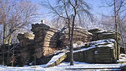 Hochstein Mountain, Königshain11 km NW
-
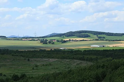 Friedersdorfer Berg Mountain, Markersdorf11 km SW
-
Sandberg Mountain, Kodersdorf10 km NW
Sources & licences
Data last updated: · 2 independent sources