Landeskrone
Located in Görlitz, Landkreis Görlitz Coordinates: 51°07′46″ N 14°55′58″ E
- Elevation
- 419 m
- above sea level
- Local time
- UTC+01:00
- Europe/Berlin · UTC+01:00
About Landeskrone
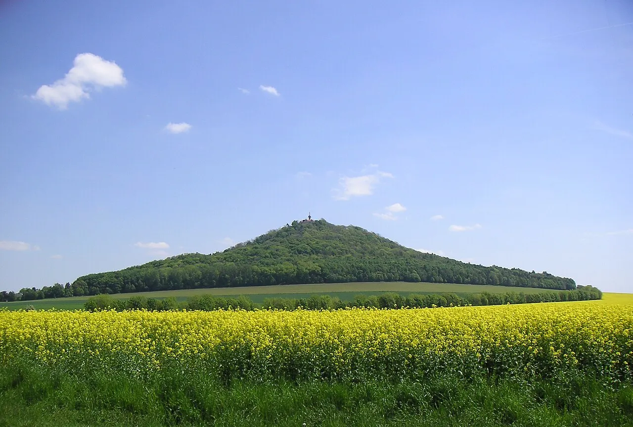
Landeskrone is a mountain. Location: Görlitz, Landkreis Görlitz. Elevation: 419 m.
The Landeskrone (German name; named Sedło in Upper Sorbian) is a hill in Upper Lusatia that is known as the Hausberg or "local hill" of the town of Görlitz. It is situated in eastern Saxony, Germany, close to the eastern border with Poland. On its western side is the municipality of Markersdorf.
Read more on Wikipedia Text: Wikipedia contributors · CC BY-SA 4.0 · shortened
At a glance
- Heritage designation
- heritage monument in Saxony
Source: Wikidata
In comparison
- No. 12223 of 25787 mountains in Germany by elevation
- 31 sights and natural places within 10 km Kunnerwitz Concentration Camp, Early Camp Leschwitz
Nearest towns and villages
-
Markersdorf Village, Landkreis Görlitz3.5 km W
-
Markersdorf Village, Markersdorf3.5 km W
-
Kunnerwitz Village, Görlitz1.4 km SE
-
Kolonie Hasenberg Village, Görlitz1.4 km S
-
Rauschwalde Village, Görlitz1.6 km NE
-
Biesnitz Village, Görlitz2 km NE
Nearby attractions & nature
Everything nearby-
Kunnerwitz Concentration Camp Historic site, Görlitz1.3 km S
-
Schwarzer Berg Mountain, Markersdorf4.6 km SW
-
Early Camp Leschwitz Historic site, Görlitz4 km E
-
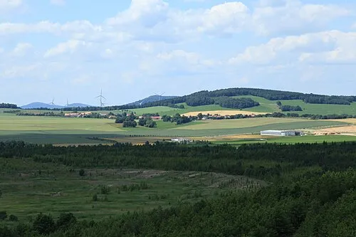 Friedersdorfer Berg Mountain, Markersdorf7.1 km SW
-
Schafberg Mountain, Görlitz7 km NE
-
Kapellenberg Mountain, Schöpstal7 km N
-
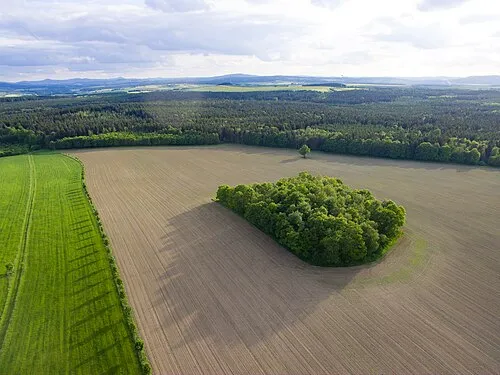 Tannenberg Mountain, Markersdorf7.7 km SW
-
Stiftswald Joachimstein Natural site, Saxony6.2 km W
Sources & licences
Data last updated: · 2 independent sources