Blauort
Located in Schleswig-Holstein, Germany Coordinates: 54°09′56″ N 8°44′16″ E
- Local time
- UTC+01:00
- Europe/Berlin · UTC+01:00
About Blauort
Blauort is an island. Location: Schleswig-Holstein, Germany.
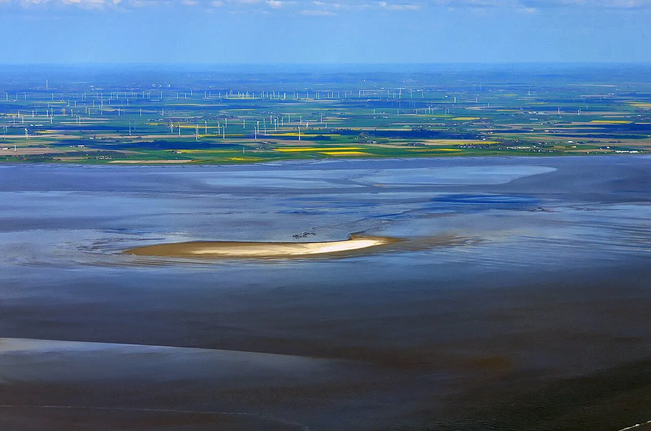
Blauort (German pronunciation: [ˈblaʊˌʔɔʁt]) is one of Germany's uninhabited North Sea sandy islets off the coast of Dithmarschen (near Büsum), and measures about 1,200 m from north to south and 500 metres from east to west. It is surrounded by the sandbank of Blauortsand, which is bounded to the north by the creek of the Wesselburener Loch and to the south by the Piep.
Read more on Wikipedia Text: Wikipedia contributors · CC BY-SA 4.0 · shortened
At a glance
- Length
- 1.2 km
- Area
- 60 ha
Source: Wikidata
In comparison
- 3 sights and natural places within 10 km Heringsander Strom, Tertius
Nearest towns and villages
-
Westerdeichstrich Village, Kreis Dithmarschen7.5 km E
-
Hedwigenkoog Village, Kreis Dithmarschen7.6 km E
-
Büsum Village, Kreis Dithmarschen9.2 km E
-
Büsum Village, Büsum8.6 km SE
-
Hedwigenkoog Village, Hedwigenkoog7.6 km E
-
Hellschen-Heringsand-Unterschaar Village, Kreis Dithmarschen8.3 km NE
Nearby attractions & nature
Everything nearby-
Heringsander Strom River, Hedwigenkoog5 km E
-
Tertius Island, Schleswig-Holstein5 km SW
-
Schwalkenstrom River, Süderdeich10 km E
-
Rochelsand Beach, St. Peter-Ording21 km NW
-
Wartstrom River, Oesterdeichstrich12 km E
-
Trischen Island, Schleswig-Holstein12 km S
-
Süder Balje River, Schleswig-Holstein13 km E
-
Meldorfer Bucht Natural site, Schleswig-Holstein14 km SE
Sources & licences
Data last updated: · 2 independent sources