Wangels
Located in Kreis Ostholstein, Schleswig-Holstein Coordinates: 54°16′00″ N 10°46′00″ E
- Population
- 2,190
- 2.2K
- Elevation
- 53 m
- above sea level
- Local time
- UTC+01:00
- Europe/Berlin · UTC+01:00
- Places inside
- 32
- listed under Wangels
About Wangels
Wangels is a village. Location: Kreis Ostholstein, Schleswig-Holstein. Population: 2,190. Elevation: 53 m.
Wangels is a municipality in Holstein, located directly on the Baltic Sea. It consists of 12 villages (Hansühn, Barensdorf, Döhnsdorf, Grammdorf, Hohenstein, Karlshof, Kreuzkate, Kükelühn, Meischenstorf, Neutestorf and Wasbuck). Hansühn is the largest and central village with approx. 750 inhabitants, where the municipal administration and the church are located. Remarkable are the stately old manor houses: Charlottenhof, Ehlerstorf, Farve, Friederikenhof, Testorf and Weißenhaus.
Read more on Wikipedia Text: Wikipedia contributors · CC BY-SA 4.0 · shortened
At a glance
- Area
- 67.1 km²
Source: Wikidata
In comparison
- No. 19 of 36 places in Kreis Ostholstein by population
- Nearest larger town: Wangels, 1 km N
- 91 sights and natural places within 10 km Großer Ellert, Steinkrögen
- Listed here: Natural site: 14, Village: 13, Mountain: 3, River: 2
Places in Wangels
32 places-
Wangels Village2.4K
-
Barensdorf Village
-
Breden Natural site
-
Die Burg Natural site
-
Döhnsdorf Village
-
Ehlerstorfer Wald Natural site
-
Eschenplatz Natural site
-
Farsen Natural site
-
Farve Village
-
Felgenberg Mountain
-
Fuchsberg Natural site
-
Grammdorf Village
-
Großer Ellert Natural site
-
Hansühn Village
-
Hassland Natural site
-
Heischkoppel Natural site
-
Hohe Dösch Natural site
-
Hohenstein Village
-
Jägergehege Natural site
-
Kleeberg Mountain
-
Kleinrolübbe Village
-
Kükelühn Village
-
Mühlenau River
-
Pesberg Mountain
-
Sparhorst Natural site
-
Steinkrögen Natural site
-
Testorf Village
-
Testorfer Au River
-
Wasbuck Village
-
Weißenhaus Village
-
Weißenhäuser Strand Village
-
Wildhorst Natural site
Nearby attractions & nature
Everything nearby-
Hellthalbach River, Blekendorf3.5 km W
-
Hellberg Mountain, Harmsdorf4.1 km SE
-
Goldberg Mountain, Schönwalde am Bungsberg4.4 km S
-
Weiberberg Mountain, Harmsdorf5.4 km SE
-
Ellert Natural site, Blekendorf4.3 km SW
-
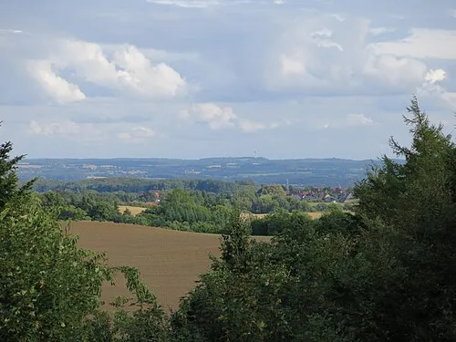 Bungsberg Mountain, Schönwalde am Bungsberg6.8 km SW
Sources & licences
Data last updated: · 2 independent sources