Schwarzhausen
Located in Waltershausen, Landkreis Gotha Coordinates: 50°54′07″ N 10°28′16″ E
- Elevation
- 327 m
- above sea level
- Local time
- UTC+01:00
- Europe/Berlin · UTC+01:00
About Schwarzhausen
Schwarzhausen is a village. Location: Waltershausen, Landkreis Gotha. Elevation: 327 m.
Schwarzhausen (German pronunciation: [ʃvaʁtsˈhaʊzn̩]) is a village in Thuringia, Germany. In 1946, it was incorporated into the municipality of Emsetal in the district of Gotha.
Read more on Wikipedia Text: Wikipedia contributors · CC BY-SA 4.0 · shortened
In comparison
- Nearest larger town: Seebach, 3 km W
- 108 sights and natural places within 10 km Kesselkopf, Reitzenberg
Nearby attractions & nature
Everything nearby-
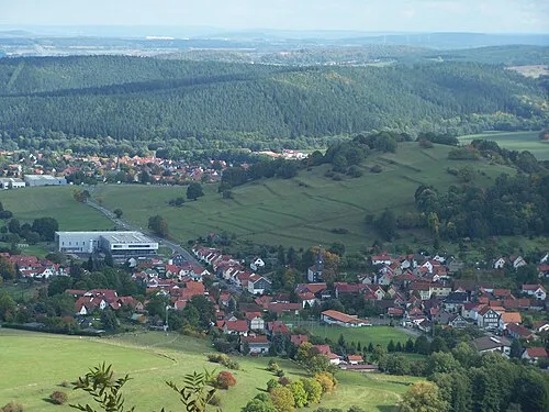 Grübelberg Mountain, Waltershausen1.9 km SE
-
Dachskopf Mountain, Waltershausen2.1 km E
-
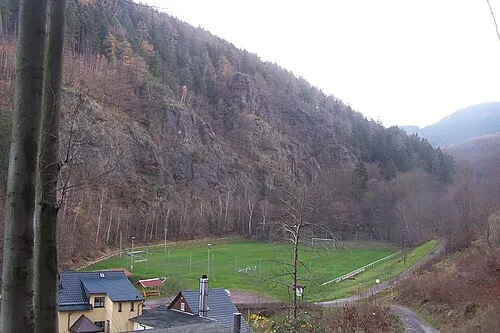 Hopfenberg Mountain, Waltershausen2.9 km S
-
Polarskopf Mountain, Hörsel1.9 km NE
-
Kesselkopf Mountain, Hörselberg-Hainich1.7 km N
-
Reitzenberg Mountain, Hörselberg-Hainich1.8 km NW
Sources & licences
Data last updated: · 2 independent sources