Kulm
Located in Unterwellenborn, Saalfeld-Rudolstadt Coordinates: 50°41′00″ N 11°22′07″ E
- Elevation
- 482 m
- above sea level
- Local time
- UTC+01:00
- Europe/Berlin · UTC+01:00
About Kulm
Kulm is a mountain. Location: Unterwellenborn, Saalfeld-Rudolstadt. Elevation: 482 m.
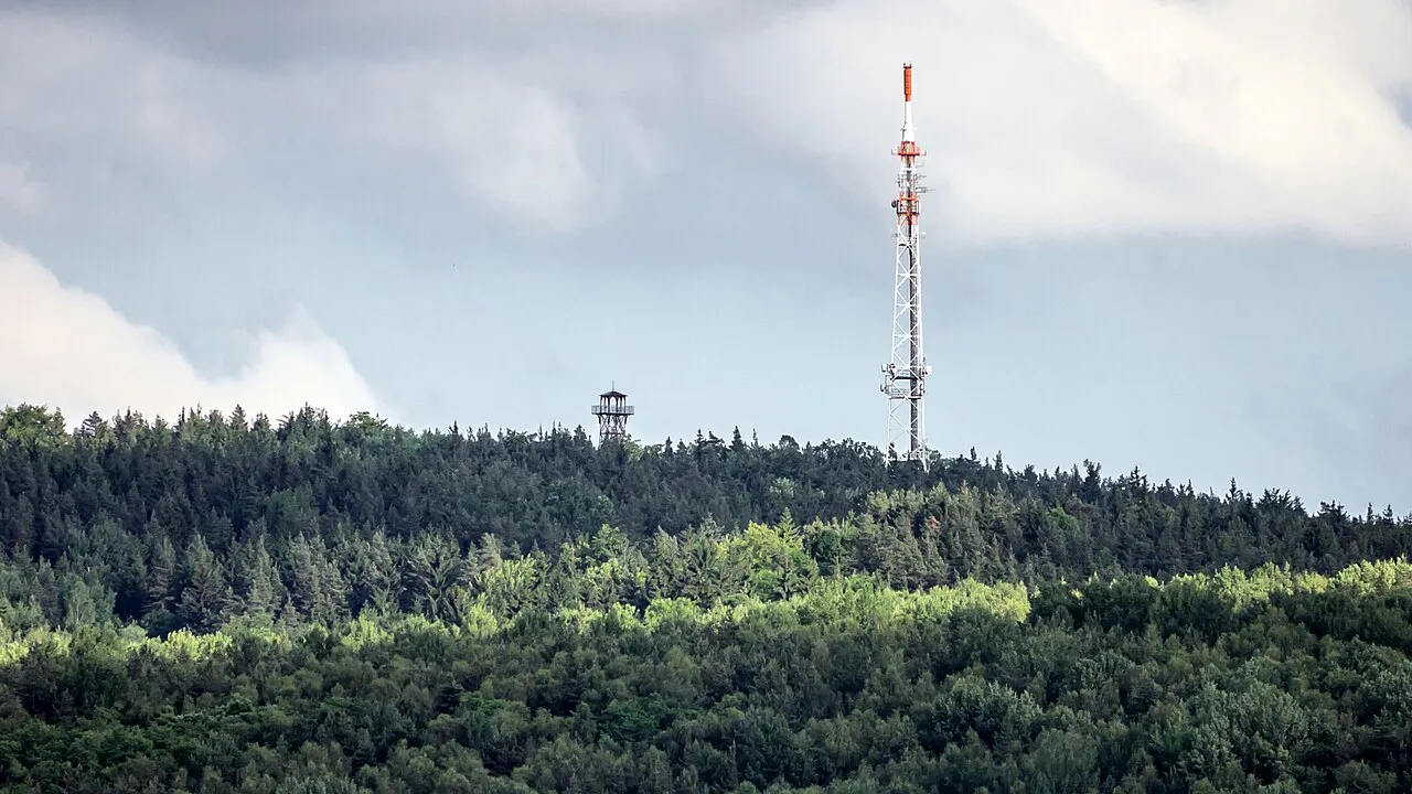
The Kulm is a hill, 481.9 m above sea level (NHN), near Saalfeld in the German state of Thuringia. It lies east of the Saale valley at the western tip of the Saale 'Knee' and is the local hill of the towns of Saalfeld and Rudolstadt. From the Kulm there is a panoramic view over the valleys of the Saale and Rinne, the Orla Basin, the Thuringian Highland and the Ilm-Saale Plateau.
Read more on Wikipedia Text: Wikipedia contributors · CC BY-SA 4.0 · shortened
At a glance
- Topographic prominence
- 195 m
Source: Wikidata
In comparison
- No. 9493 of 25787 mountains in Germany by elevation
- 75 sights and natural places within 10 km Lositz, Heidenberg
Nearest towns and villages
-
Dorfkulm Village, Unterwellenborn0.4 km SE
-
Saalfeld/Saale Village, Saalfeld-Rudolstadt3.6 km S
-
Oberdorf Village, Unterwellenborn0.5 km S
-
Unterdorf Village, Unterwellenborn0.8 km SW
-
Schloßkulm Village, Uhlstädt-Kirchhasel0.7 km NE
-
Rudolstadt Village, Saalfeld-Rudolstadt4.8 km NW
Nearby attractions & nature
Everything nearby-
Lositz Mountain, Rudolstadt1.3 km W
-
Heidenberg Mountain, Rudolstadt1.8 km N
-
Mäuseberg Mountain, Saalfeld/Saale1.9 km S
-
Galerieberg Mountain, Rudolstadt2.3 km NW
-
Heiligenberg Mountain, Saalfeld/Saale2.3 km SE
-
Pfarrberg Mountain, Unterwellenborn2.9 km NE
-
Mühlberg Mountain, Rudolstadt3.1 km NW
-
Schatzberg Mountain, Unterwellenborn3.3 km NE
Sources & licences
Data last updated: · 2 independent sources