Wernershäuser Höhe
Located in Nazza, Wartburgkreis Coordinates: 51°05′51″ N 10°20′38″ E
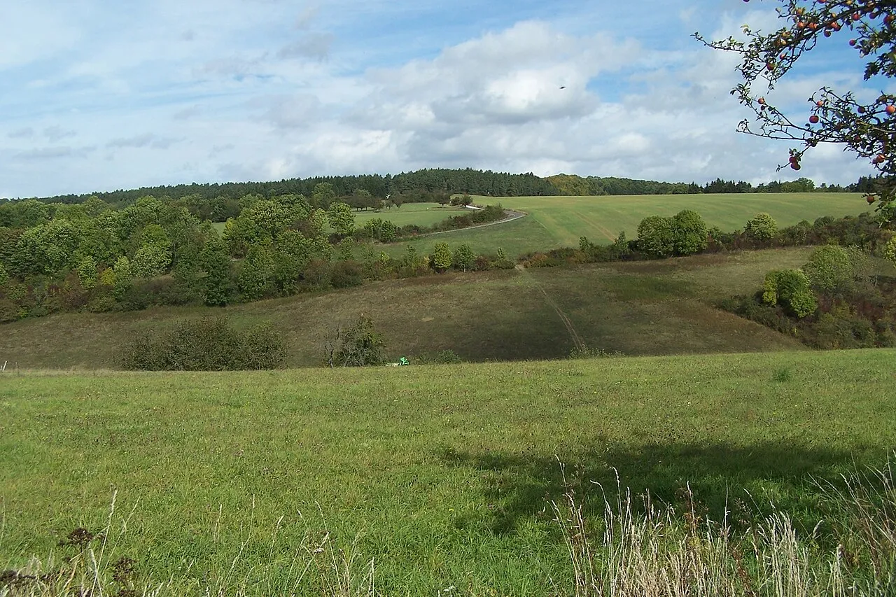
- Elevation
- 355 m
- above sea level
- Local time
- UTC+01:00
- Europe/Berlin · UTC+01:00
About Wernershäuser Höhe
Wernershäuser Höhe is a mountain. Location: Nazza, Wartburgkreis. Elevation: 355 m.
In comparison
- No. 15058 of 25787 mountains in Germany by elevation
- 87 sights and natural places within 10 km Pfarrkopf, Fuchsberg
Airports nearest to Wernershäuser Höhe
- Erfurt-Weimar Airport (ERF) Erfurt 45 km
- Kassel Airport (KSF) Calden 75 km
- Paderborn Lippstadt Airport (PAD) Büren 133 km
Straight-line distance; airports with scheduled flights only. Source: OurAirports (public domain).
Nearest towns and villages
-
Nazza Village, Nazza2 km N
-
Wernershausen Village, Nazza0.3 km N
-
Mihla Village, Amt Creuzburg2.5 km S
-
Lauterbach Village, Wartburgkreis3.5 km S
-
Lauterbach Village, Lauterbach3.5 km S
-
Ebenshausen Village, Amt Creuzburg3.5 km SW
Nearby attractions & nature
Everything nearby-
Pfarrkopf Mountain, Amt Creuzburg1.1 km NE
-
Fuchsberg Mountain, Amt Creuzburg2.1 km NW
-
Moseberg Mountain, Nazza2.2 km N
-
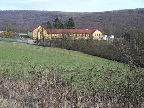 Harsberg Mountain, Amt Creuzburg2.8 km SE
-
Schliemengrund Natural site, Thuringia2.2 km N
-
Eselskopf Mountain, Nazza2.4 km NW
-
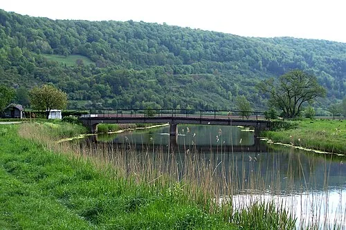 Goldberg Mountain, Treffurt3.8 km NW
-
Dachsberg Mountain, Lauterbach3.2 km SE
Sources & licences
Data last updated: · 2 independent sources