- Population
- 325
- 325
- Elevation
- 276 m
- above sea level
- Local time
- UTC+01:00
- Europe/Berlin · UTC+01:00
- Airports
- ERF Erfurt-Weimar Airport48 km
- KSF Kassel Airport74 km
About Ebenshausen
Ebenshausen is a village. Location: Amt Creuzburg, Wartburgkreis. Population: 325. Elevation: 276 m. The best months to visit are June–August. The nearest airport is Erfurt-Weimar Airport (48 km). Nearby sights include Mönchberg and Wernershäuser Höhe.
Photos of Ebenshausen
-
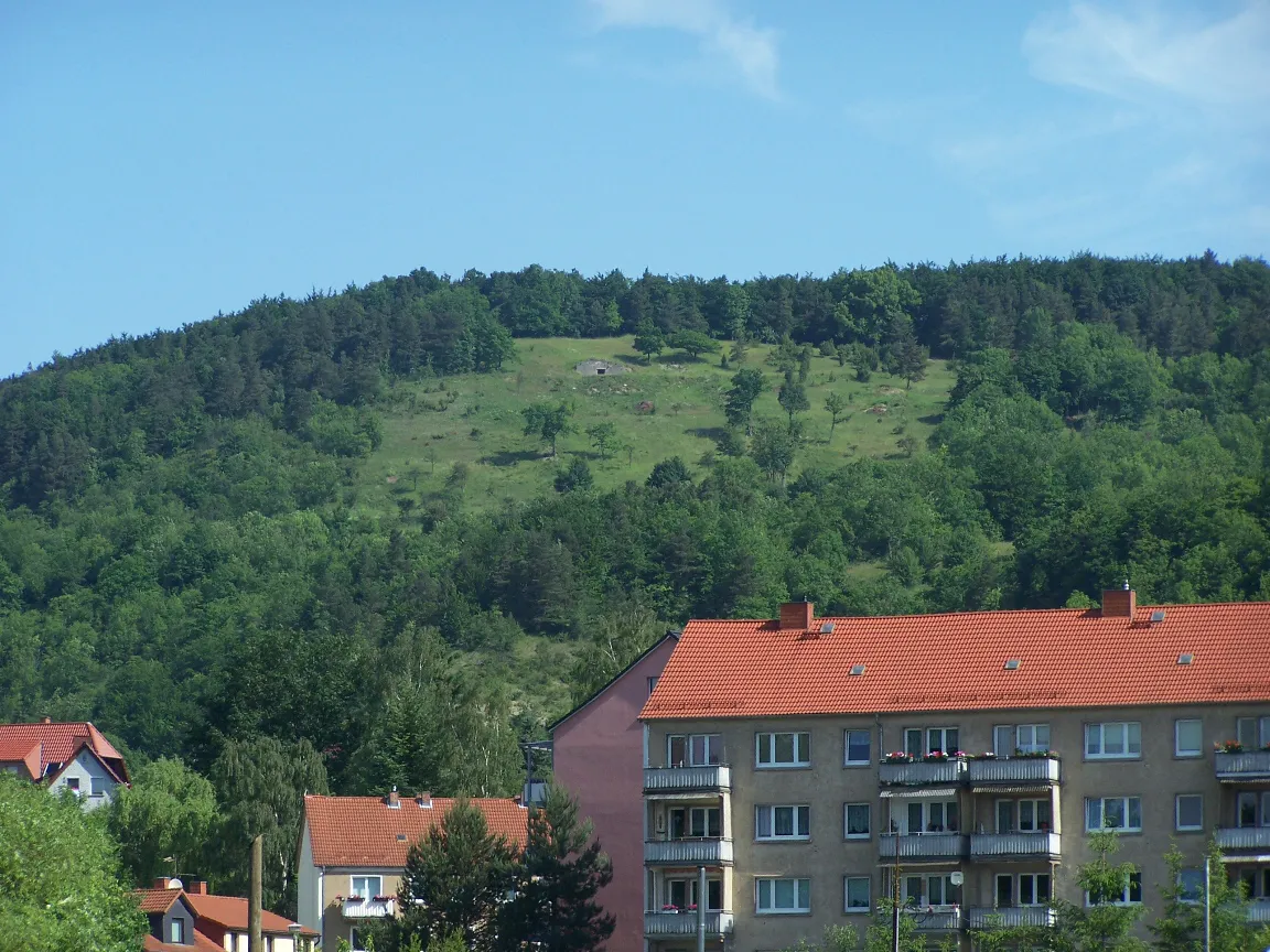
Wisch Metilsteiner · CC BY-SA 3.0 -
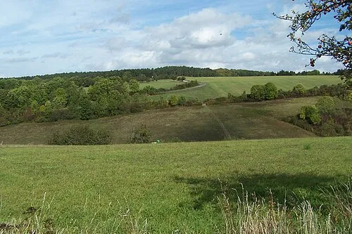
Wernershäuser Höhe Metilsteiner · CC BY 3.0 -
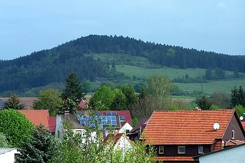
Sülzenberg Metilsteiner · CC BY 3.0 -
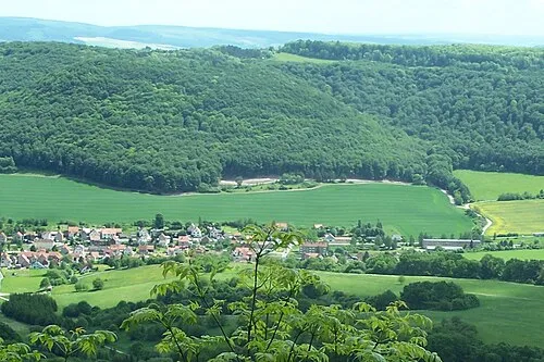
Stöckigtsberg Metilsteiner · CC BY 3.0 -
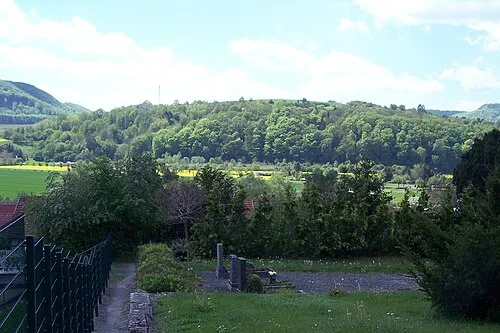
Sandberg Metilsteiner · CC BY 3.0


Climate of Ebenshausen
Best months for sightseeingBest months for sightseeing: June–August.
This month · November
A cold month
Day 7° · Night 1° · Rain 63 mm
- Hottest month
- July (day 22°)
- Coldest month
- February (night -3°)
- Wettest month
- July (78 mm)
- Driest month
- February (47 mm)
Bars: average monthly low and high temperature. Below: precipitation. Monthly averages for 1970–2000 at about 18 km resolution, adjusted for elevation. Highlighted months are mild and relatively dry. Source: WorldClim 2.1 (CC BY 4.0).
Show values as a table
| Month | Jan | Feb | Mar | Apr | May | Jun | Jul | Aug | Sep | Oct | Nov | Dec |
|---|---|---|---|---|---|---|---|---|---|---|---|---|
| Average high (°C) | 3° | 4° | 8° | 12° | 18° | 20° | 22° | 22° | 18° | 12° | 7° | 4° |
| Average low (°C) | -2° | -3° | 0° | 3° | 7° | 10° | 12° | 12° | 9° | 5° | 1° | -1° |
| Precipitation (mm) | 57 | 47 | 59 | 49 | 65 | 74 | 78 | 64 | 61 | 55 | 63 | 69 |
How to get to Ebenshausen
The nearest airport is Erfurt-Weimar Airport (ERF), 48 km to the east as the crow flies. The nearest large city is Erfurt, 53 km to the east.
Airports
- Erfurt-Weimar Airport (ERF) Erfurt 48 kmeast
- Kassel Airport (KSF) Calden 74 kmnorthwest
- Paderborn Lippstadt Airport (PAD) Büren 131 kmnorthwest
Nearby large cities
- Erfurt Population: 218.8K 53 kmeast
- Göttingen Population: 122.1K 56 kmnorthwest
- Kassel Population: 197.2K 62 kmnorthwest
- Jena Population: 104.7K 92 kmeast
- Salzgitter Population: 105K 120 kmnorth
Straight-line distances; road distances are longer. Airport data: OurAirports.
Day trips from Ebenshausen
Within 100 km: 468 historic and cultural sites, 5,455 natural sites, 808 lakes, rivers and coasts.
0–25 km520 places
- Frieda River 17 kmNW
- Hautsee Lake 24 kmSW
- Zwickelsberg Mountain 5 kmW
- Zungenkopf Mountain 25 kmW
25–60 km1,992 places
- Felda River 31 kmSW
- Eitra River 50 kmSW
- Vollmarshäuser Teich Lake 55 kmW
- Sieblebener Teich Lake 37 kmSE
60–100 km4,219 places
- Buchenwald concentration camp Historic site 67 kmE
- Wande River 91 kmNW
- Erpe River 91 kmNW
- Schalk River 84 kmN
Straight-line distances.
Nearby attractions & nature
Everything nearby-
Mönchberg Mountain, Amt Creuzburg<0.1 km N
-
Wernershäuser Höhe Mountain, Nazza3.5 km NE
-
Wisch Mountain, Amt Creuzburg5 km SW
-
Lauter River, Thuringia2.3 km E
-
Sollert Mountain, Amt Creuzburg2.1 km W
-
Habichtstal Natural site, Thuringia3.7 km S
Other cities and towns in Amt Creuzburg
-
Buchenau Village, Amt Creuzburg2.3 km SW
-
 Scherbda Village, Amt Creuzburg3.6 km W
-
Ebenau Village, Amt Creuzburg3 km SW
-
Mihlberg Village, Amt Creuzburg3.9 km S
-
Eschenborn Village, Amt Creuzburg4 km SW
-
Wilhelmsglücksbrunn Village, Amt Creuzburg6.9 km SW
Sources & licences
Data last updated: