Sarakinoí
Local name: Σαρακηνοί
Located in Almopia, Pella Coordinates: 40°54′56″ N 21°57′10″ E
- Population
- 398
- 398
- Elevation
- 635 m
- above sea level
- Local time
- UTC+02:00
- Europe/Athens · UTC+02:00
About Sarakinoí
Sarakinoí is a village. Location: Almopia, Pella. Population: 398. Elevation: 635 m.
Sarakinoi (Greek: Σαρακηνοί, before 1925: Σαρακίνοβο – Sarakinovo) is a village and a community in the municipal unit of Aridaia in the western Pella regional unit, Greece. In 2021 its population was 398 for the community, which includes the village Kato Koryfi. Sarakinoi is located in the southeastern part of the Voras Mountains, at 640 m elevation. It is 5 km west of Polykarpi, 6 km south of Loutraki, 11 km southwest of Aridaia and 15 km northwest of Edessa. Forests cover most of the area.
Read more on Wikipedia Text: Wikipedia contributors · CC BY-SA 4.0 · shortened
In comparison
- No. 24 of 39 places in Almopia by population
- Nearest larger town: Orma, 5 km NW
Nearby attractions & nature
Everything nearby-
Áno Koryfí Historic site, Almopia4.5 km NW
-
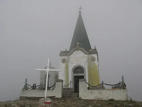 Kajmakčalan Mountain, Neos Ágios Athanásios14 km W
-
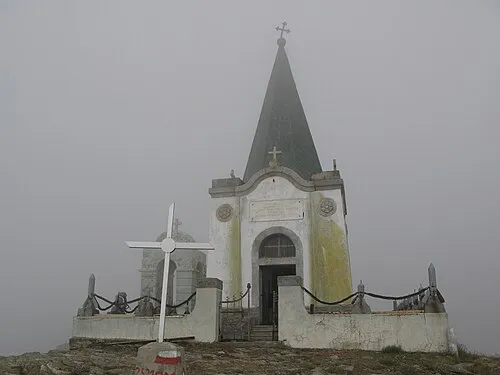 Voras Mountain, Florina14 km W
Sources & licences
Data last updated: · 2 independent sources