Kajmakčalan
Located in Neos Ágios Athanásios, Edessa Coordinates: 40°55′49″ N 21°47′10″ E
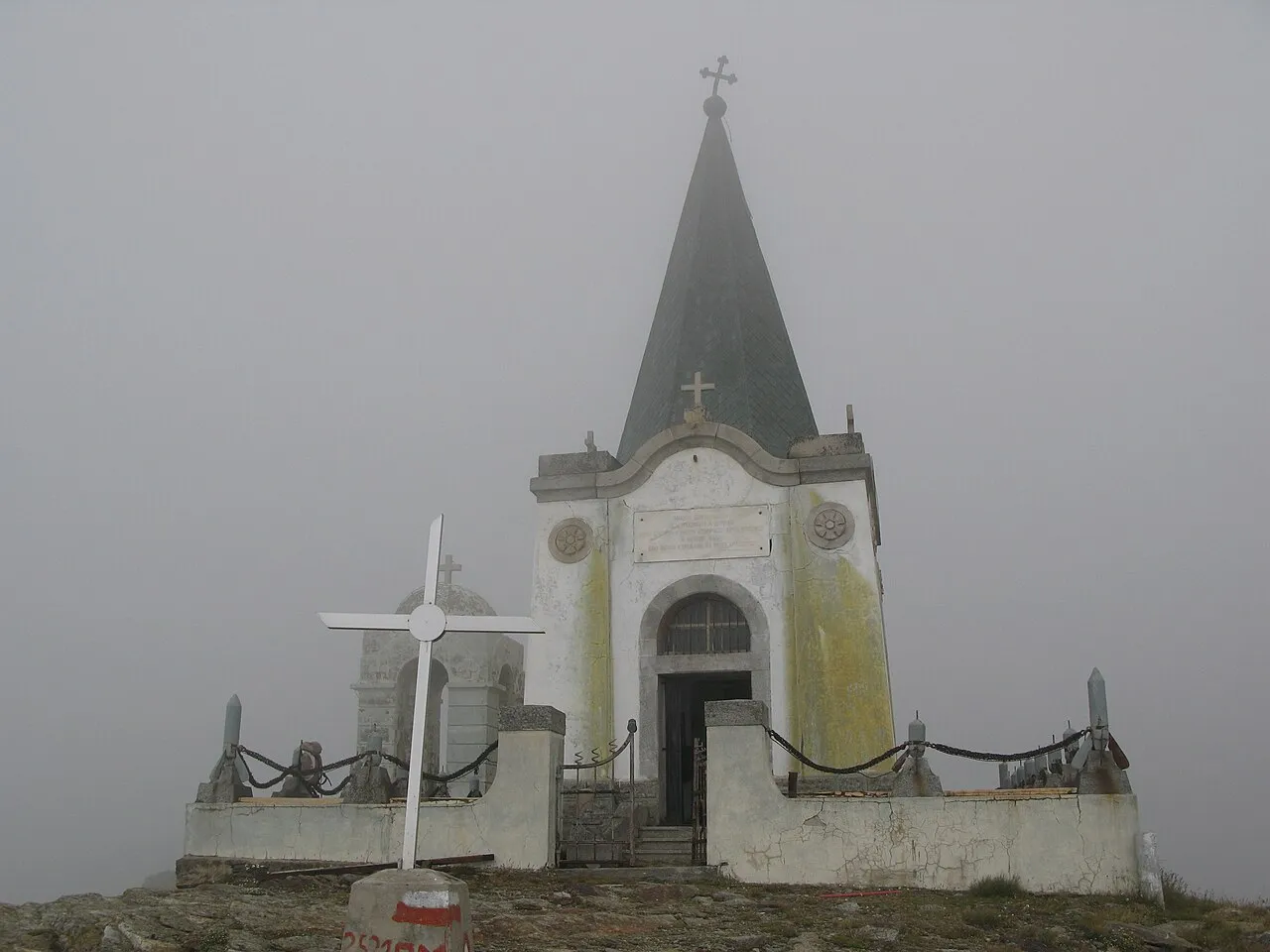
- Elevation
- 2,528 m
- above sea level
About Kajmakčalan
Kajmakčalan is a mountain. Location: Neos Ágios Athanásios, Edessa. Elevation: 2,528 m.
Kajmakčalan (Kaimakchalan), Kaimaki, Kaimaktsalan or Voras (Greek: Καϊμακτσαλάν or Καϊμάκι or Βόρας, Macedonian: Каjмакчалан, romanized: Kajmakčalan), is a mountain on the border between Greece and North Macedonia. It is the southernmost and highest peak, 2,521 metres (8,271 ft), of a range known in Greek as the Voras Mountains and in Macedonian as Nidže. In terms of prominence, the Kaimaktsalan summit rises 1,758 metres above its surroundings. The frontier between the two countries runs across the summit.
Read more on Wikipedia Text: Wikipedia contributors · CC BY-SA 4.0 · shortened
At a glance
- Topographic prominence
- 1,758 m
Source: Wikidata
In comparison
- Highest of 26 mountains in Greece
- 2 sights and natural places within 10 km Voras, Áno Koryfí
Climate of Kajmakčalan
Best months for sightseeing: July–August.
| Month | Jan | Feb | Mar | Apr | May | Jun | Jul | Aug | Sep | Oct | Nov | Dec |
|---|---|---|---|---|---|---|---|---|---|---|---|---|
| Average high (°C) | -6° | -5° | -1° | 4° | 9° | 13° | 16° | 16° | 12° | 6° | 0° | -4° |
| Average low (°C) | -13° | -12° | -10° | -6° | -2° | 1° | 3° | 3° | 0° | -4° | -8° | -11° |
| Precipitation (mm) | 54 | 53 | 60 | 69 | 69 | 53 | 46 | 45 | 45 | 68 | 71 | 61 |
Monthly averages for 1970–2000 at about 18 km resolution, adjusted for elevation. Highlighted months are mild and relatively dry. Source: WorldClim 2.1 (CC BY 4.0).
Airports nearest to Kajmakčalan
- Kozani National Airport Filippos (KZI) Kozani 72 km
- Ohrid St. Paul the Apostle Airport (OHD) Ohrid 92 km
- Thessaloniki Macedonia International Airport (SKG) Thessaloniki 110 km
Straight-line distance; airports with scheduled flights only. Source: OurAirports (public domain).
Nearest towns and villages
Nearby attractions & nature
Everything nearby-
 Voras Mountain, Florina0.1 km E
-
Áno Koryfí Historic site, Almopia9.9 km E
Sources & licences
Data last updated: