Kormista
Local name: Κορμίστα
Located in Amfipoli, Sérres Coordinates: 40°58′48″ N 24°03′20″ E
- Population
- 1,450
- 1.4K
- Elevation
- 234 m
- above sea level
- Local time
- UTC+02:00
- Europe/Athens · UTC+02:00
About Kormista
Kormista is a village. Location: Amfipoli, Sérres. Population: 1,450. Elevation: 234 m.
Kormista (Greek: Κορμίστα) is a village and a former municipality in the Serres regional unit, Greece. Since the 2011 local government reform it is part of the municipality Amfipoli, of which it is a municipal unit. The municipal unit has an area of 74.410 km2 (28.730 sq mi). Population 1,450 (2021). The seat of the municipality was in Nea Bafra.
Read more on Wikipedia Text: Wikipedia contributors · CC BY-SA 4.0 · shortened
In comparison
- No. 2 of 23 places in Amfipoli by population
- Nearest larger town: Nikisiani, 8 km SE
Nearby attractions & nature
Everything nearby-
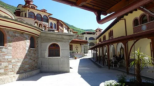 Moni Analhpseos Attraction, Amfipoli5 km S
-
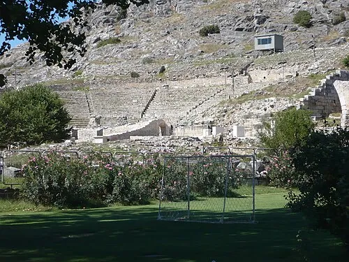 Philippi Historic site, Kavala20 km E
-
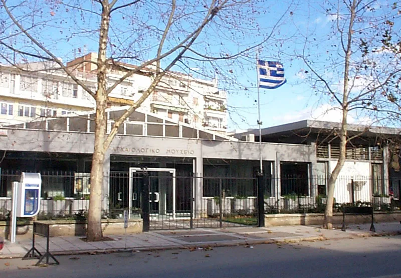 Drama Archaeological Museum Museum, Drama20 km N
Sources & licences
Data last updated: · 2 independent sources