Philippi
Local name: Φίλιπποι
Located in Kavala, Kavala Coordinates: 41°00′42″ N 24°17′03″ E
- Local time
- UTC+02:00
- Europe/Athens · UTC+02:00
- Elevation
- 63 m
- above sea level
- Airports
- KVA Kavala Alexander the Great International Airport30 km
- SKG Thessaloniki Macedonia International Airport124 km
About Philippi
Philippi is a historic site. Location: Kavala, Kavala.
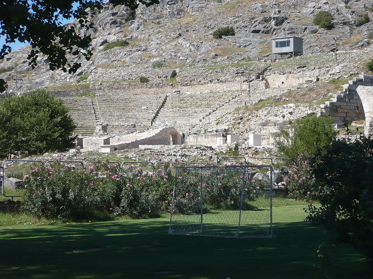
Philippi (; Ancient Greek: Φίλιπποι, Phílippoi) was a major mainland Greek city northwest of the nearby island, Thasos. Its original name was Crenides (Ancient Greek: Κρηνῖδες, Krēnĩdes "Fountains"). The city was renamed by Philip II of Macedon in 356 BC and abandoned in the 14th century after the Ottoman conquest. The present village of Filippoi is located near the ruins of the ancient city within the modern city of Kavala, in turn a part of the administrative region of East Macedonia and Thrace.
Source: Wikipedia · CC BY-SA 4.0
At a glance
- Heritage designation
- World Heritage Site, archaeological site in Greece
Source: Wikidata
Photos of Philippi
-

Berthold Werner · CC BY-SA 3.0 -

Carole Raddato from FRANKFURT, Germany · CC BY-SA 2.0 -

Leonidas7812 · CC BY-SA 4.0 -

DocWoKav · CC BY-SA 4.0 -

Unknown author Unknown author · Public domain


Climate of Philippi
Best months for sightseeingBest months for sightseeing: April–May, September–October.
This month · November
Outside the best season
Day 14° · Night 6° · Rain 70 mm
- Hottest month
- July (day 31°)
- Coldest month
- January (night 1°)
- Wettest month
- November (70 mm)
- Driest month
- August (15 mm)
Bars: average monthly low and high temperature. Below: precipitation. Monthly averages for 1970–2000 at about 18 km resolution, adjusted for elevation. Highlighted months are mild and relatively dry. Source: WorldClim 2.1 (CC BY 4.0).
Show values as a table
| Month | Jan | Feb | Mar | Apr | May | Jun | Jul | Aug | Sep | Oct | Nov | Dec |
|---|---|---|---|---|---|---|---|---|---|---|---|---|
| Average high (°C) | 9° | 10° | 14° | 18° | 24° | 28° | 31° | 31° | 27° | 21° | 14° | 10° |
| Average low (°C) | 1° | 2° | 5° | 9° | 14° | 18° | 20° | 19° | 15° | 11° | 6° | 3° |
| Precipitation (mm) | 62 | 39 | 45 | 37 | 42 | 44 | 31 | 15 | 24 | 53 | 70 | 68 |
Other places to visit in this season: April May September October
How to get to Philippi
The nearest airport is Kavala Alexander the Great International Airport (KVA), 30 km to the east as the crow flies. The nearest large city is Plovdiv, 133 km to the north.
Airports
- Kavala Alexander the Great International Airport (KVA) Kavala 30 kmeast
- Thessaloniki Macedonia International Airport (SKG) Thessaloniki 124 kmsouthwest
- Plovdiv International Airport (PDV) Plovdiv 126 kmnorth
Nearby large cities
- Plovdiv Population: 329.5K 133 kmnorth
- Stara Zagora Population: 121.6K 194 kmnortheast
- Çanakkale Population: 143.6K 204 kmsoutheast
- Edirne Population: 180K 204 kmeast
- Sofia Population: 1.2M 204 kmnorthwest
Straight-line distances; road distances are longer. Airport data: OurAirports.
Day trips from Philippi
Within 100 km: 11 historic and cultural sites, 6 natural sites, 4 lakes, rivers and coasts.
0–25 km4 places
- Ekklisia Zoodochos Pigi Attraction 21 kmN
- Moni Analhpseos Attraction 21 kmSW
- Kynigós Historic site 21 kmNE
- Drama Archaeological Museum Museum 19 kmNW
25–60 km6 places
- Amygdalochóri Historic site 54 kmW
- Moní Agíou Panteleímonos Attraction 43 kmSE
- Panagia Island Island 58 kmSE
- Pelagos Island 58 kmSE
60–100 km11 places
- Kapnótopos Historic site 86 kmNW
- Makryótissa Historic site 84 kmW
- Monastery of Great Lavra Attraction 94 kmS
- Agios Isidoros Island 97 kmSW
Straight-line distances.
Nearby attractions & nature
Everything nearby-
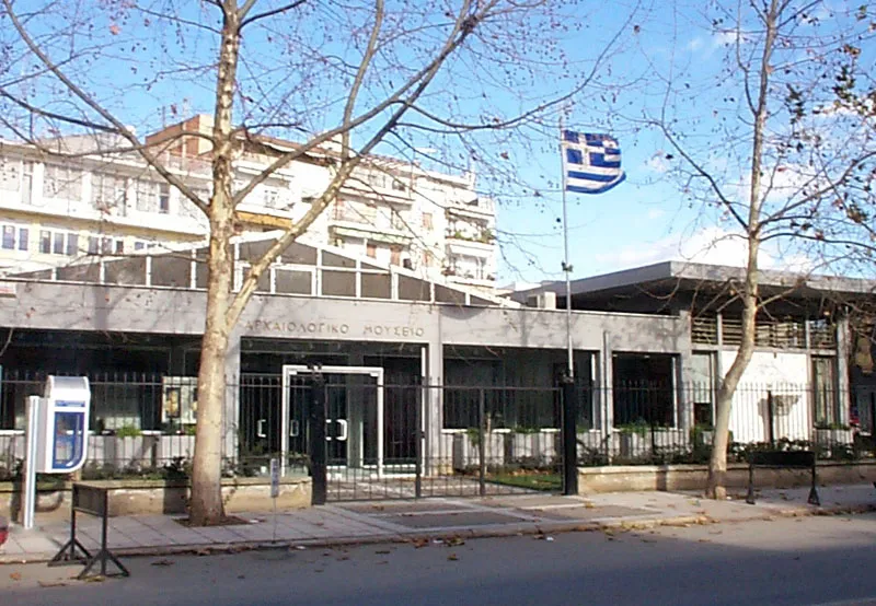 Drama Archaeological Museum Museum, Drama19 km NW
-
Kynigós Historic site, Nestos21 km NE
-
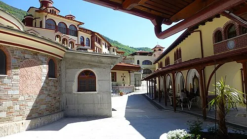 Moni Analhpseos Attraction, Amfipoli21 km SW
-
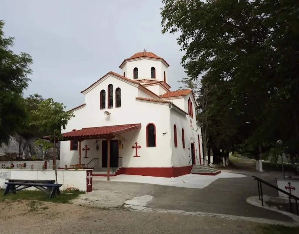 Ekklisia Zoodochos Pigi Attraction, Drama21 km N
Nearest towns and villages
Sources & licences
Data last updated: · 2 independent sources