Kamínia
Local name: Καμίνια
Located in Lemnos, Lesbos Coordinates: 39°51′48″ N 25°19′24″ E
- Population
- 315
- 315
- Elevation
- 64 m
- above sea level
- Local time
- UTC+02:00
- Europe/Athens · UTC+02:00
About Kamínia
Kamínia is a village. Location: Lemnos, Lesbos. Population: 315. Elevation: 64 m.
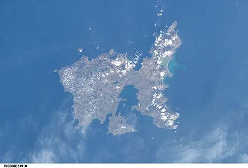
Kaminia (Greek: Καμίνια) is a village in the northeast of the island of Lemnos, Greece. It is a community of the municipal unit of Moudros. From 1918 until 1998, it was an independent community. The community includes the village Vroskopos. It is located in the southeastern peninsula of the island, 5 km east of Moudros, 6 km northwest of Fisini and 7 km south of Kontopouli. Its elevation is about 60 m. Its area is 12.847 km2, of which 7.60 km2 are arable.
Read more on Wikipedia Text: Wikipedia contributors · CC BY-SA 4.0 · shortened
In comparison
- No. 8 of 23 places in Lemnos by population
- Nearest larger town: Mudros, 5 km W
- 2 sights and natural places within 10 km Ispatho Island, Agios Georgios
Airports nearest to Kamínia
- Çanakkale Airport (CKZ) Çanakkale 99 km
- Alexandroupoli Democritus Airport (AXD) Alexandroupolis 123 km
- Kavala Alexander the Great International Airport (KVA) Kavala 131 km
Straight-line distance; airports with scheduled flights only. Source: OurAirports (public domain).
Nearby attractions & nature
Everything nearby-
Ispatho Island Island, Lesbos5.4 km NW
-
Agios Georgios Attraction, Lemnos6.9 km N
-
Panagia Kakaviotissa Attraction, Lemnos19 km W
-
 Nisída Siderítis Island, Lesbos24 km NW
Sources & licences
Data last updated: · 2 independent sources