Goúpata
Local name: Γούπατα
Located in Megalopoli, Arcadia Coordinates: 37°13′38″ N 22°09′38″ E
- Population
- 66
- 66
- Elevation
- 730 m
- above sea level
- Local time
- UTC+02:00
- Europe/Athens · UTC+02:00
About Goúpata
Goúpata is a village. Location: Megalopoli, Arcadia. Population: 66. Elevation: 730 m.
Akovos (Greek: Άκοβος) is a mountain village and a community in the municipal unit of Falaisia, southwestern Arcadia, Greece. It is situated in the foothills of the Taygetus mountains. Its nearest villages are Dyrrachio and Leptini. It is 4 kilometres (2.5 mi) west of Dyrrachio, 4 km northeast of Poliani (Messenia), 15 km (9.3 mi) south of Leontari and 23 km (14 mi) south of Megalopoli. The community includes the village Goupata.
Read more on Wikipedia Text: Wikipedia contributors · CC BY-SA 4.0 · shortened
In comparison
- No. 26 of 65 places in Megalopoli by population
- Nearest larger town: Káto Giannaíoi, 2 km E
Nearby attractions & nature
Everything nearby-
Moni Ambelaki Attraction, Megalopoli6.8 km NE
-
Moni Dimiovis Attraction, Kalamata21 km S
-
Moní Velanidiás Attraction, Kalamata18 km S
-
Ierá Moní Agíou Nikoláou Kaltezón Attraction, Tripoli16 km NE
-
Moni Gardikiou Attraction, Kalamata17 km SW
-
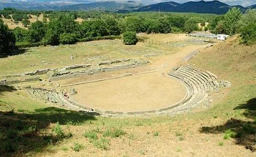 Ancient Theater of Megalopolis Historic site, Megalopoli21 km N
Sources & licences
Data last updated: · 2 independent sources