Mycenae
Local name: Δημοτική Ενότητα Μυκηναίων
Located in Argos-Mykines, Argolida Coordinates: 37°43′10″ N 22°44′44″ E
- Population
- 2,885
- 2.9K
- Elevation
- 109 m
- above sea level
- Local time
- UTC+02:00
- Europe/Athens · UTC+02:00
About Mycenae
Mycenae is a village. Location: Argos-Mykines, Argolida. Population: 2,885. Elevation: 109 m.
Mykines (Greek: Μυκήνες, romanized: Mykínes), known before 1916 as Charvati (Χαρβάτι), is a village and a former municipality in Argolis, Peloponnese, Greece. Since the 2011 local government reform it is part of the municipality Argos-Mykines, of which it is a municipal unit. The municipal unit has an area of 159.033 km2. It is located 1 km west of the ancient site of Mycenae and 2 km east of the highway linking Argos and Corinth. It is 9 km north of Argos.
Read more on Wikipedia Text: Wikipedia contributors · CC BY-SA 4.0 · shortened
In comparison
- No. 4 of 74 places in Argos-Mykines by population
- Nearest larger town: Koutsopodi, 5 km SW
- 2 sights and natural places within 10 km Aspida, Archaeological Museum of Argos
Nearby attractions & nature
Everything nearby-
Aspida Mountain, Argos-Mykines8.7 km S
-
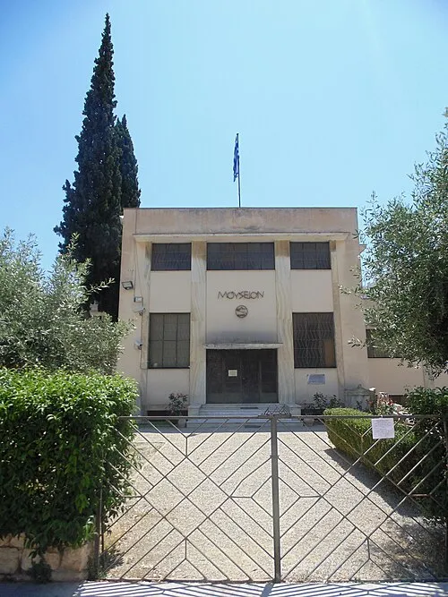 Archaeological Museum of Argos Museum, Argos-Mykines9.6 km S
-
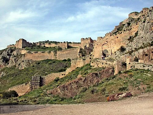 Acrocorinth Historic site, Corinth22 km NE
-
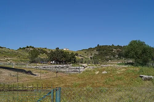 Phlius Historic site, Nemea16 km NW
-
Mália Giónali Mountain, Nafplio16 km E
-
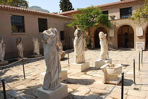 Archaeological Museum of Ancient Corinth Museum, Corinth24 km NE
Sources & licences
Data last updated: · 2 independent sources