Archaeological Museum of Argos
Located in Argos-Mykines, Argolida Coordinates: 37°38′04″ N 22°43′38″ E
- Local time
- UTC+02:00
- Europe/Athens · UTC+02:00
- Elevation
- 20 m
- above sea level
- Airports
- KLX Kalamata Airport88 km
- ATH Athens Eleftherios Venizelos International Airport112 km
About Archaeological Museum of Argos
Archaeological Museum of Argos is a museum. Location: Argos-Mykines, Argolida.
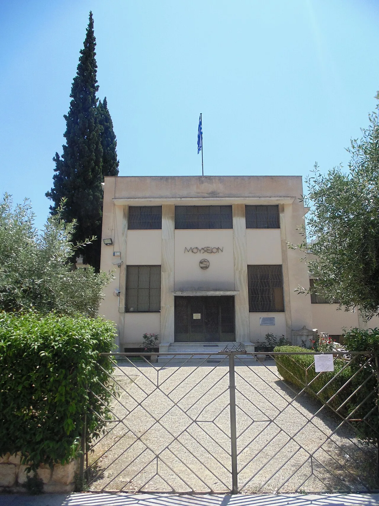
The Archaeological Museum of Argos (Greek: Αρχαιολογικό Μουσείο Άργους) is a museum in Argos, in Argolis on the Peloponnese peninsula, Greece. The history of the museum began in April 1932, when the heirs of J. Kallergis donated the building to the Argos city council. They in turn gave it to the Greek state along with the surrounding area on October 25, 1955. The museum consists of two sections; the Kallergeio museum which was inaugurated in 1957 and the new section in 1961.
Source: Wikipedia · CC BY-SA 4.0
Photos of Archaeological Museum of Argos
-

O.Mustafin · CC BY-SA 4.0 -

AlMare · CC BY-SA 3.0 -

Odysses · CC BY-SA 4.0 -

Zde · CC BY-SA 4.0


Climate of Archaeological Museum of Argos
Best months for sightseeingBest months for sightseeing: April–May, October.
This month · November
Outside the best season
Day 18° · Night 9° · Rain 96 mm
- Hottest month
- July (day 33°)
- Coldest month
- January (night 5°)
- Wettest month
- December (101 mm)
- Driest month
- July (8 mm)
Bars: average monthly low and high temperature. Below: precipitation. Monthly averages for 1970–2000 at about 18 km resolution, adjusted for elevation. Highlighted months are mild and relatively dry. Source: WorldClim 2.1 (CC BY 4.0).
Show values as a table
| Month | Jan | Feb | Mar | Apr | May | Jun | Jul | Aug | Sep | Oct | Nov | Dec |
|---|---|---|---|---|---|---|---|---|---|---|---|---|
| Average high (°C) | 13° | 14° | 16° | 20° | 25° | 31° | 33° | 32° | 29° | 23° | 18° | 15° |
| Average low (°C) | 5° | 5° | 7° | 10° | 14° | 18° | 20° | 20° | 17° | 13° | 9° | 7° |
| Precipitation (mm) | 76 | 73 | 61 | 42 | 22 | 10 | 8 | 12 | 18 | 64 | 96 | 101 |
How to get to Archaeological Museum of Argos
The nearest airport is Kalamata Airport (KLX), 88 km to the southwest as the crow flies. For international flights: Athens Eleftherios Venizelos International Airport (ATH) (112 km). The nearest large city is Piraeus, 88 km to the northeast.
Airports
- Kalamata Airport (KLX) Kalamata 88 kmsouthwest
- Athens Eleftherios Venizelos International Airport (ATH) Spata-Artemida 112 kmeast
- Patras Araxos Agamemnon Airport (GPA) Patras 128 kmnorthwest
Nearby large cities
- Piraeus Population: 163.7K 88 kmnortheast
- Athens Population: 664K 96 kmnortheast
- Çiğli Population: 214.1K 393 kmeast
- Konak Population: 332.3K 393 kmeast
- Karabağlar Population: 479.3K 396 kmeast
Straight-line distances; road distances are longer. Airport data: OurAirports.
Day trips from Archaeological Museum of Argos
Within 100 km: 34 historic and cultural sites, 3 natural sites, 38 lakes, rivers and coasts.
0–25 km3 places
- Mália Giónali Mountain 18 kmE
- Aspida Mountain 1 kmNW
- Phlius Historic site 24 kmN
25–60 km14 places
- Agistri Island 55 kmE
- Moní Agíon Pánton Attraction 57 kmSE
- Ierá Moní Agíou Nikoláou Kaltezón Attraction 52 kmSW
- Nisída Trachíli Island 41 kmE
60–100 km58 places
- Pnyx Mountain 95 kmNE
- Moní Agíou Ierothéou Attraction 63 kmNE
- Moni Voulkanou Attraction 86 kmSW
- Moni Gardikiou Attraction 84 kmSW
Straight-line distances.
Nearby attractions & nature
Everything nearby-
Aspida Mountain, Argos-Mykines1 km NW
-
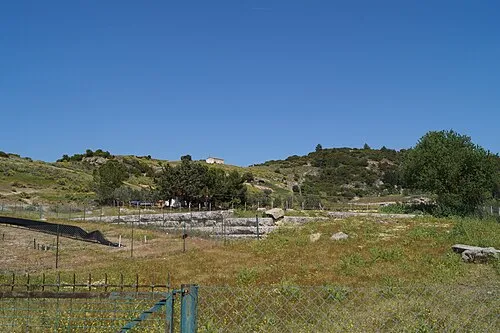 Phlius Historic site, Nemea24 km N
-
Mália Giónali Mountain, Nafplio18 km E
Nearest towns and villages
Sources & licences
Data last updated: · 2 independent sources