Halki
Local name: Χάλκη
Located in Dodecanese, South Aegean Coordinates: 36°13′49″ N 27°34′14″ E
- Elevation
- 442 m
- above sea level
- Local time
- UTC+02:00
- Europe/Athens · UTC+02:00
About Halki
Halki is an island. Location: Dodecanese, South Aegean.
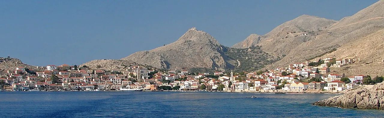
Halki (Greek: Χάλκη [ˈxalki]; alternatively Chalce or Chalki) is a Greek island and municipality in the Dodecanese archipelago in the Aegean Sea, some 9 km (6 mi) west of Rhodes. It has an area of 28 km2 (11 sq mi). It is part of the Rhodes regional unit. It has a permanent population of 330 (increased during the summer months), concentrated in the only village of Emporio. The 2021 census showed a population of 475 inhabitants.
Read more on Wikipedia Text: Wikipedia contributors · CC BY-SA 4.0 · shortened
At a glance
- Area
- 28 km²
Source: Wikidata
Nearest towns and villages
Nearby attractions & nature
Everything nearby-
Capo Cuzzuva Natural site, Dodecanese24 km NW
-
Monte Cuzzuva Natural site, Dodecanese22 km NW
-
Drosonisi Island, Rhodes20 km E
Sources & licences
Data last updated: · 2 independent sources