Vrachonisída Astakidópoulo
Local name: Αστακιδόπουλο
Located in Karpathos, Dodecanese Coordinates: 35°52′32″ N 26°49′30″ E
- Elevation
- 32 m
- above sea level
- Local time
- UTC+02:00
- Europe/Athens · UTC+02:00
- Population
- 2
- 2
- Airports
- AOK Karpathos Airport58 km
- JSH Sitia Airport98 km
About Vrachonisída Astakidópoulo
Vrachonisída Astakidópoulo is an island. Location: Karpathos, Dodecanese. Population: 2. The best months to visit are May–June, September–October. The nearest airport is Karpathos Airport (58 km).
Photos of Vrachonisída Astakidópoulo
-
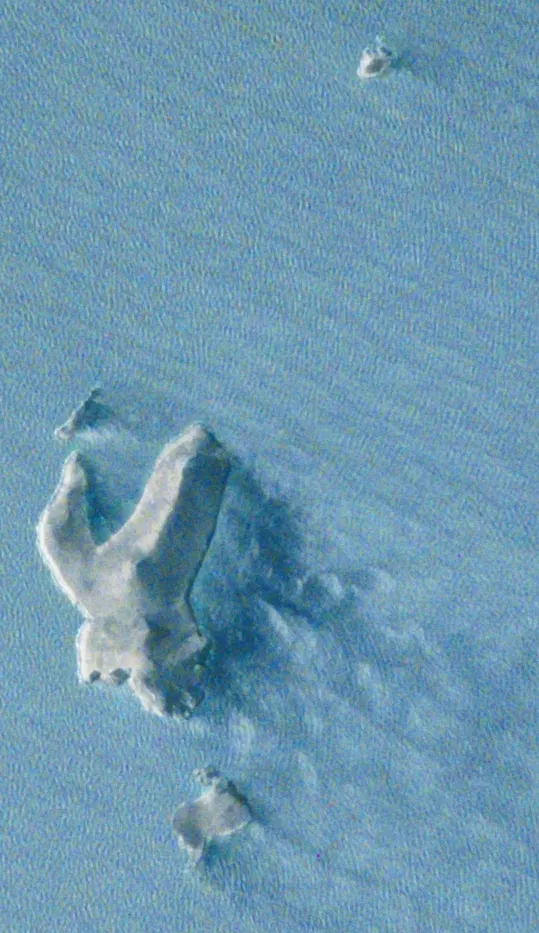
Vrachonisídes Astakída Astakida.jpg : Image Science and Analysis Laboratory, NASA-Johnson Space Center. "The Gateway to Astronaut Photography o · Public domain

Climate of Vrachonisída Astakidópoulo
Best months for sightseeingBest months for sightseeing: May–June, September–October.
This month · November
Outside the best season
Day 20° · Night 16° · Rain 73 mm
- Hottest month
- August (day 28°)
- Coldest month
- February (night 12°)
- Wettest month
- January (133 mm)
- Driest month
- July (1 mm)
Bars: average monthly low and high temperature. Below: precipitation. Monthly averages for 1970–2000 at about 18 km resolution, adjusted for elevation. Highlighted months are mild and relatively dry. Source: WorldClim 2.1 (CC BY 4.0).
Show values as a table
| Month | Jan | Feb | Mar | Apr | May | Jun | Jul | Aug | Sep | Oct | Nov | Dec |
|---|---|---|---|---|---|---|---|---|---|---|---|---|
| Average high (°C) | 16° | 16° | 17° | 19° | 22° | 26° | 28° | 28° | 26° | 24° | 20° | 18° |
| Average low (°C) | 12° | 12° | 13° | 15° | 18° | 22° | 24° | 24° | 23° | 20° | 16° | 14° |
| Precipitation (mm) | 133 | 100 | 70 | 31 | 13 | 3 | 1 | 1 | 11 | 53 | 73 | 117 |
Other places to visit in this season: May June September October
How to get to Vrachonisída Astakidópoulo
The nearest airport is Karpathos Airport (AOK), 58 km to the southeast as the crow flies. For international flights: Kos International Airport "Ippokratis" (KGS) (105 km). The nearest large city is Aydin, 237 km to the north.
Airports
- Karpathos Airport (AOK) Karpathos Island 58 kmsoutheast
- Sitia Airport (JSH) Crete Island 98 kmsouthwest
- Kos International Airport "Ippokratis" (KGS) Kos Island 105 kmnorth
Nearby large cities
- Aydin Population: 163K 237 kmnorth
- Nazilli Population: 119.4K 263 kmnortheast
- Karabağlar Population: 479.3K 279 kmnorth
- Konak Population: 332.3K 281 kmnorth
- Izmir Population: 2.9M 283 kmnorth
Straight-line distances; road distances are longer. Airport data: OurAirports.
Day trips from Vrachonisída Astakidópoulo
Within 100 km: 3 natural sites, 17 lakes, rivers and coasts.
0–25 km1 place
- Vrachonisídes Astakída Island 2 kmN
25–60 km10 places
- Ounianísia Island 33 kmW
- Nisída Diakóftis Island 52 kmSE
- Nisída Chalkiás Island 51 kmSE
- Nisída Afóti Island 53 kmSE
60–100 km9 places
- Halki Island 78 kmNE
- Punta Bue Natural site 82 kmNE
- Drosonisi Island 96 kmNE
- Nisída Chteniés Island 80 kmE
Straight-line distances.
Nearest towns and villages
-
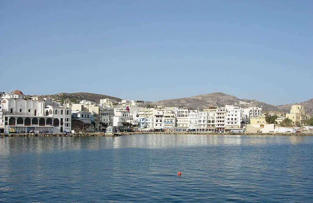 Karpathos Town, Karpathos54 km SE
-
Ólymbos Village, Karpathos35 km SE
-
Óthos Village, Karpathos47 km SE
-
Kasos Municipality, Dodecanese54 km S
-
Agia Marina Village, Kasos52 km S
-
Arvanitochori Village, Kasos53 km S
Sources & licences
Data last updated: · 2 independent sources