Demenika
Local name: Δεμένικα
Located in Patras, Achaea Coordinates: 38°12′06″ N 21°44′36″ E
- Population
- 2,845
- 2.8K
- Elevation
- 42 m
- above sea level
- Local time
- UTC+02:00
- Europe/Athens · UTC+02:00
About Demenika
Demenika is a village. Location: Patras, Achaea. Population: 2,845. Elevation: 42 m.
Demenika (Greek: Δεμένικα) is a village/suburb in the municipality of Patras, Achaea, Greece. It lies 5 kilometres (3.1 mi) south of the city centre, south of the river Glafkos. It is part of the community of Saravali within the municipal unit of Messatida. It is 2 km northeast of Ovrya and 4 km east of Paralia. The Greek National Road 33 (Patras - Tripoli) passes through the village, and the new Greek National Road 9 (Patras - Pyrgos) passes south of the village.
Read more on Wikipedia Text: Wikipedia contributors · CC BY-SA 4.0 · shortened
In comparison
- No. 6 of 30 places in Patras by population
- Nearest larger town: Ovriá, 2 km SW
Nearby attractions & nature
Everything nearby-
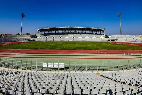 Pampeloponnisiako Stadium Landmark, Patras2.3 km N
-
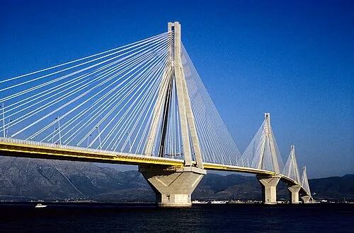 Rio–Antirrio Bridge Landmark, Nafpaktia14 km N
-
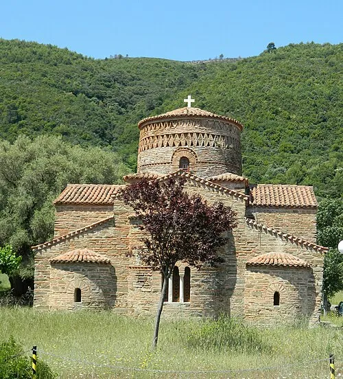 Panagia Panaxiotissa Attraction, Nafpaktia24 km NW
-
Lakopetra Beach Beach, West Achaea23 km W
Sources & licences
Data last updated: · 2 independent sources