Kato Rodini
Local name: Κάτω Ροδινή
Located in Patras, Achaea Coordinates: 38°19′33″ N 21°53′38″ E
- Population
- 133
- 133
- Elevation
- 15 m
- above sea level
- Local time
- UTC+02:00
- Europe/Athens · UTC+02:00
About Kato Rodini
Kato Rodini is a village. Location: Patras, Achaea. Population: 133. Elevation: 15 m.
Kato Rodini (Greek: Κάτω Ροδινή) is a small coastal settlement in the municipal unit of Rio in the northern part of Achaea, Greece. It is located 2 km north east of Psathopyrgos and 18 km north east of Patras. The Greek National Road 8A (Patras - Aigio - Corinth) pass south of the village. In 1996 the settlement was attached to the neighboring village of Psathopyrgos. The sea and the beach of Rodini is similar to all the beaches of north Peloponnese, 3–5 meters wide with peebles and clean, fresh waters.
Read more on Wikipedia Text: Wikipedia contributors · CC BY-SA 4.0 · shortened
In comparison
- No. 26 of 30 places in Patras by population
- Nearest larger town: Psathopyrgos, 2 km W
Nearby attractions & nature
Everything nearby-
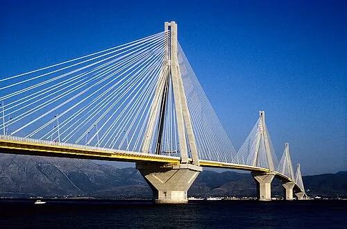 Rio–Antirrio Bridge Landmark, Nafpaktia11 km W
-
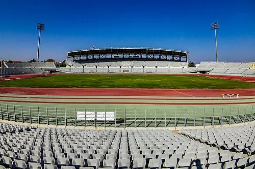 Pampeloponnisiako Stadium Landmark, Patras17 km SW
-
Rígani Mountain, Nafpaktia18 km NW
-
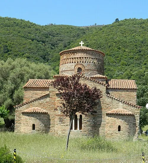 Panagia Panaxiotissa Attraction, Nafpaktia25 km W
Sources & licences
Data last updated: · 2 independent sources