Farangi
Local name: Φαράγγι
Located in Amyntaio, Florina Coordinates: 40°42′45″ N 21°47′18″ E
- Population
- 123
- 123
- Elevation
- 546 m
- above sea level
- Local time
- UTC+02:00
- Europe/Athens · UTC+02:00
About Farangi
Farangi is a village. Location: Amyntaio, Florina. Population: 123. Elevation: 546 m.
Farangi (Greek: Φαράγγι, before 1927: Οκλεμέζ – Oklemez) is a village in Florina Regional Unit, Macedonia, Greece. The 1920 Greek census recorded 250 people in the village, and 250 inhabitants were Muslim in 1923. Following the Greek–Turkish population exchange, Greek refugee families in Oklemez were from Asia Minor (28) in 1926. The 1928 Greek census recorded 135 village inhabitants. In 1928, the refugee families numbered 26 (109 people).
Read more on Wikipedia Text: Wikipedia contributors · CC BY-SA 4.0 · shortened
In comparison
- No. 22 of 29 places in Amyntaio by population
- Nearest larger town: Maniaki, 3 km SW
Climate of Farangi
Best months for sightseeing: May–June, September.
| Month | Jan | Feb | Mar | Apr | May | Jun | Jul | Aug | Sep | Oct | Nov | Dec |
|---|---|---|---|---|---|---|---|---|---|---|---|---|
| Average high (°C) | 6° | 8° | 12° | 17° | 23° | 27° | 30° | 29° | 25° | 19° | 12° | 7° |
| Average low (°C) | -2° | -1° | 2° | 6° | 10° | 14° | 16° | 16° | 12° | 8° | 3° | 0° |
| Precipitation (mm) | 43 | 40 | 45 | 49 | 55 | 42 | 36 | 35 | 38 | 63 | 66 | 50 |
Monthly averages for 1970–2000 at about 18 km resolution, adjusted for elevation. Highlighted months are mild and relatively dry. Source: WorldClim 2.1 (CC BY 4.0).
Airports nearest to Farangi
- Kozani National Airport Filippos (KZI) Kozani 48 km
- Ohrid St. Paul the Apostle Airport (OHD) Ohrid 102 km
- Thessaloniki Macedonia International Airport (SKG) Thessaloniki 102 km
Straight-line distance; airports with scheduled flights only. Source: OurAirports (public domain).
Nearby attractions & nature
Everything nearby-
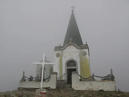 Kajmakčalan Mountain, Neos Ágios Athanásios24 km N
-
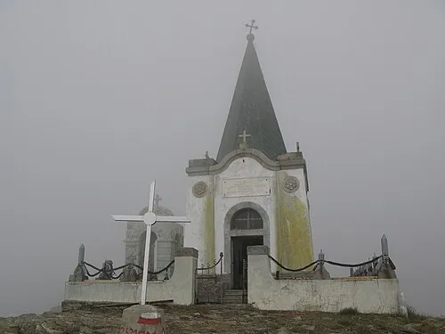 Voras Mountain, Florina24 km N
-
Dimotiko Stadio Ptolemaidas Landmark, Eordaia24 km S
Sources & licences
Data last updated: · 2 independent sources