Mezőkovácsháza
Located in Bekes County, Hungary Coordinates: 46°24′00″ N 20°55′00″ E
- Population
- 6,877
- 6.9K
- Elevation
- 97 m
- above sea level
- Local time
- UTC+01:00
- Europe/Budapest · UTC+01:00
About Mezőkovácsháza
Mezőkovácsháza is a city. Location: Bekes County, Hungary. Population: 6,877. Elevation: 97 m.
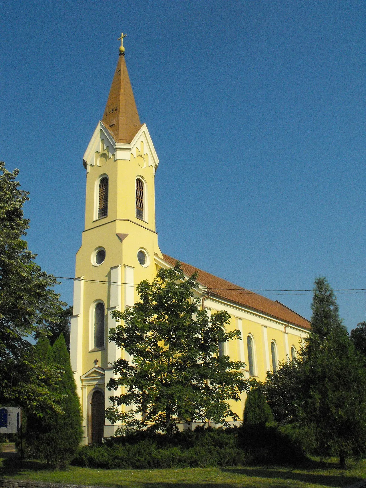
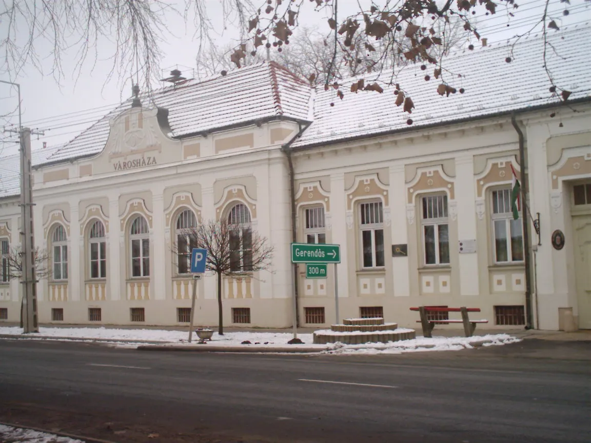
Mezőkovácsháza (Romanian: Covaciu de Câmpie) is a town in Békés County, in the Southern Great Plain region of south-east Hungary.
Read more on Wikipedia Text: Wikipedia contributors · CC BY-SA 4.0 · shortened
At a glance
- Area
- 62.6 km²
Source: Wikidata
In comparison
- No. 12 of 45 places in Bekes County by population
- Nearest larger town: Orosháza, 27 km NW
- 2 sights and natural places within 10 km Mezőkovácsháza Ghetto, Magyarbánhegyes Ghetto
Airports nearest to Mezőkovácsháza
- Arad International Airport (ARW) Arad 37 km
- Timișoara Traian Vuia International Airport (TSR) Timişoara 73 km
- Oradea International Airport (OMR) Oradea 103 km
Straight-line distance; airports with scheduled flights only. Source: OurAirports (public domain).
Nearby attractions & nature
Everything nearby-
Mezőkovácsháza Ghetto Historic site, Bekes County<0.1 km N
-
Magyarbánhegyes Ghetto Historic site, Bekes County6.8 km NE
-
Tótkomlós Ghetto Historic site, Bekes County14 km W
Other cities and towns in Bekes County
Sources & licences
Data last updated: · 2 independent sources